Hotel Indonesia Kempinski
The Jakarta Collection
Held in our gallery at Hotel Indonesia Kempinski: maps, prints and books of the Dutch East Indies and Southeast Asia. Enquire and we will arrange a viewing in Jakarta.
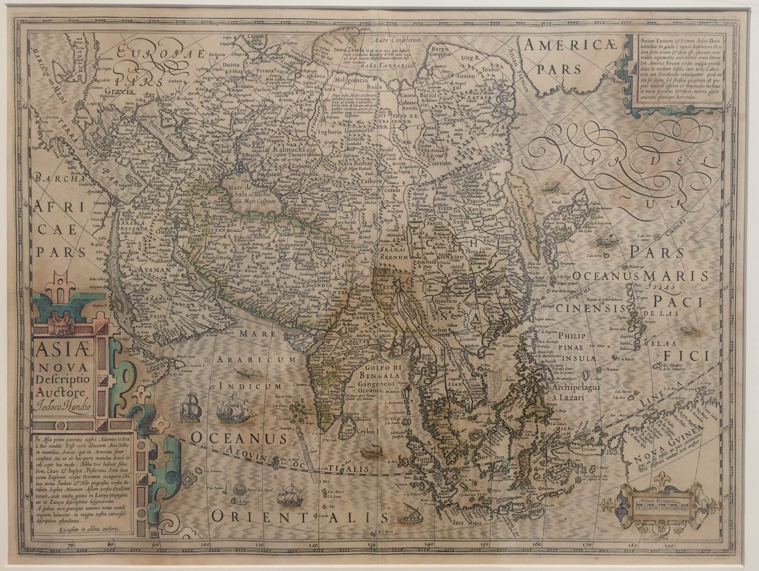
Antique Map of Asia by Hondius (c.1619)
J. Hondius · 1619
IDR 22,400,000
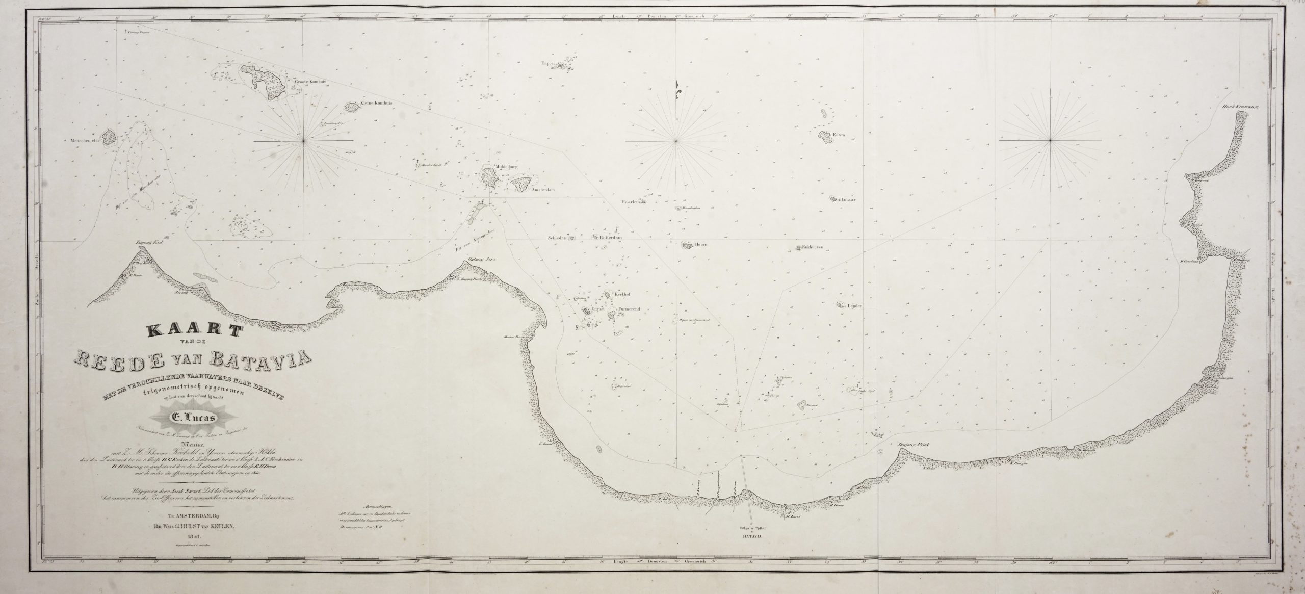
Chart of Batavia Harbour – Escher (c.1841)
B.G Escher · 1841
IDR 20,100,000
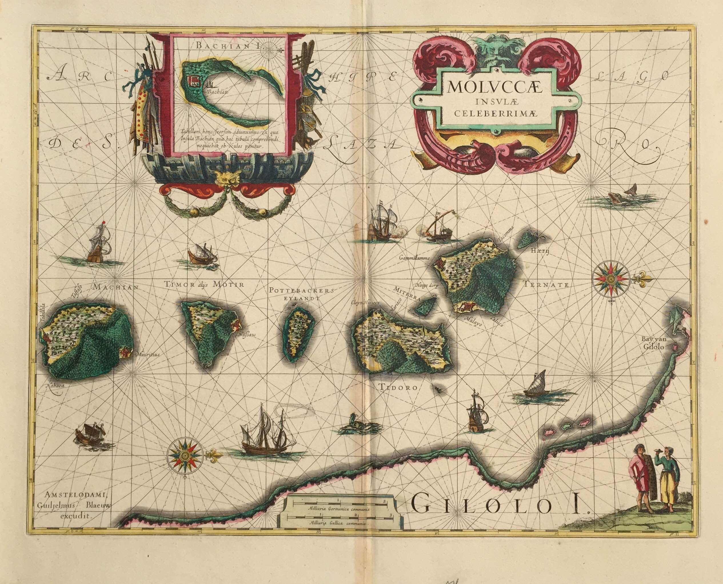
Antique Map Spice Islands by Blaeu (c.1630)
Blaeu · 1640
US$ 1,250
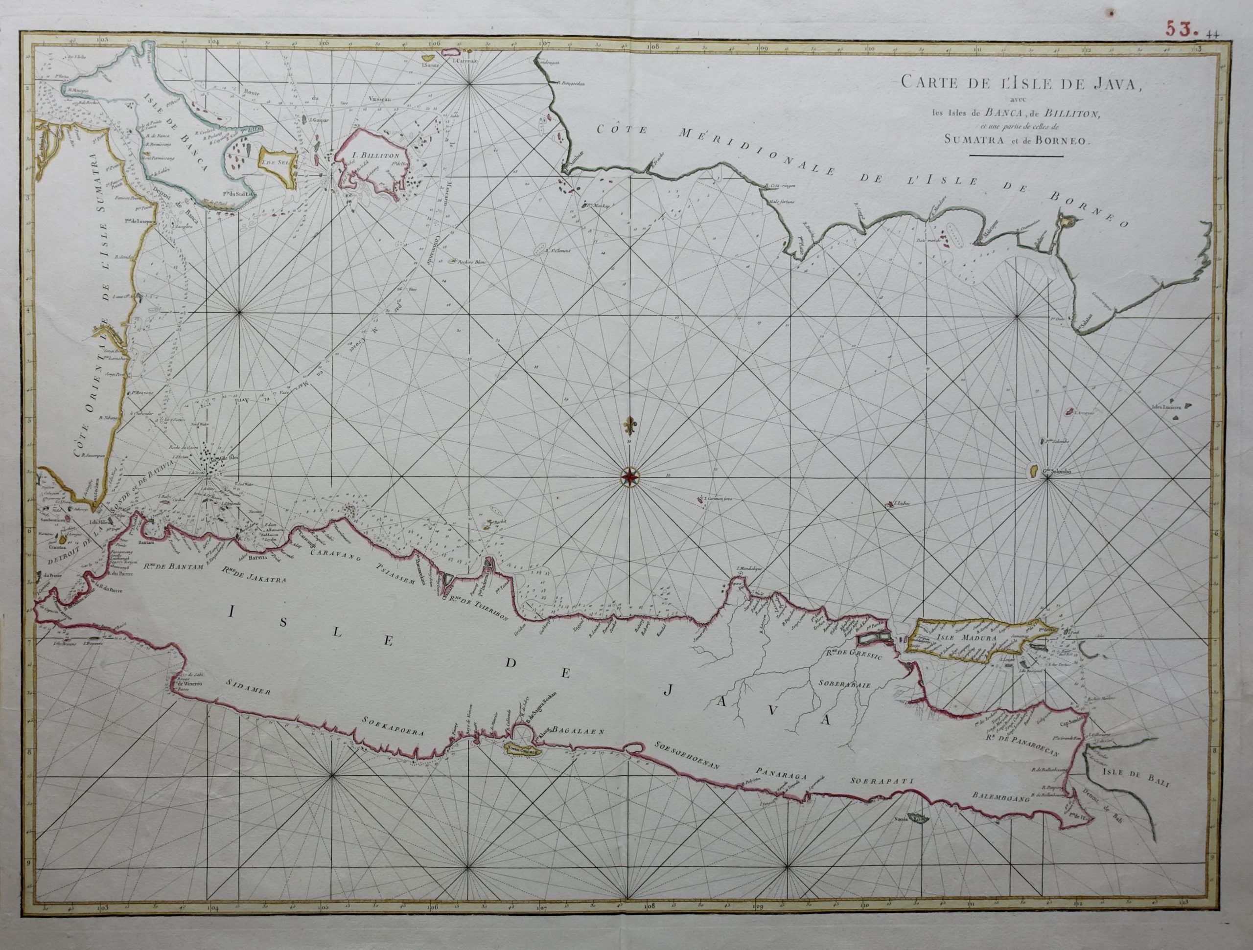
Sea Chart of Java – Mannevillette (1750)
Mannevillette · 1750
US$ 1,150
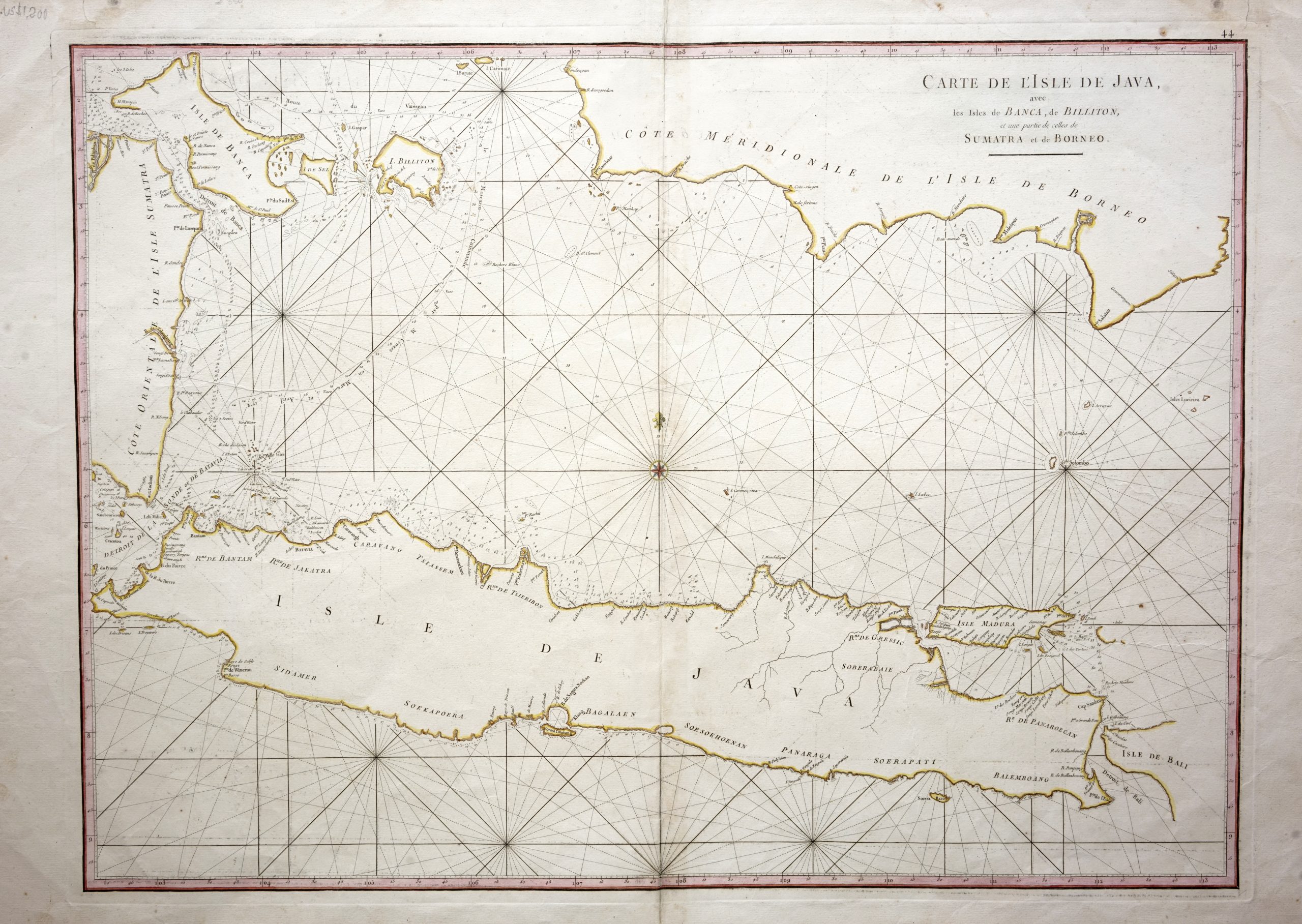
Sea Chart of Java Island – Mannevillette (c.1745)
Mannevillette · 1745
IDR 17,200,000
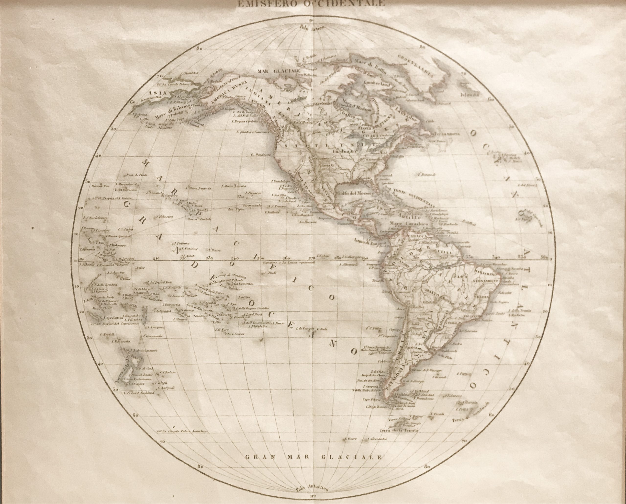
Emisfero Occidentale – unknown (1800)
Unknown · 1800
IDR 15,000,000
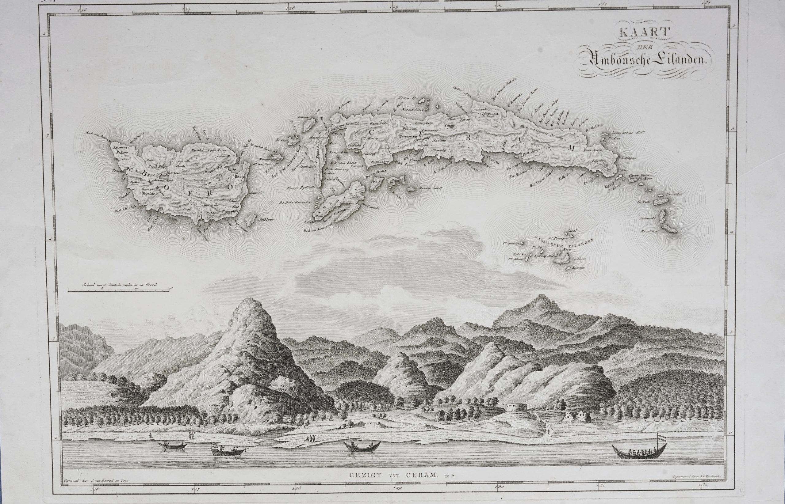
Map of Banda Islands and the Moluccas – van den Bosch & Baarsel (1818)
van Baarsel · 1682
IDR 14,960,000
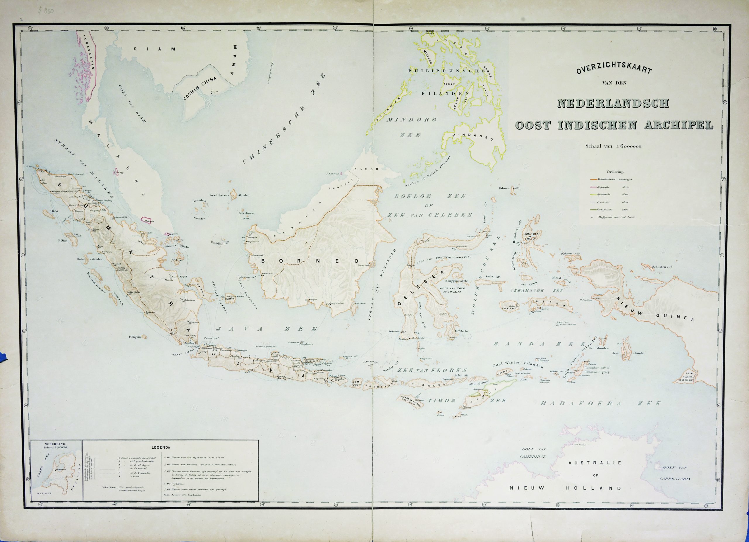
Map of the East Indies c.1895-1901
Unknown · 1895-1901
US$ 880
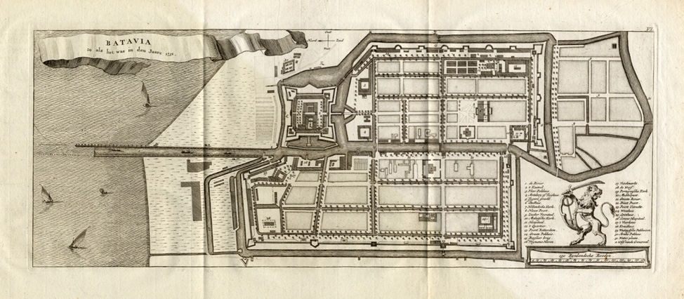
Batavia zo als het was in den Jaare 1731 – Conrade (1782)
Bellin/Prevost · 1731
IDR 12,950,000
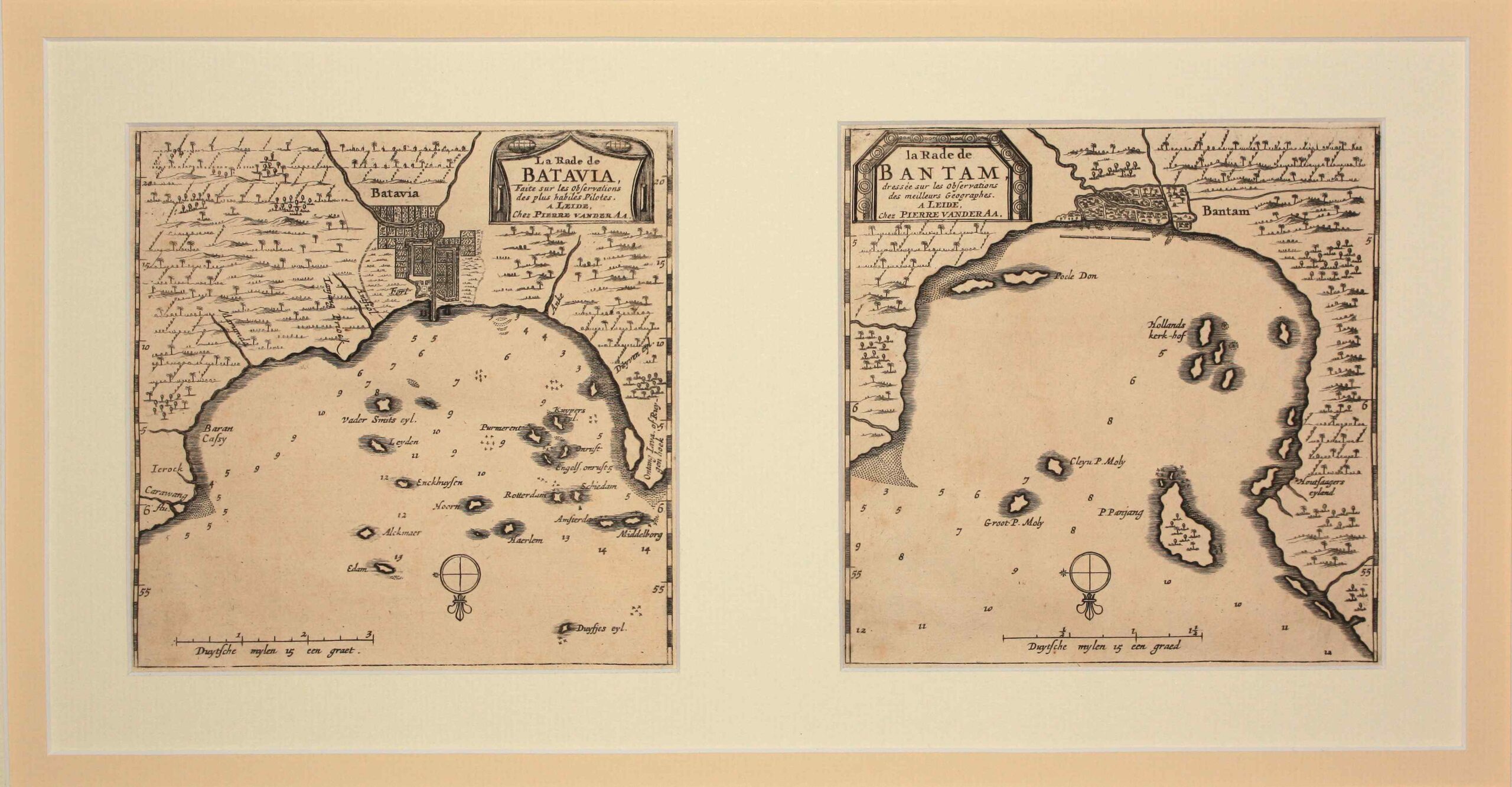
Antique Map Batavia and Bantam by Van der Aa (c.1714)
Van der Aa · 1714-1729
IDR 12,015,000
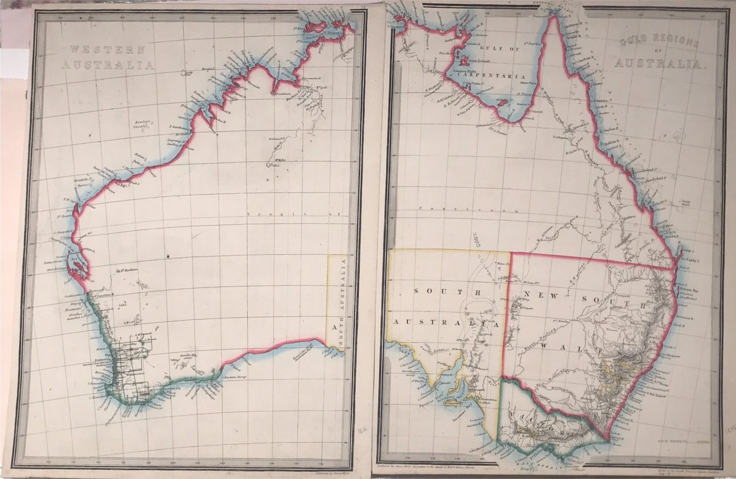
Western Australia and the Gold Regions – Anonymous (1864)
James Wyld · 1864
IDR 11,900,000
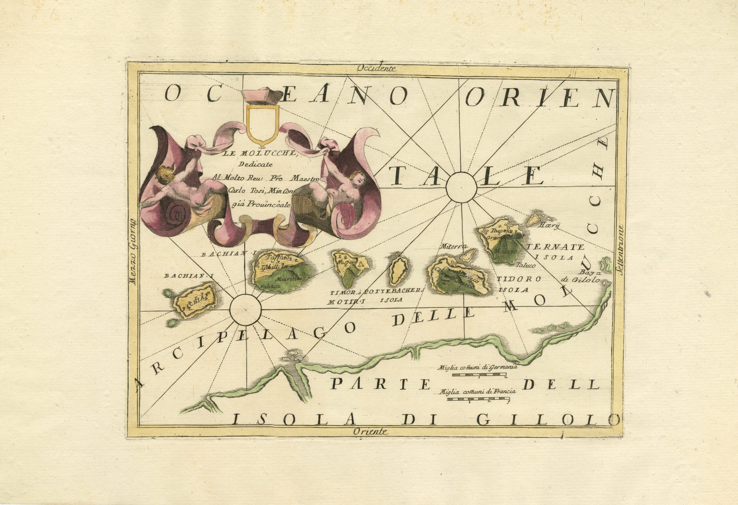
Antique Map Spice Islands by Coronelli (c.1690)
Coronelli · 1690
IDR 11,560,000
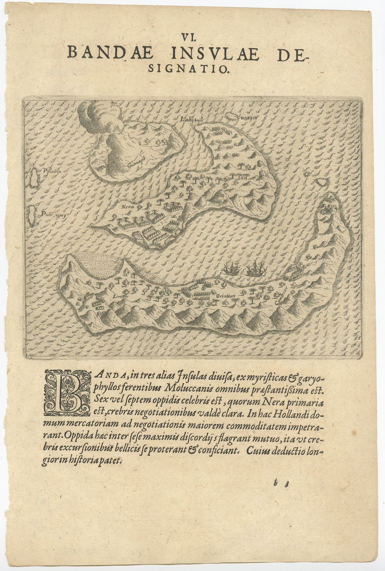
Antique Map of the Banda Islands by De Bry (c.1600)
Theodore De Bry · 1600
US$ 650
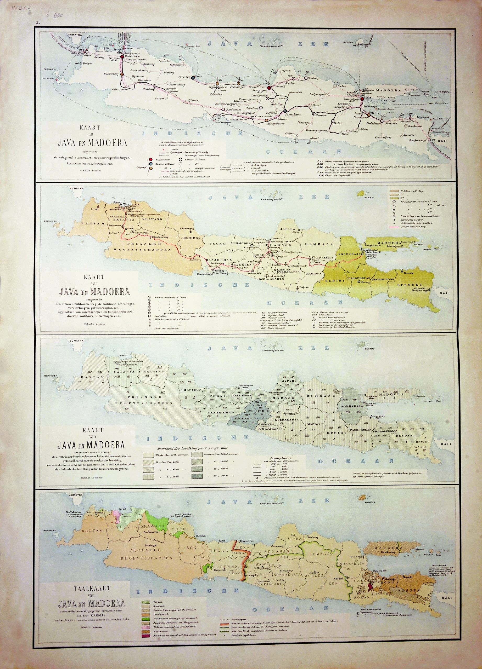
A set of Java Map – Stemfoort (1883-1885)
J.W. Stemfoort/ J.J. ten Siethoff · 1883-1885
US$ 600
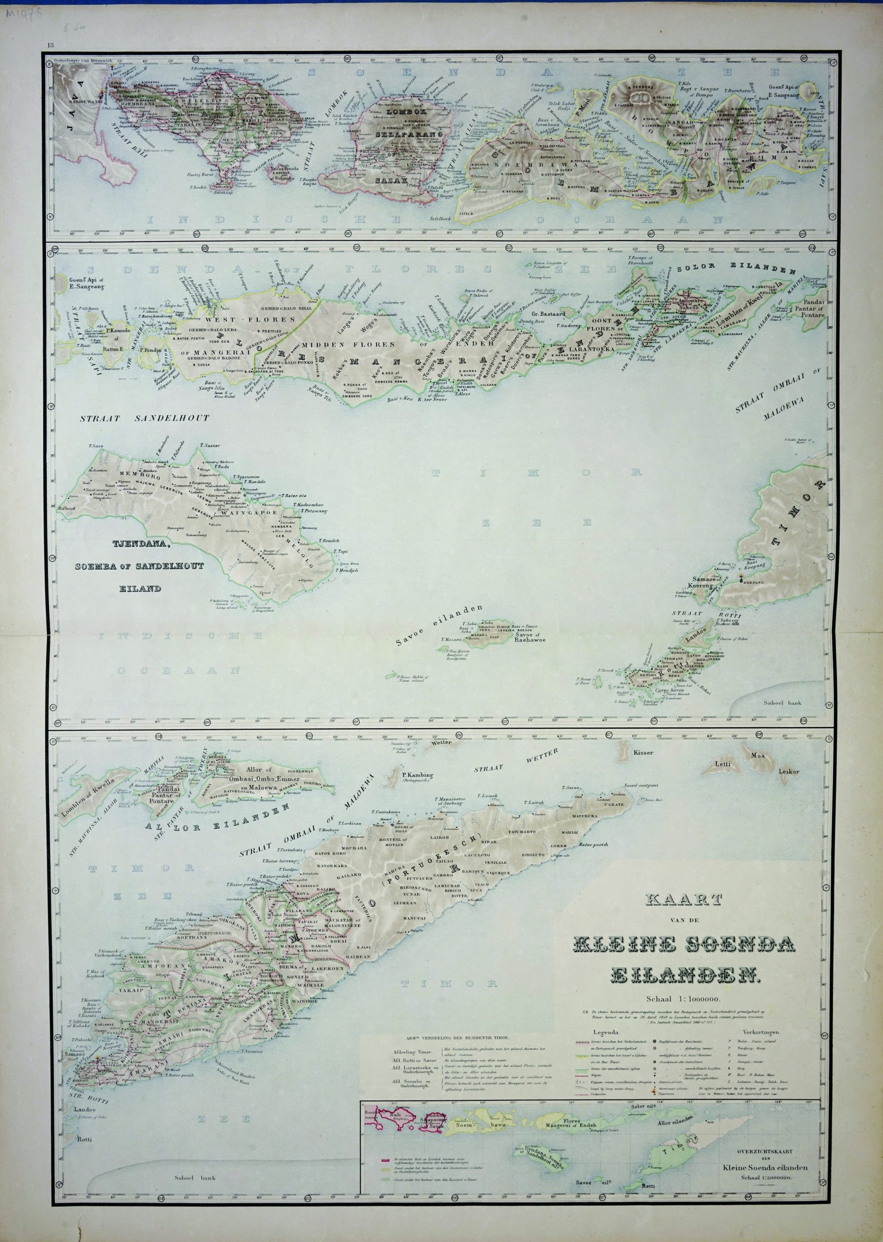
Map of Lesser Sunda Islands – Stemfoort & Siethoff (c.1883-1885)
J.W. Stemfoort/ J.J. ten Siethoff · 1883-1885
US$ 600
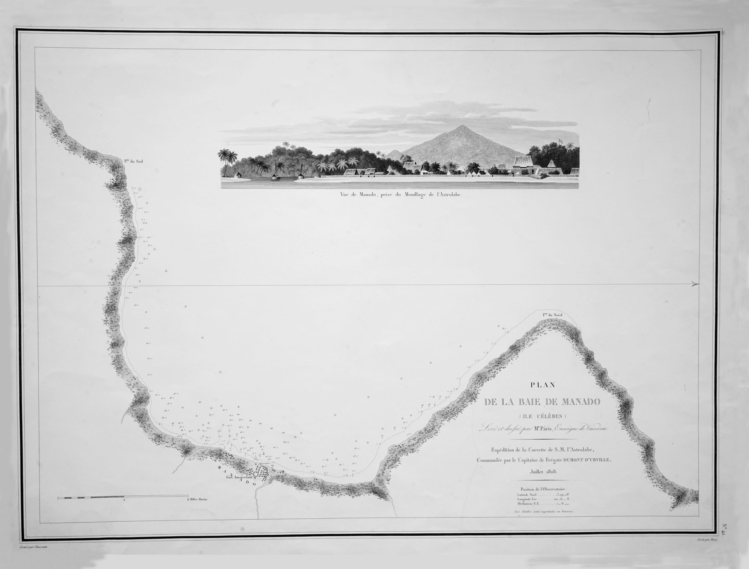
Map of Manado Bay – Dumont d’Urville (c.1828)
Dumont D'Urville · 1828
IDR 9,000,000
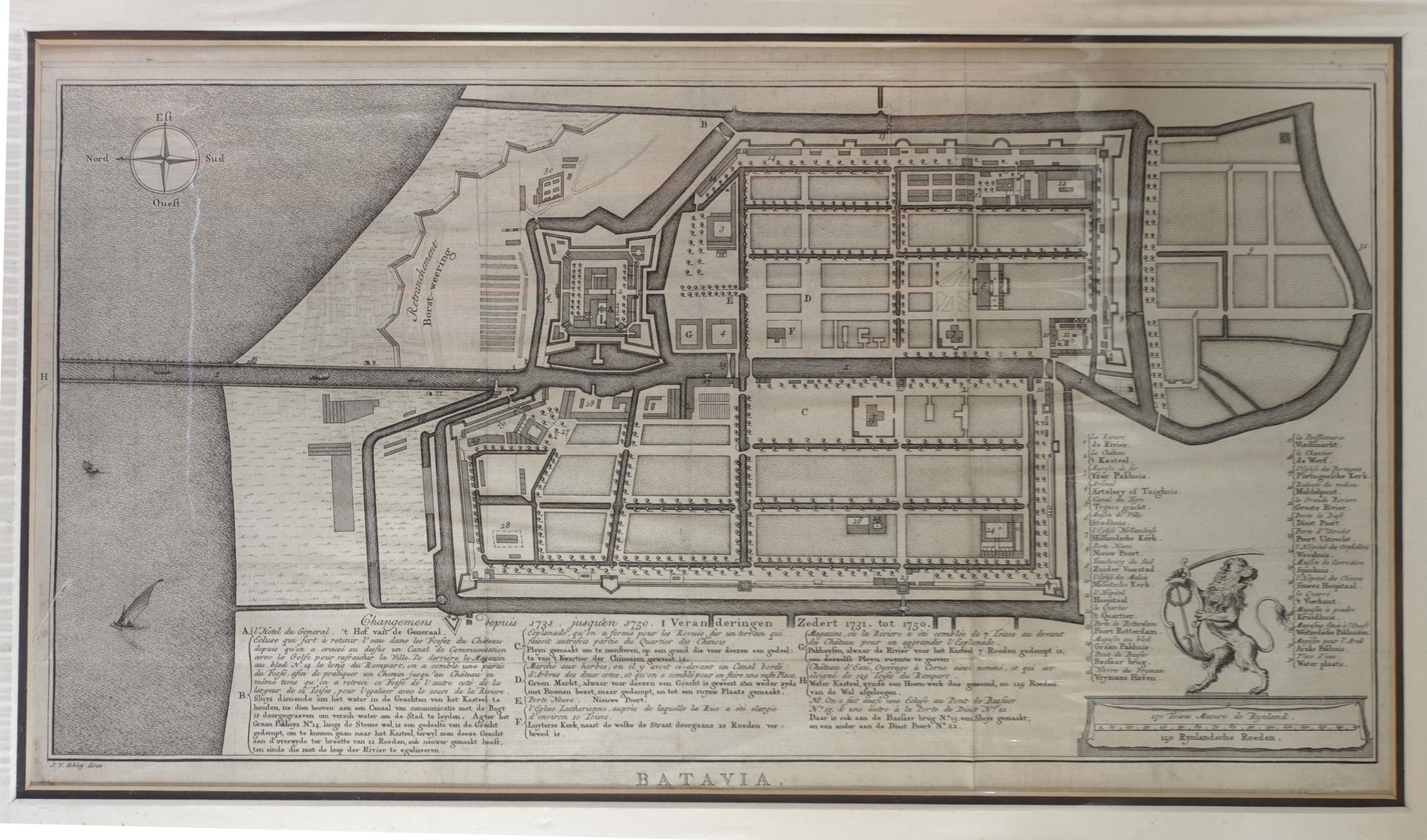
Antique Map of Batavia by Van Schley (c.1750)
Prevost / Bellin · 1747
IDR 8,500,000
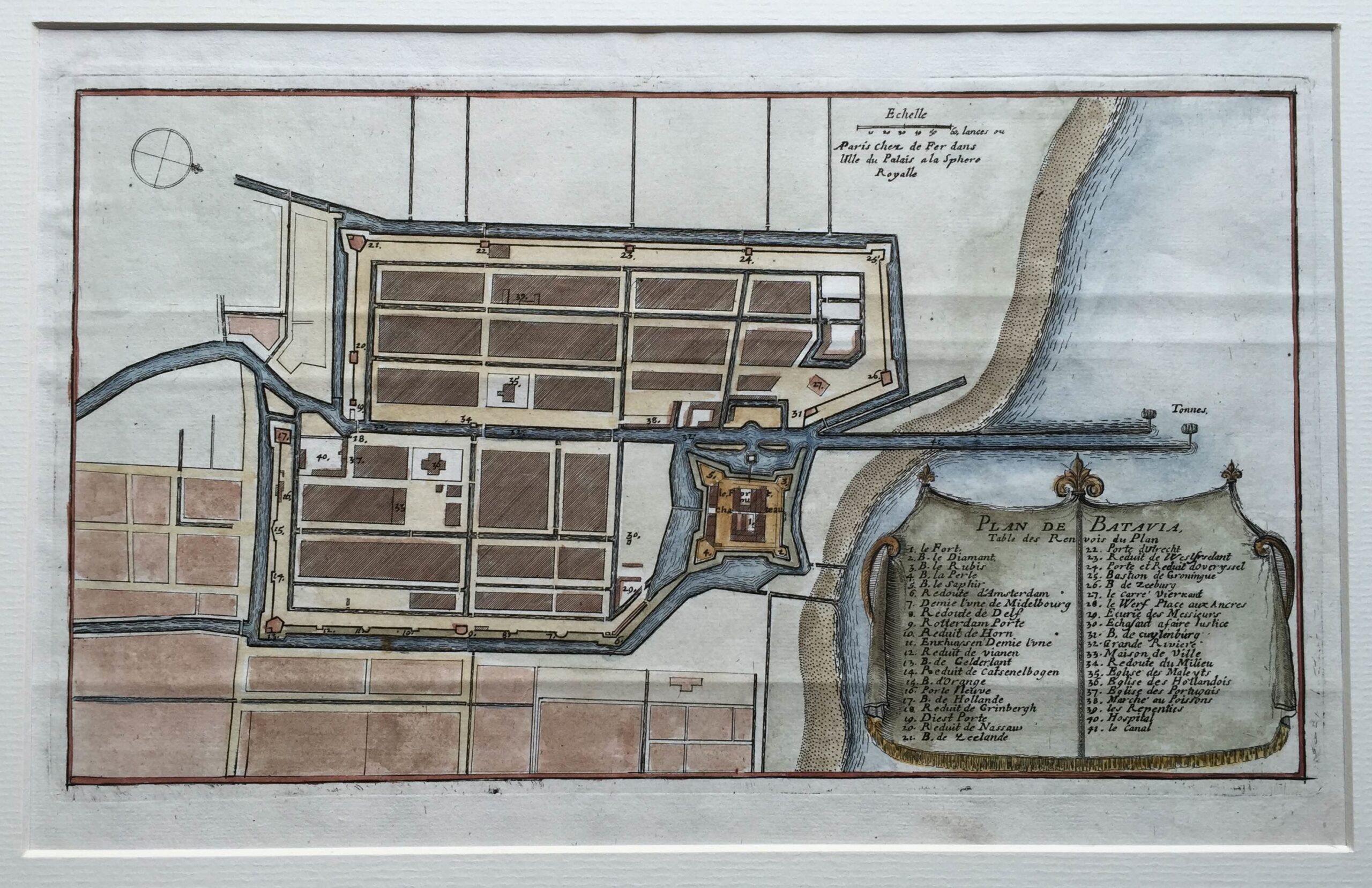
Antique Plan Batavia by De Fer (1704)
Nicolas De Fer · 1704
IDR 8,000,000
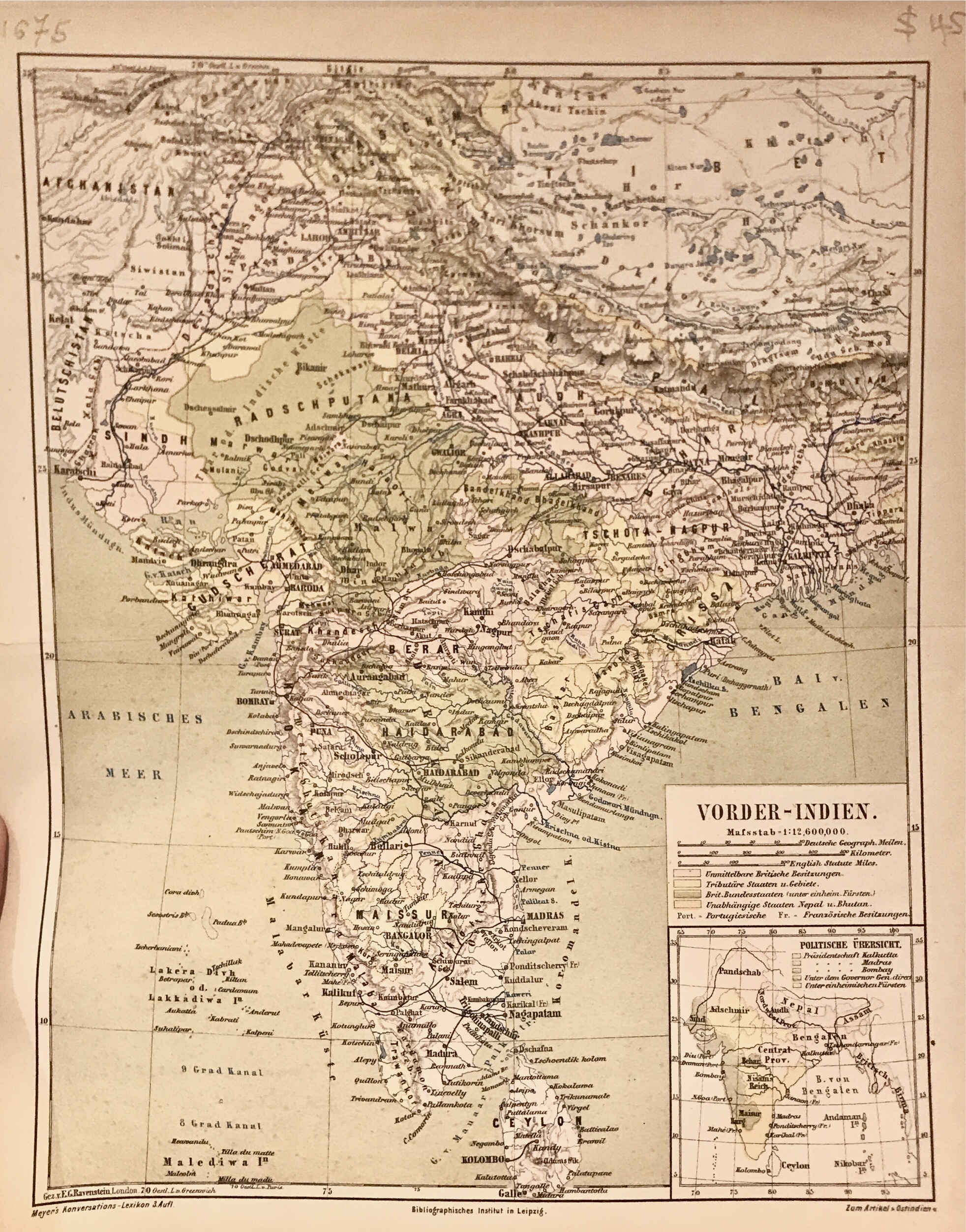
Map of India and Ceylon – Meyer (1874)
Joseph Meyer · 1874
IDR 7,850,000
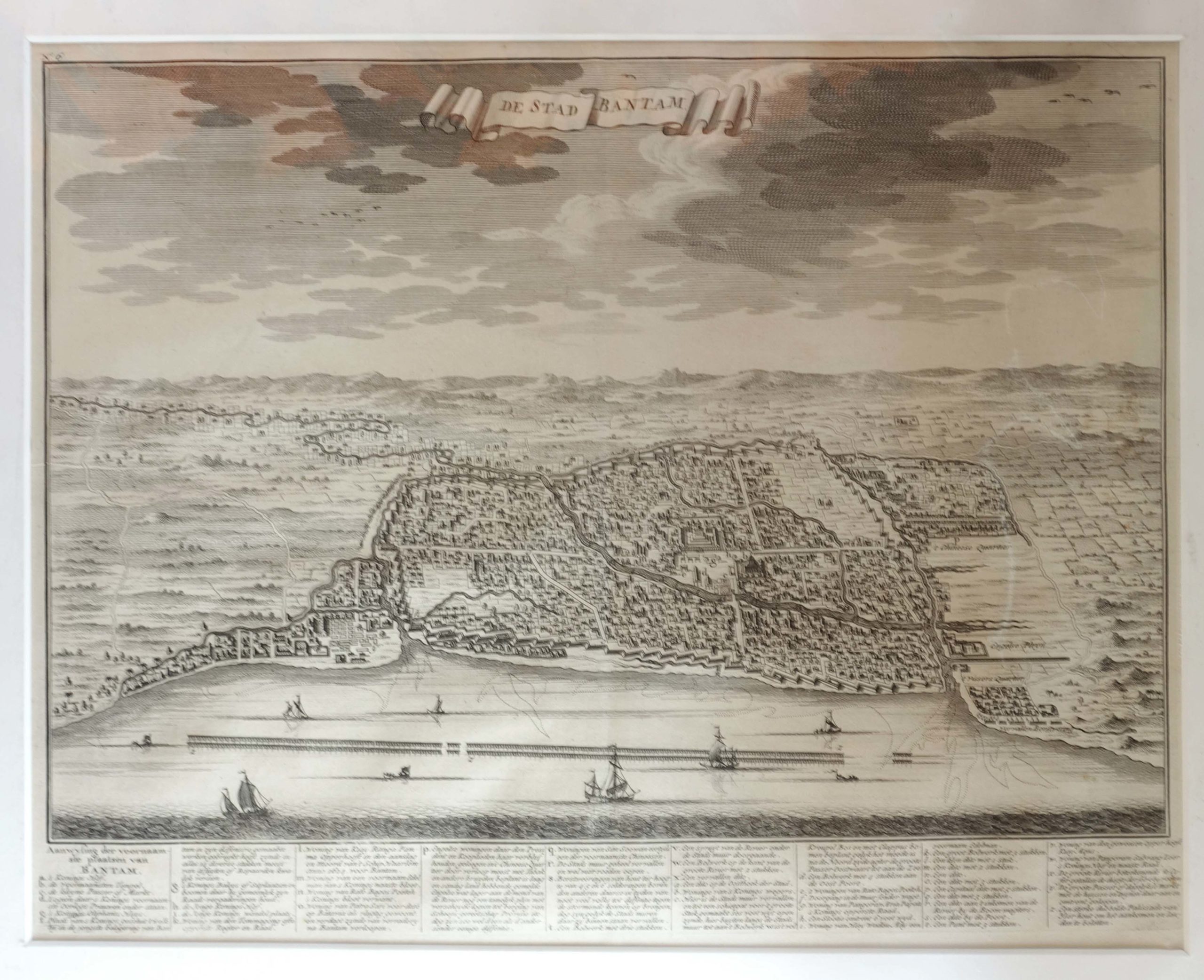
Antique Print of Bantam by Valentijn (1726)
Valentijn · 1726
IDR 6,800,000
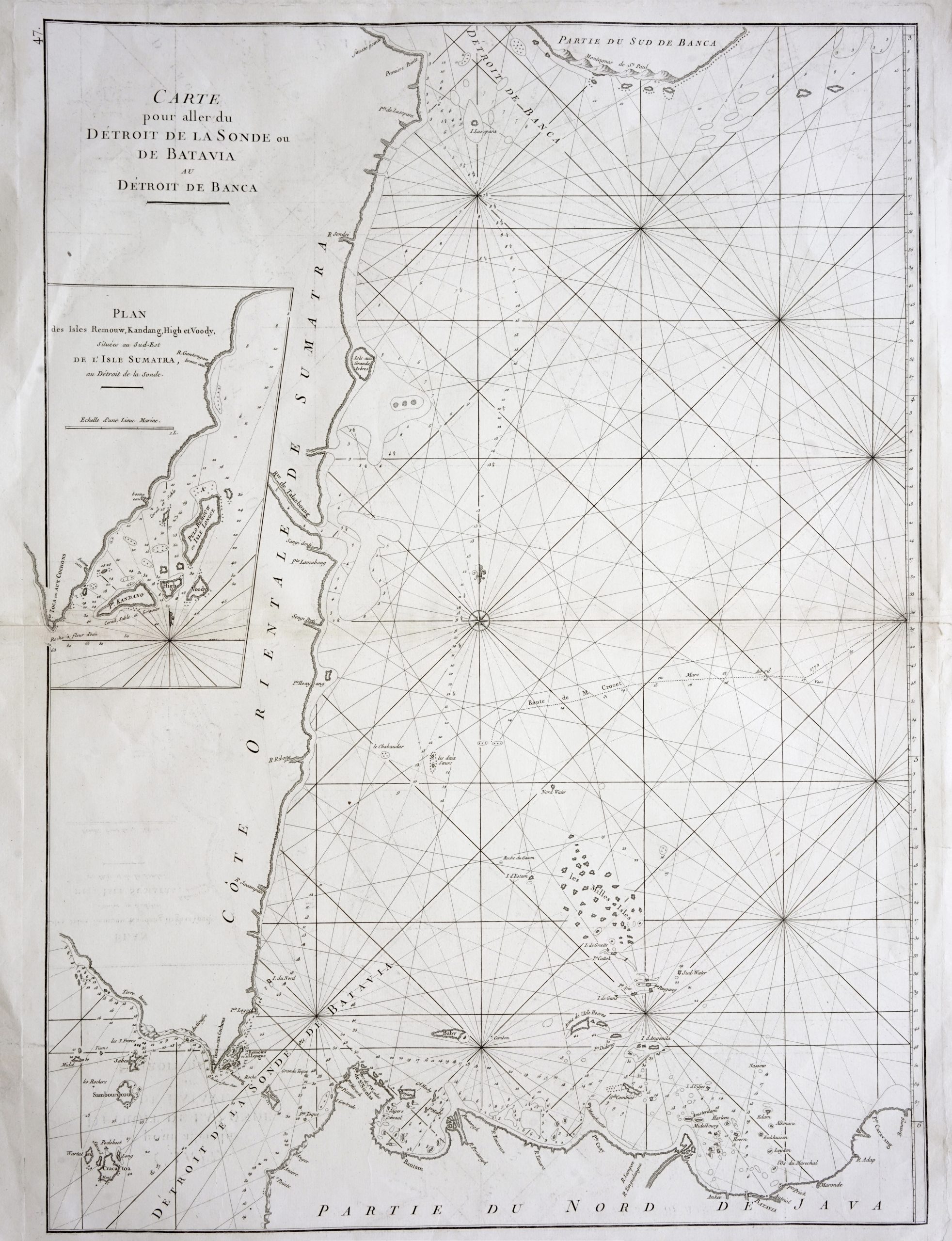
Sea Chart of northern Java and eastern Sumatra – Mannevillette (1775)
Mannevillette · 1775
IDR 6,800,000
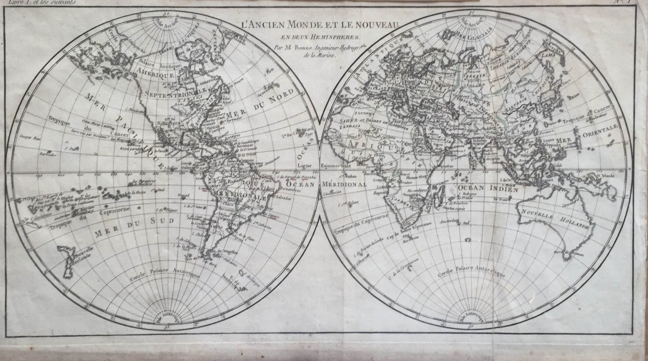
Antique World Map by R. Bonne (c.1785)
R. Bonne · 1785
IDR 6,500,000
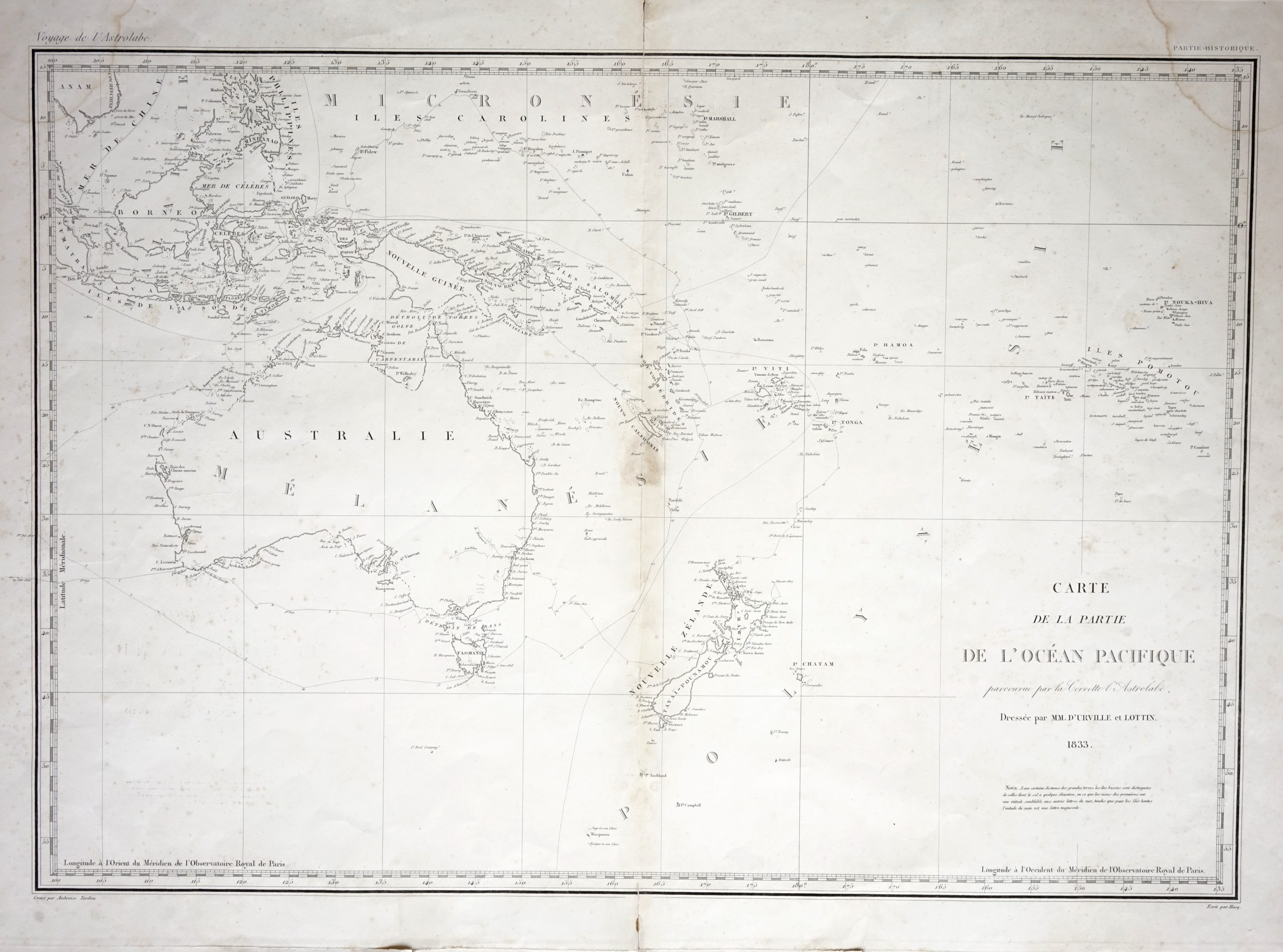
Map of Australia, New Zealand and the East Indian Islands – Tardieu (c.1833)
Ambroise Tardieu · 1833
IDR 6,000,000
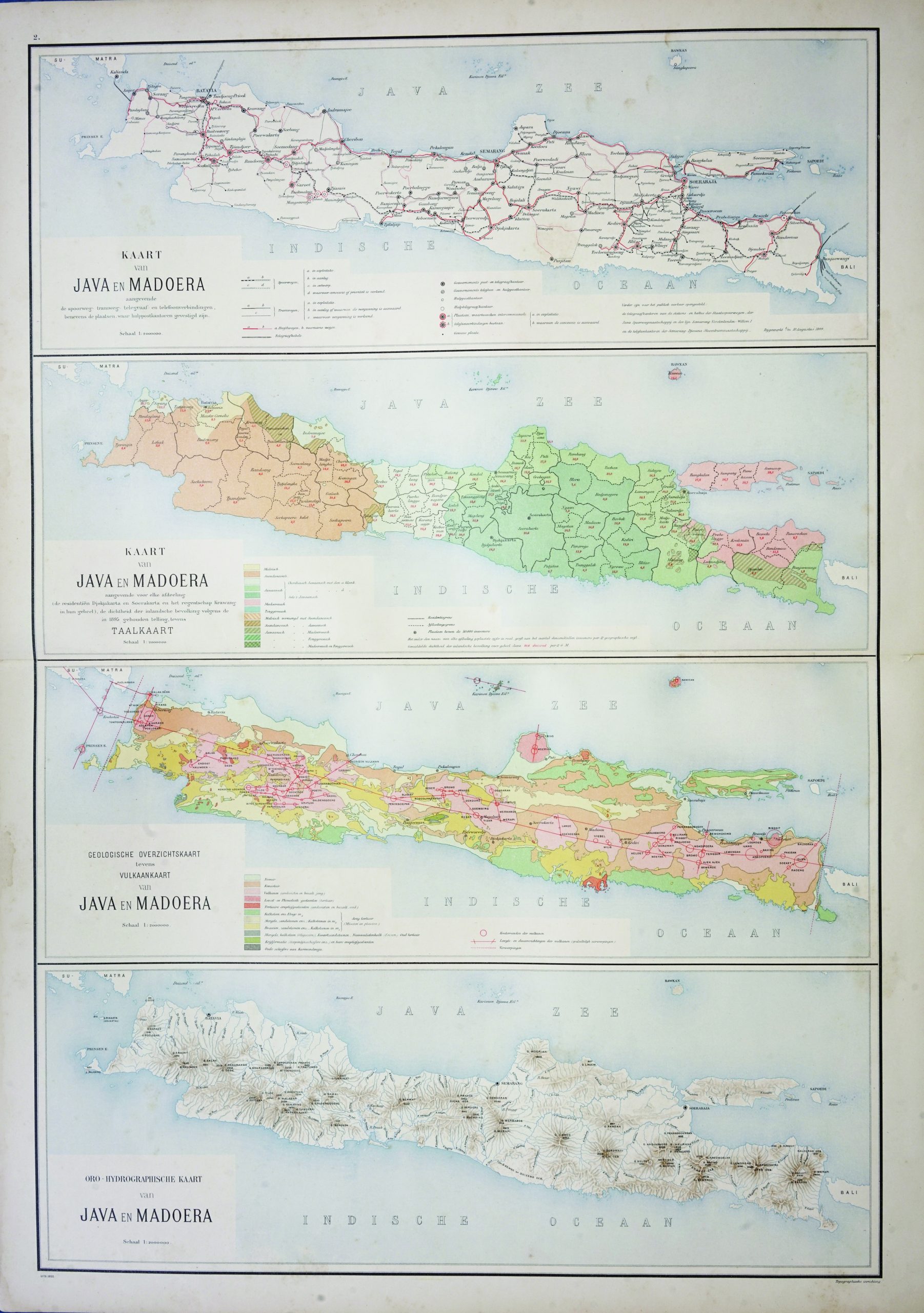
Map of Java and Madura – Stemfoort & Siethoff (c.1900)
J.W. Stemfoort/ J.J. ten Siethoff · 1900
IDR 5,900,000