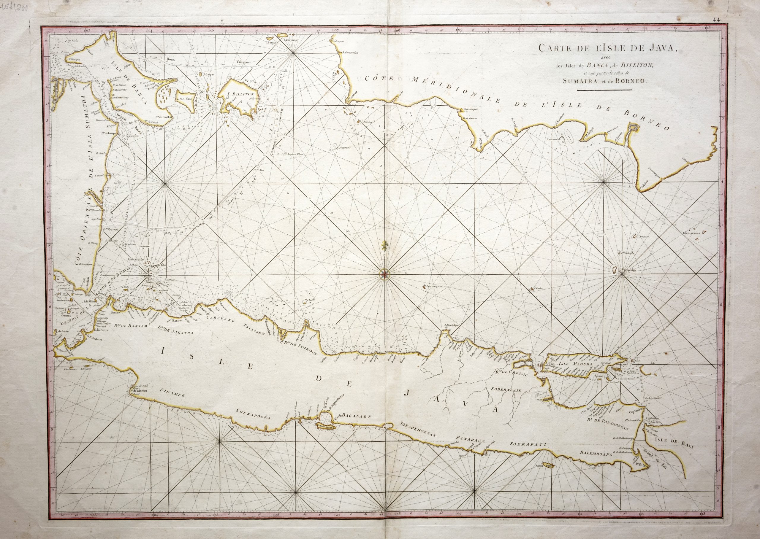
Sea Chart of Java Island – Mannevillette (c.1745)
Mannevillette · 1745
IDR 17,200,000US$ 1,200
In our Jakarta gallery
- Maker
- Mannevillette
- Date
- 1745
- Category
- Map
- Reference
- M1008
Titled “CARTE DE L’ISLE DE JAVA/avec/les isles de BANCA, de BILLITON/, et une partie de celles de/SUMATRA et de BORNEO”
An antique mid-18th century French sea chart in outline colour of Java island with south-east Sumatra, Banca Island and the south coast of Borneo by the French hydrographer Jean-Baptiste d’Apres de Mannevillette (1707-1780), a French hydrographer, navigational mathematician and nautical cartographer from Le Havre. The chart was in
Le Neptune Oriental ou routier general des cotes des Indes Orientales. .. in Paris by Jean-Francois Robustel in 1745 with later editions (Supplement au Neptune Oriental).
Very good condition; some foxing and brown water stains along the upper margin.
Measurements 820 x 554 mm
- An original antique sheet, not a reproduction
- The actual piece is photographed
- Certificate of authenticity on request
- Viewing in Jakarta by appointment