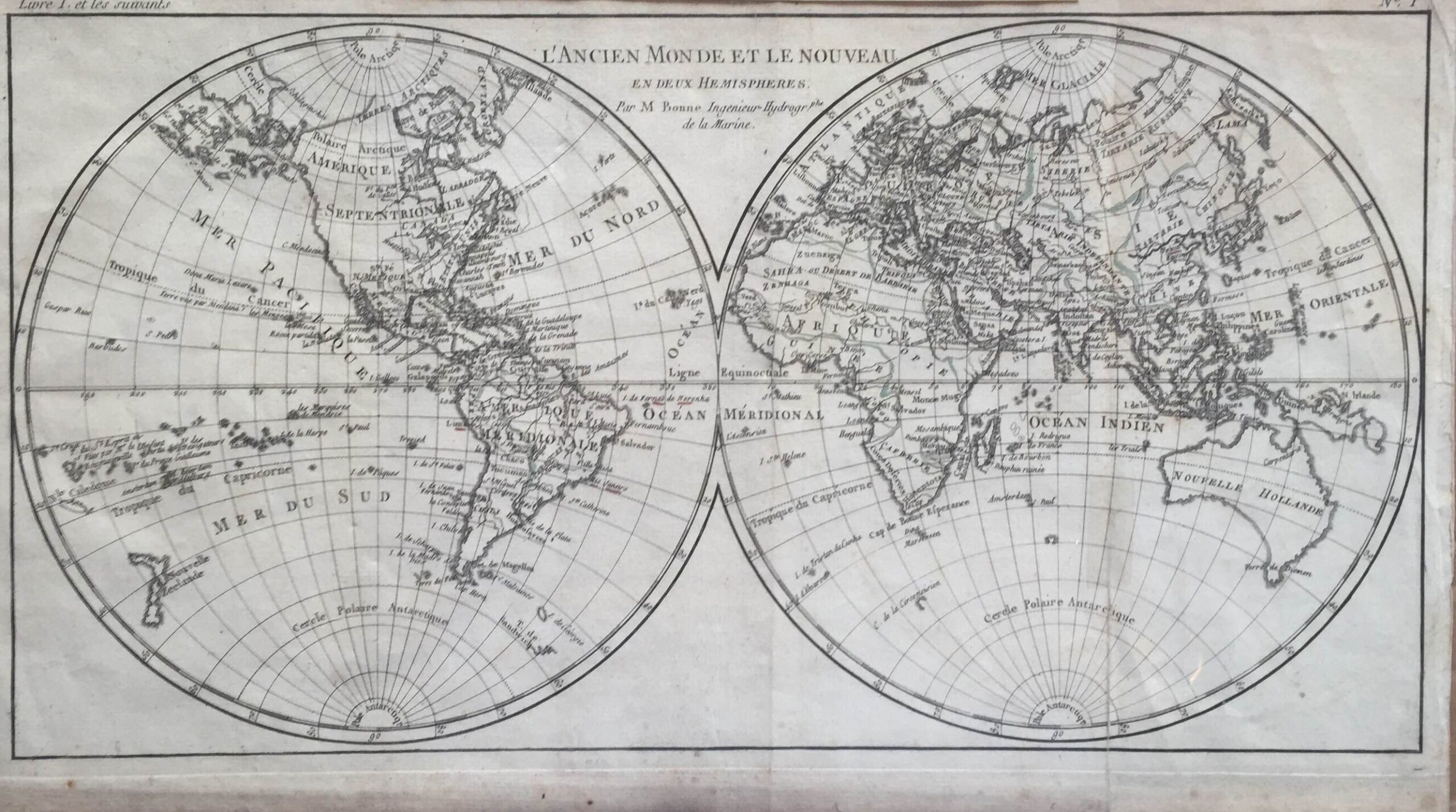
Antique World Map by R. Bonne (c.1785)
- Maker
- R. Bonne
- Date
- 1785
- Category
- Map
- Reference
- M0965
Antique World Map by R. Bonne titled ‘L’Ancien monde et le Nouveau/en deux Hemispherers’. Beautiful late 18th century black and white hemisphere map illustrating the ‘old world and the new world’. This map offers a great number of details corresponding to the knowledge of the world at the time. This map most likely originates from ‘Atlas Portatif’ by Jean Lattré, c.1785.
Rigobert Bonne (1727-1794) was an influential French cartographer of the late-eighteenth century. Born in the Lorraine region of France, Bonne came to Paris to study and practice cartography. He was a skilled cartographer and hydrographer and succeeded Jacques Nicolas Bellin as Royal Hydrographer at the Depot de la Marine in 1773. He published many charts for the Depot, including some of those for the
Atlas Maritime of 1762. In addition to his work at the Depot, he is best known for his work on the maps of the
Atlas Encyclopedique (1788) which he did with Nicholas Desmarest. He also made the maps for the Abbe Raynals’ famous
Atlas de Toutes Les Parties Connues du Globe Terrestre (1780).
Artist: R. Bonne
Year: c.1785
- An original antique sheet, not a reproduction
- The actual piece is photographed
- Certificate of authenticity on request
- Viewing in Jakarta by appointment