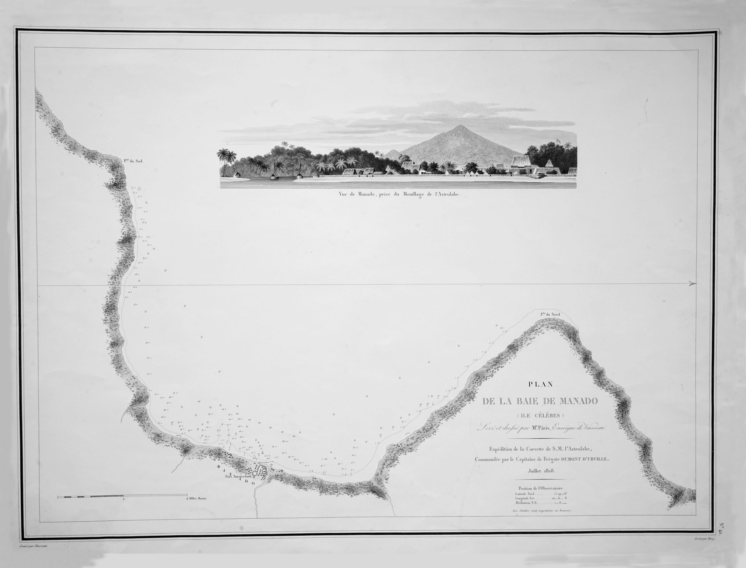
Map of Manado Bay – Dumont d’Urville (c.1828)
Dumont D'Urville · 1828
IDR 9,000,000
In our Jakarta gallery
- Maker
- Dumont D'Urville
- Date
- 1828
- Category
- Map
- Reference
- M0133
An original colour black an white map charts of the bay in Manado, Northern Sulawesi or former Celebes with an inset of the view. This map was based and recognized by the expedition of Frégate
Jules-Sébastien-César Dumont d’Urville , (1790-1842), French navigator who commanded voyages of exploration to the South Pacific (1826–29) and the Antarctic (1837–40), resulting in extensive revisions of existing charts and discovery or re-designation of island groups. And lifted and drafted by Mr. Paris, ensign, expedition of the corvette of S. M. the Astrolabe, July 1828, as noted on the map.
Very good condition; brown foxing on the margin
Measures 651 x 492 mm
- An original antique sheet, not a reproduction
- The actual piece is photographed
- Certificate of authenticity on request
- Viewing in Jakarta by appointment