Hotel Indonesia Kempinski
The Jakarta Collection
Held in our gallery at Hotel Indonesia Kempinski: maps, prints and books of the Dutch East Indies and Southeast Asia. Enquire and we will arrange a viewing in Jakarta.
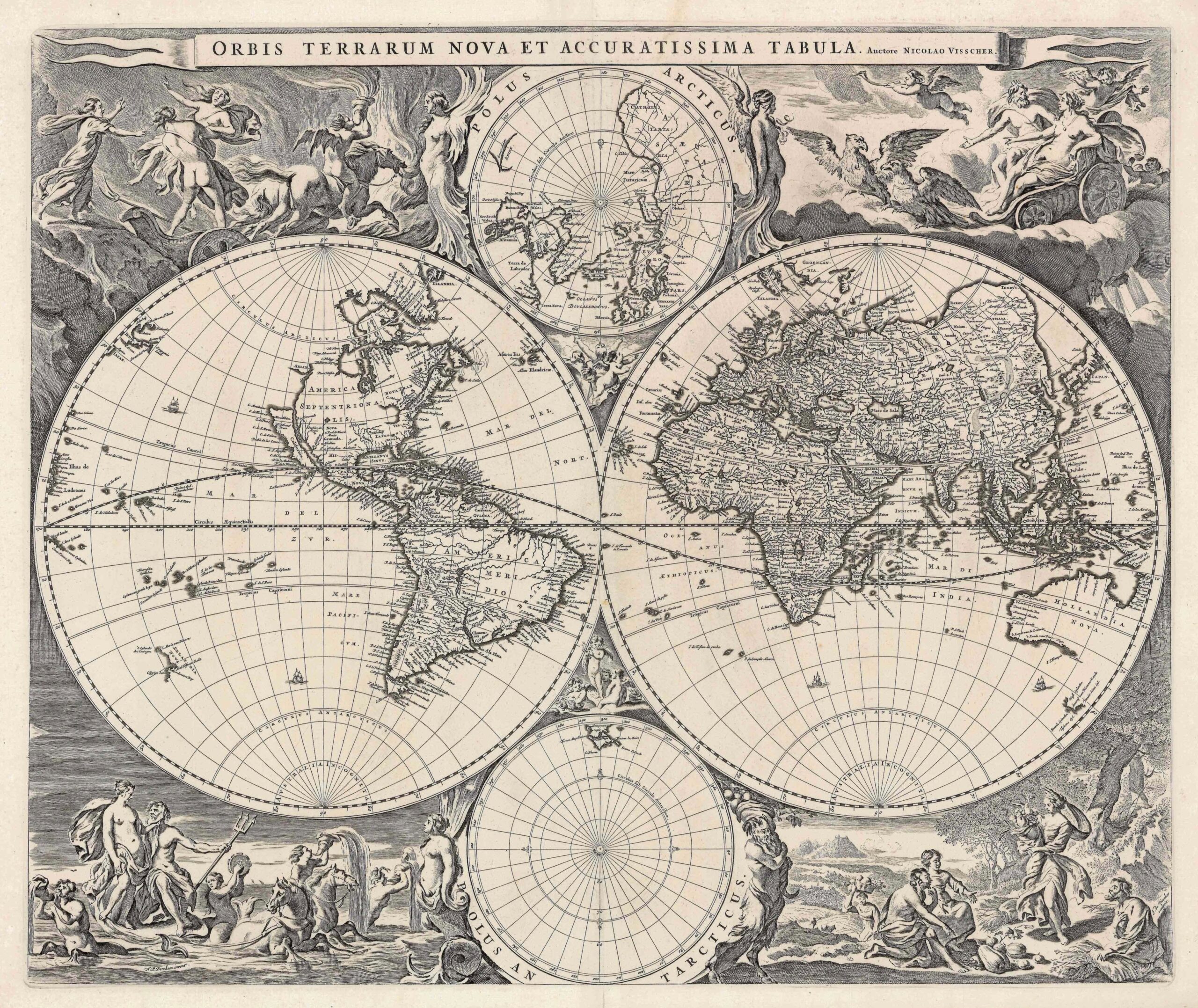
Antique World Map by N. Visscher (c.1658)
Nicolaas Visscher · 1685
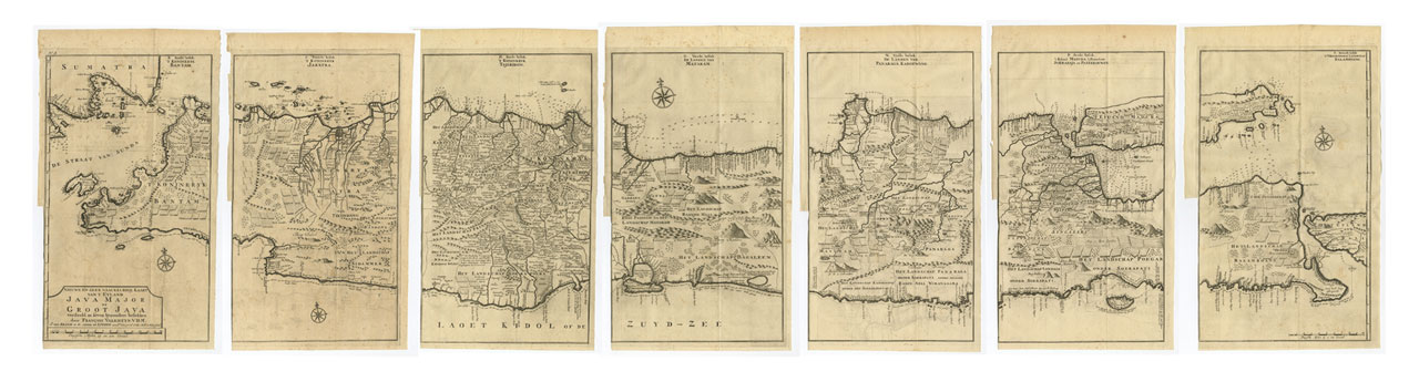
Antique Map Java in 7 Sheets by Valentijn (c.1724)
Valentijn · 1724
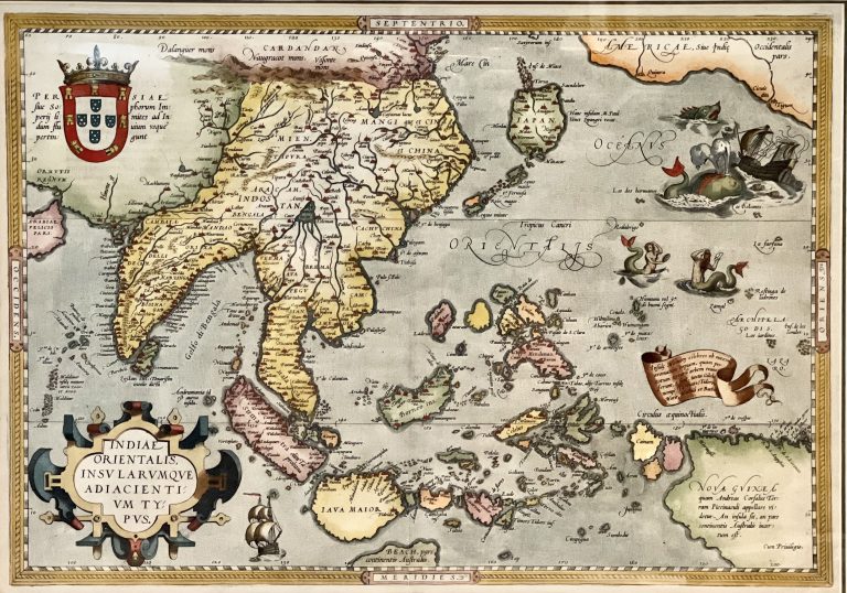
Antique Map South-East Asia by Ortelius (c. 1595)
Ortelius · 1571
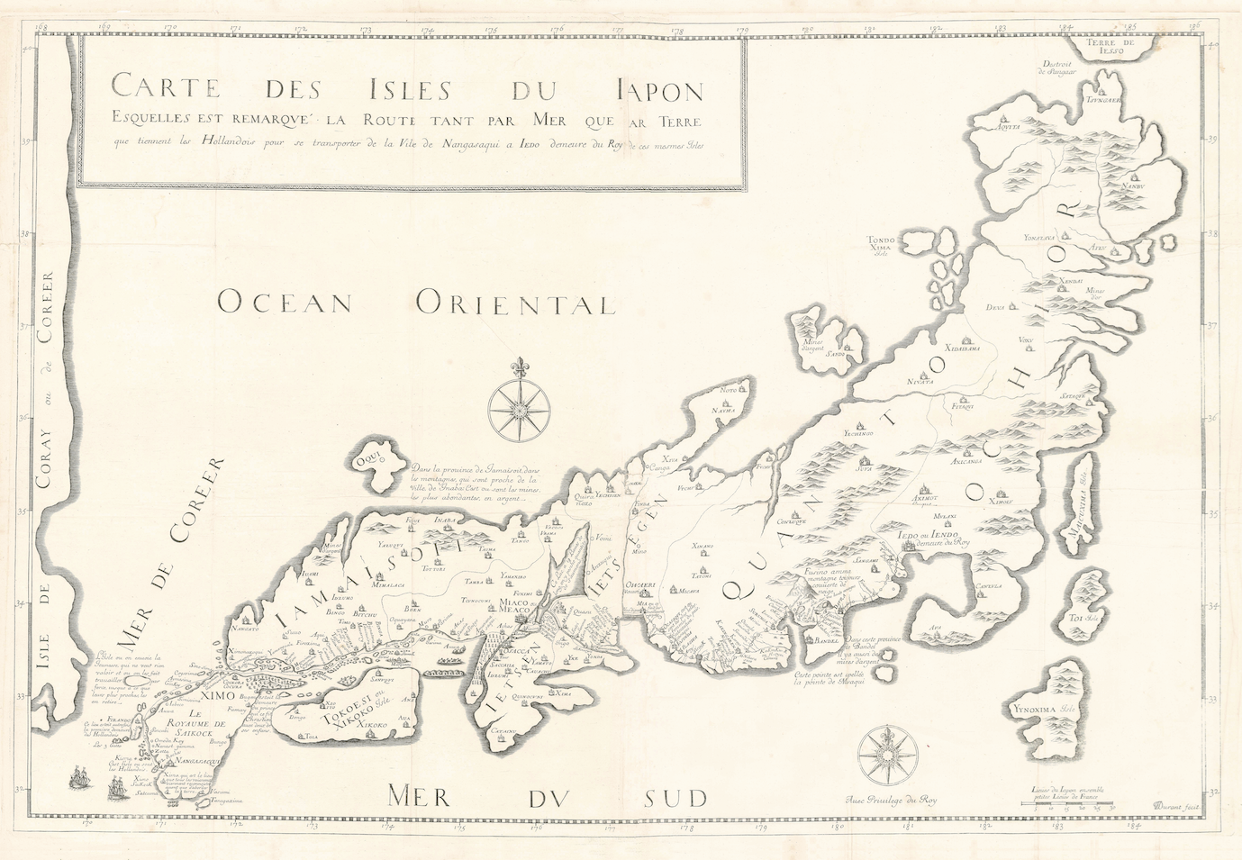
Antique Map Japan by J.L. Durant (1679)
Jean-Louis Durant · 1676
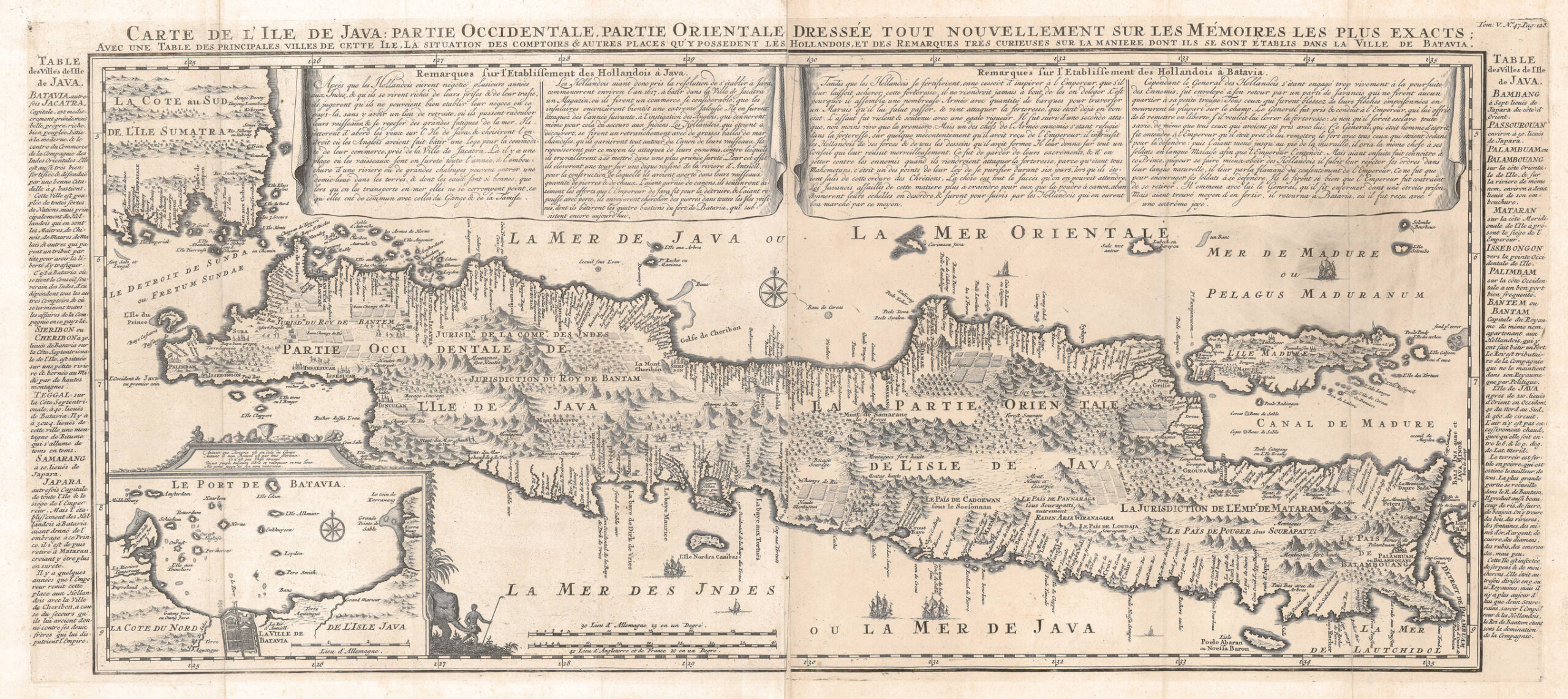
Antique Map Java by Chatelain (1705)
Chatelain · 1719
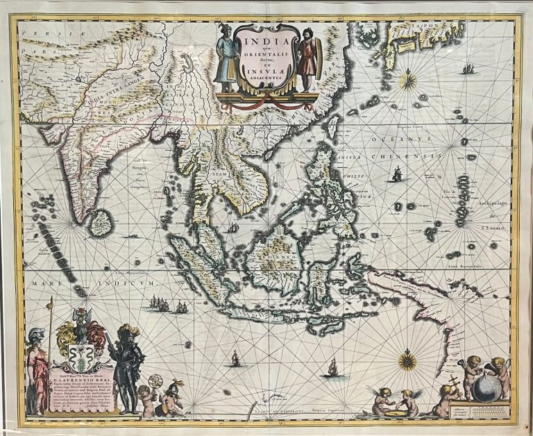
Antique Map of South-East Asia by Blaeu (c.1640)
William Blaeu · 1640-1645
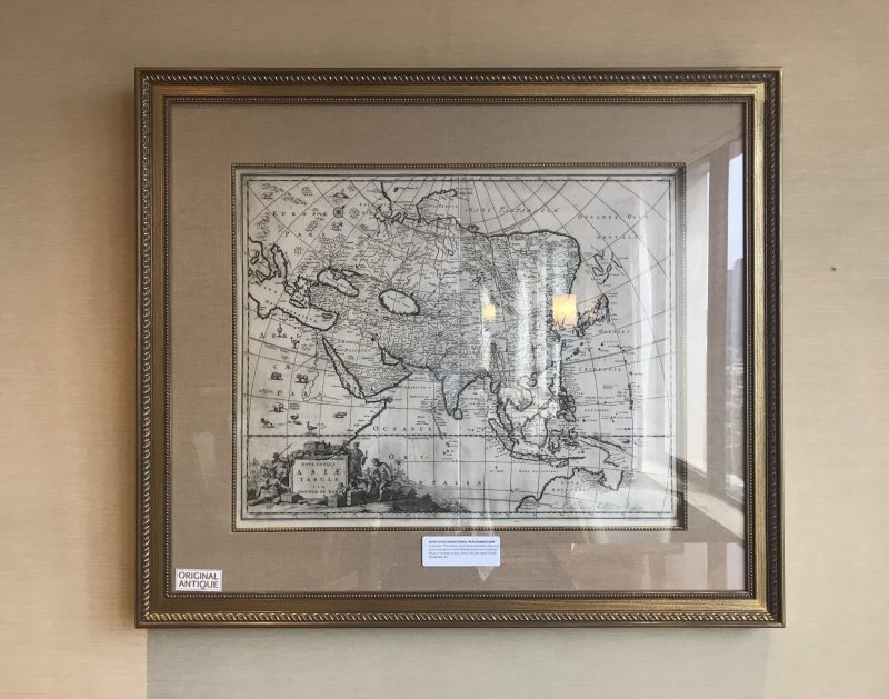
Antique Map of Asia – Johannes de Ram (c.1689)
Johannes de Ram · 1689
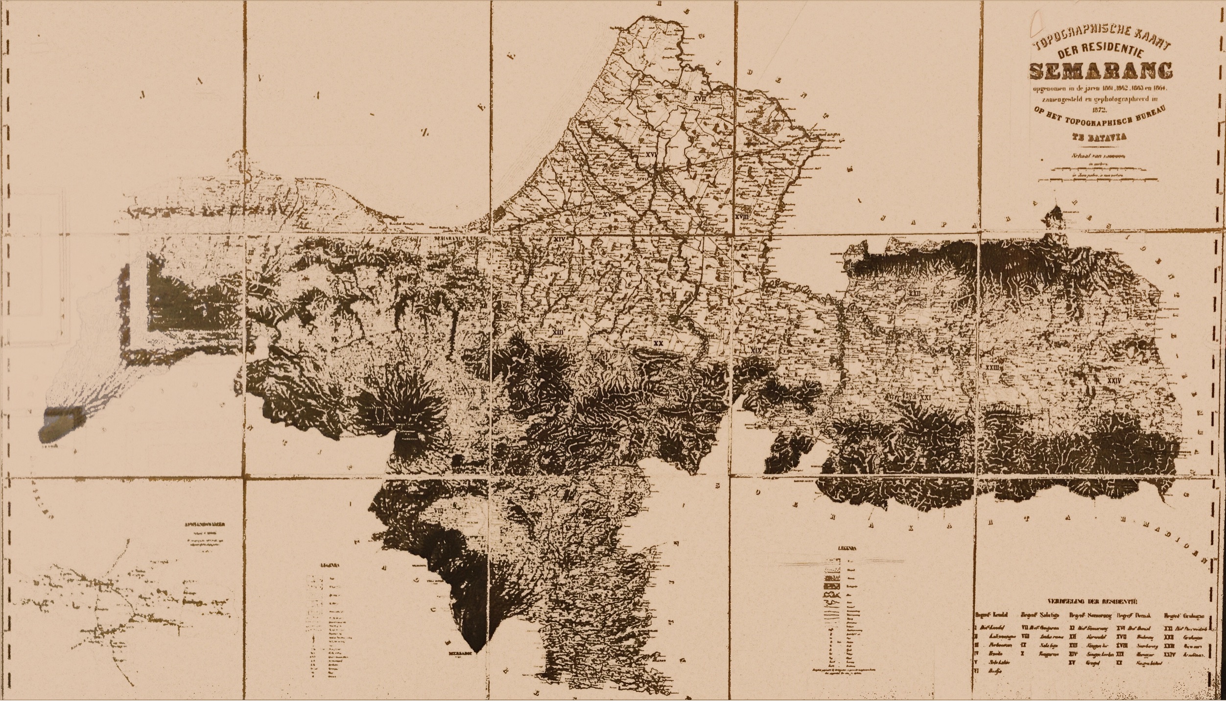
Topography Map of Semarang – Batavia Bureau (c.1872)
W.Beijerinck · 1872
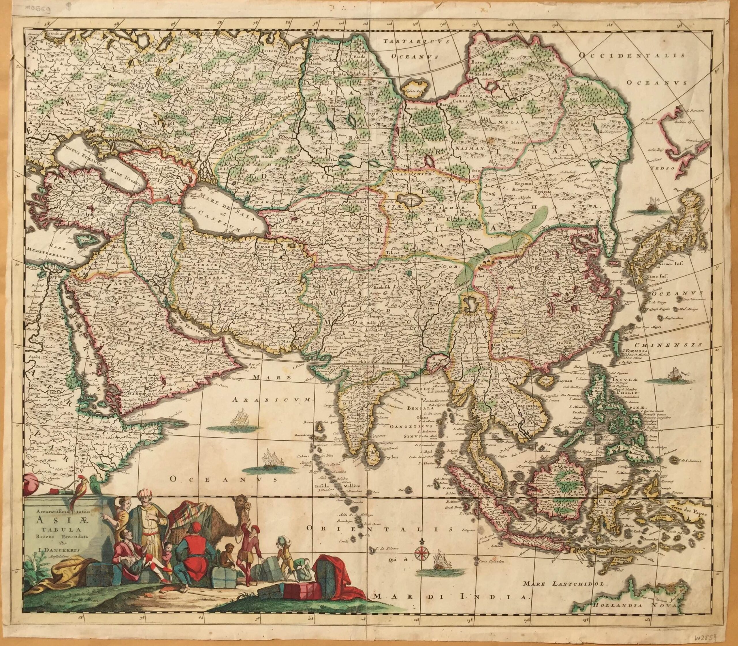
Antique Map of Asia by Danckerts (1680)
Justus Danckerts · 1680
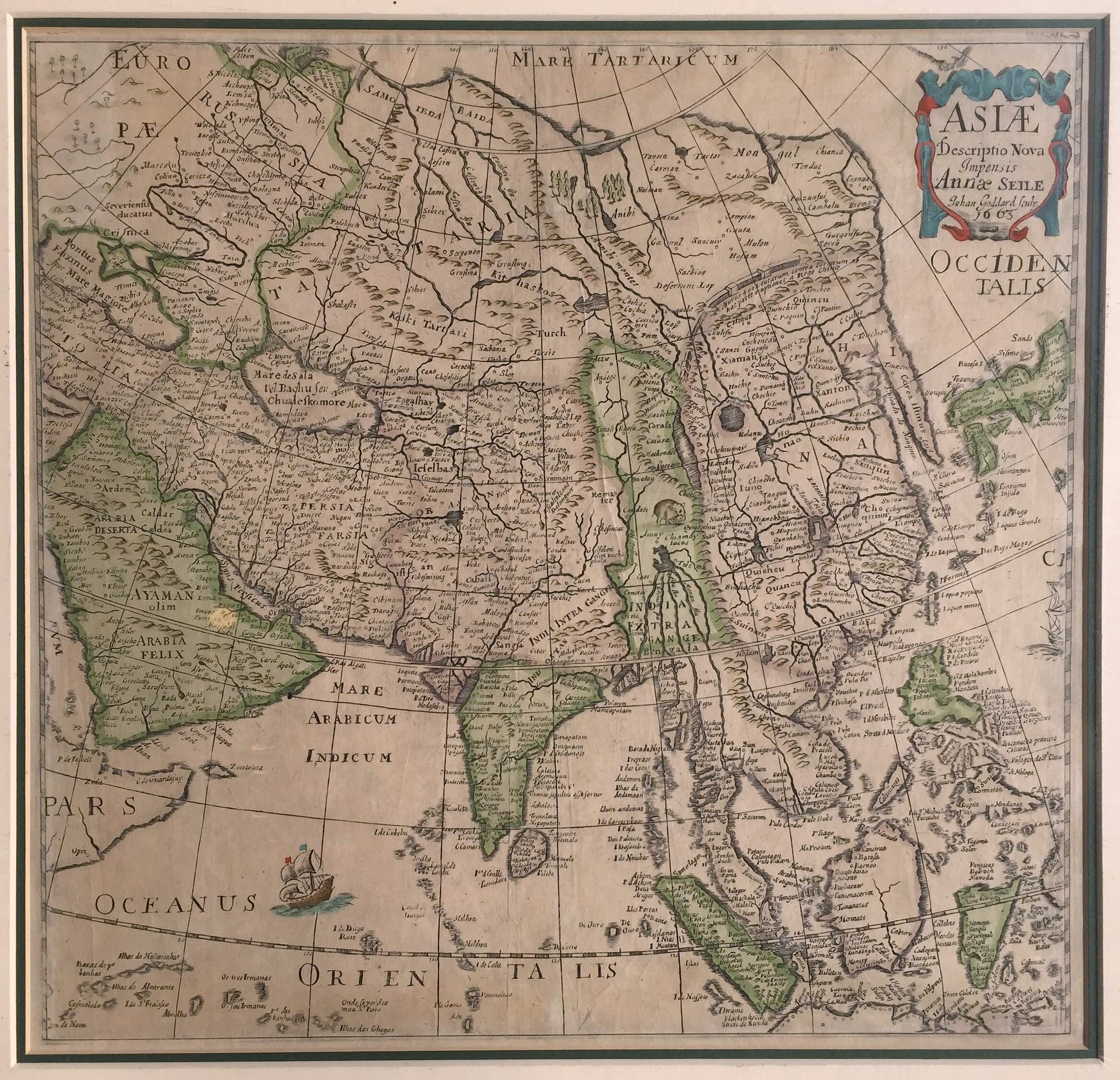
Antique Map of Asia by Goddard (c.1663)
John Goddard
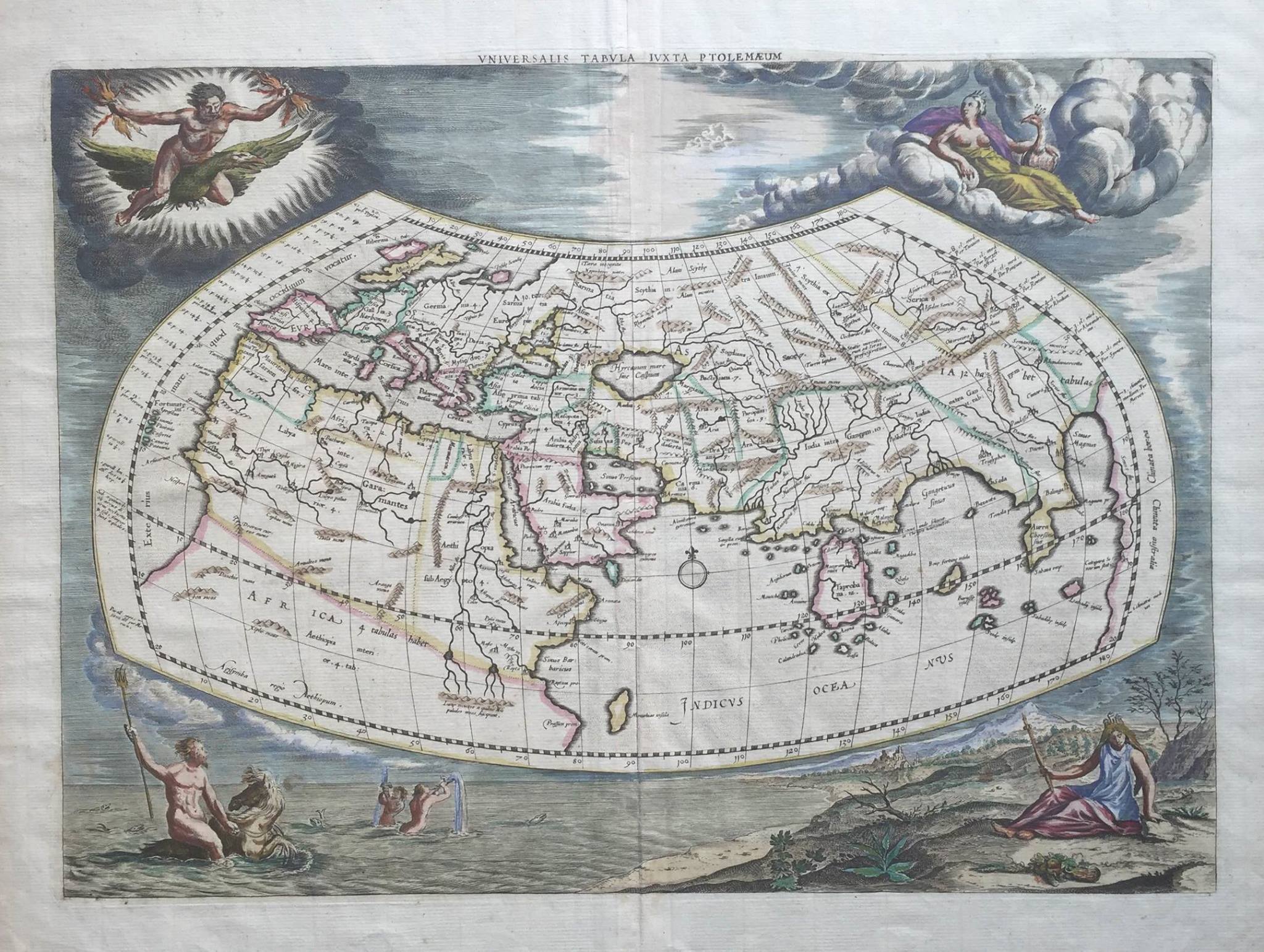
Antique Map Ancient World by Ptolemy (1730)
G. Mercator · 1730
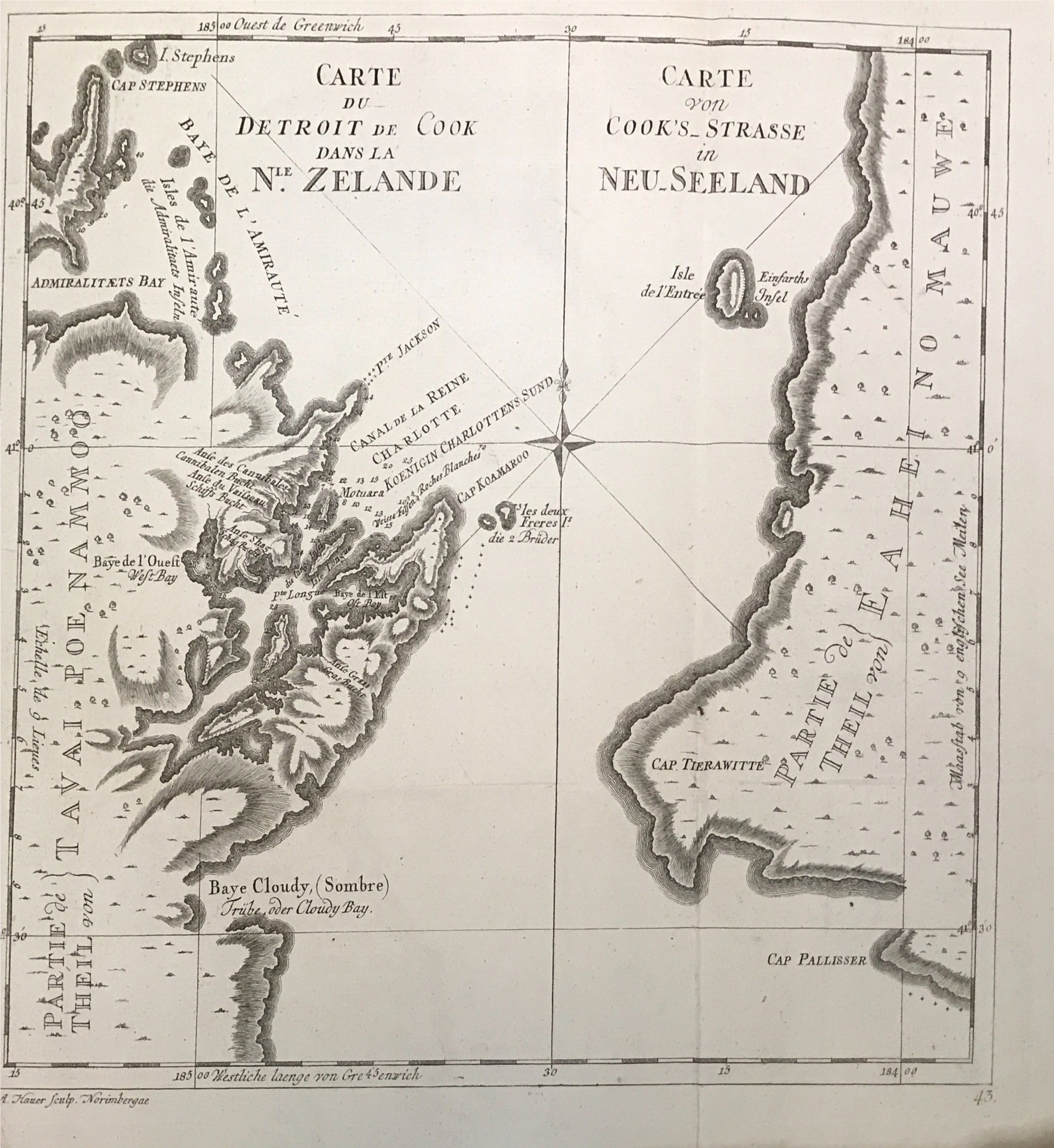
New Zealand map by Captain James Cook (1774)
James Cook/Benard · 1774
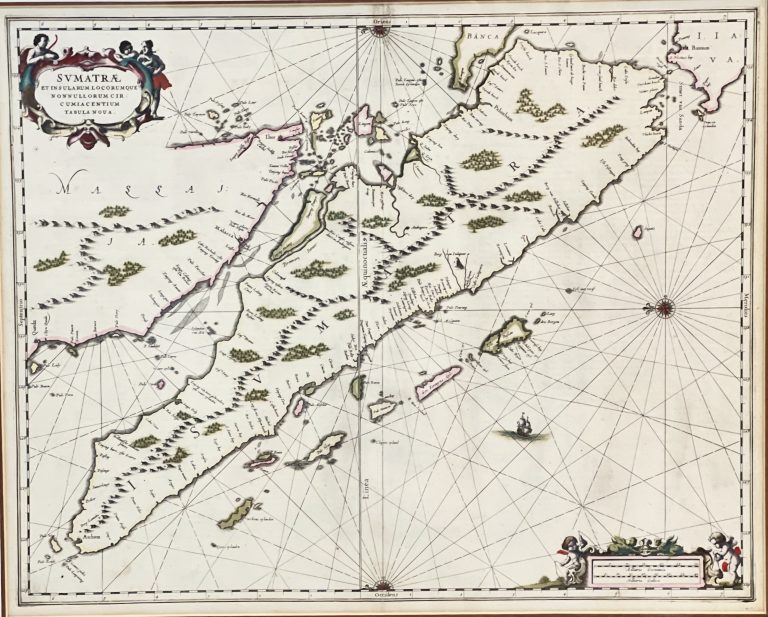
Sumatrae et Insularum – Janssonius (1657)
Jan jansson · c.1657
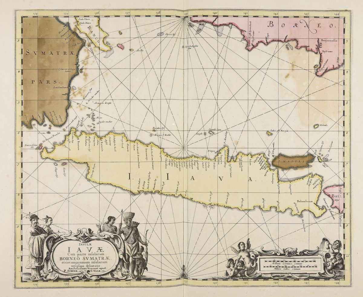
Map of Java island – Janssonius (1657)
Jan jansson · 1657
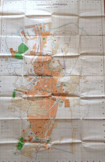
Gemeente Soerabaja – Van Ingen (1940)
Van Ingen · 1940
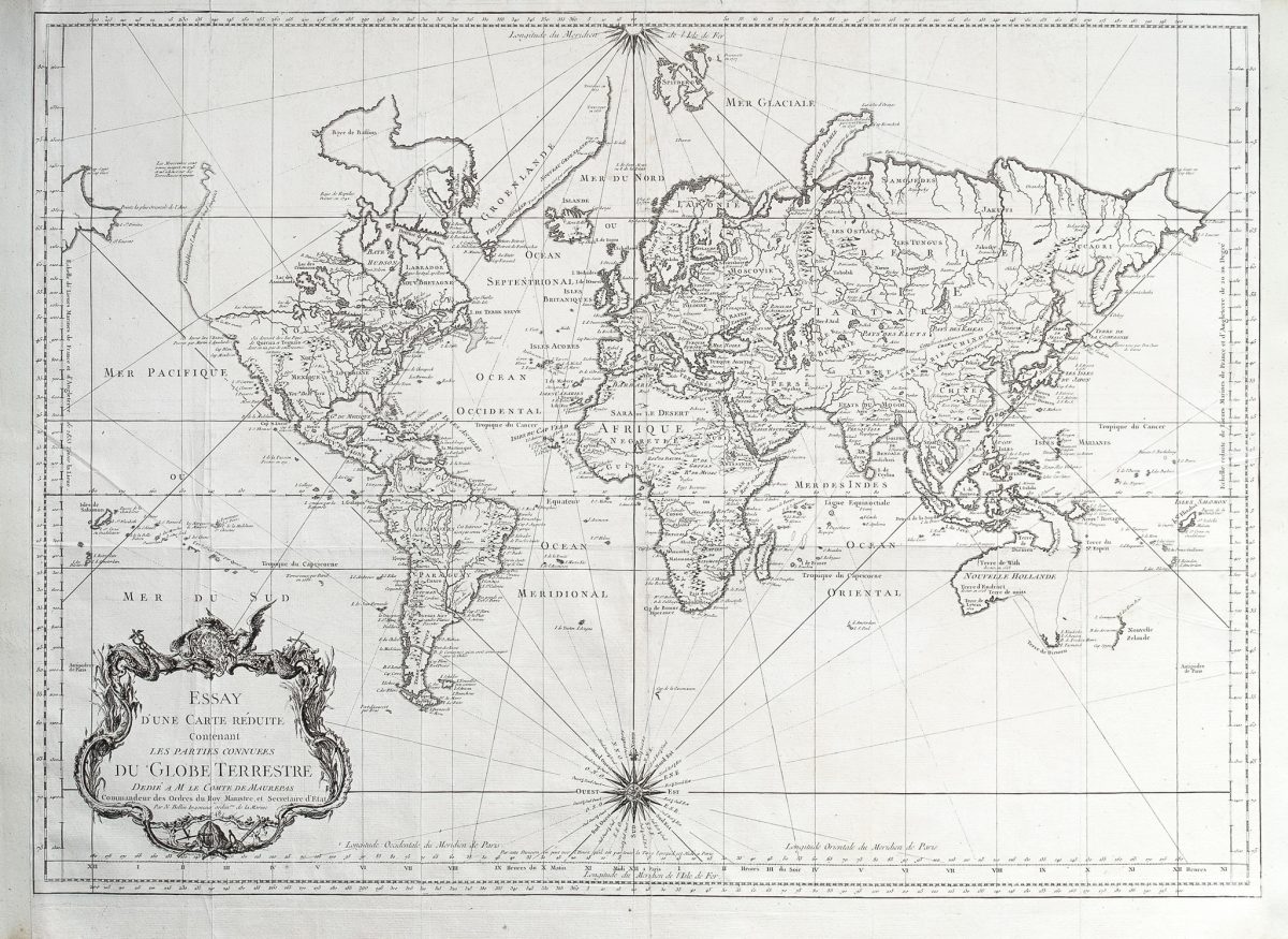
Map of the World – Bellin (1748)
J.N. Bellin · 1748
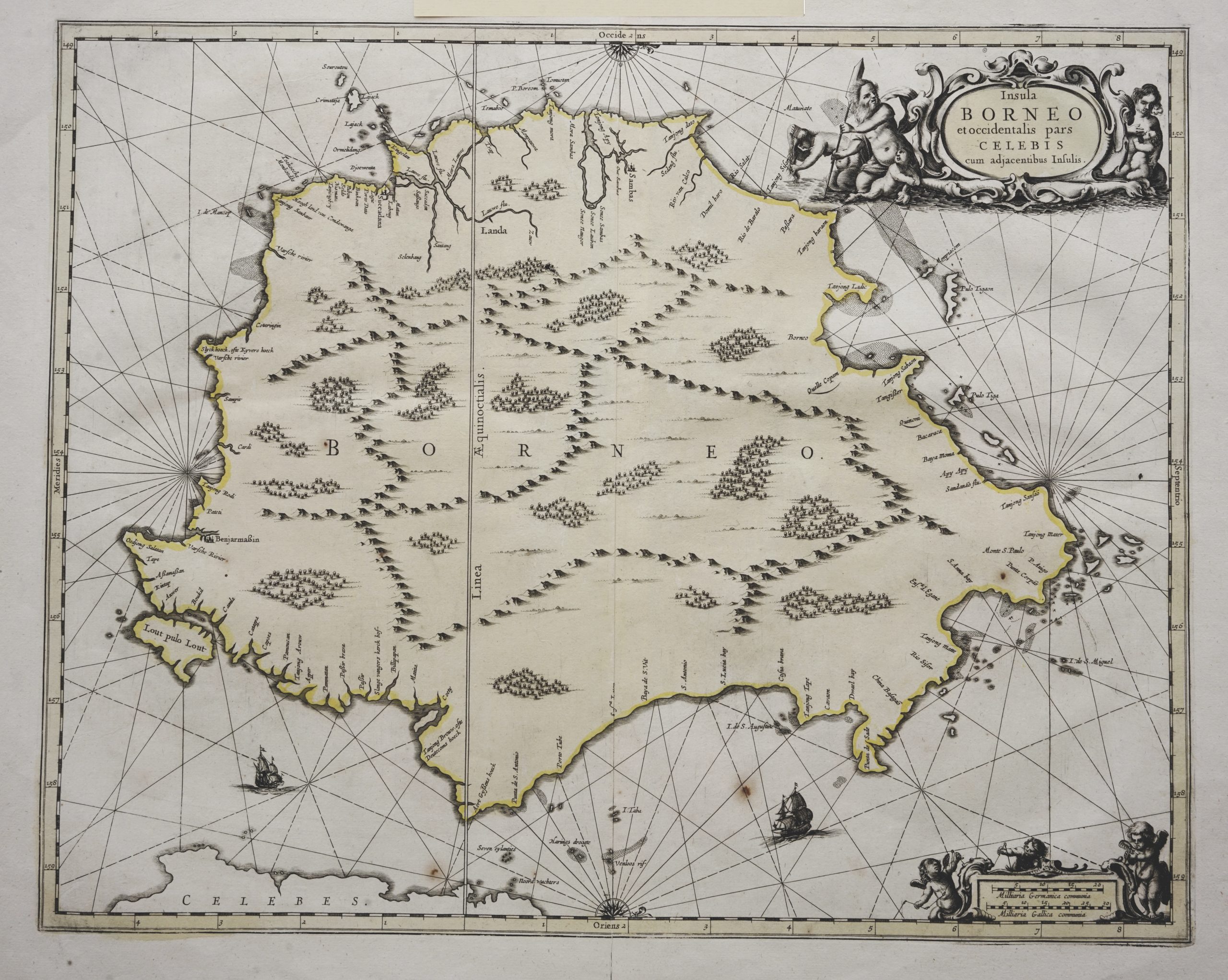
Sea Chart of Borneo – Janssonius (c.1657)
Janssonius · 1657
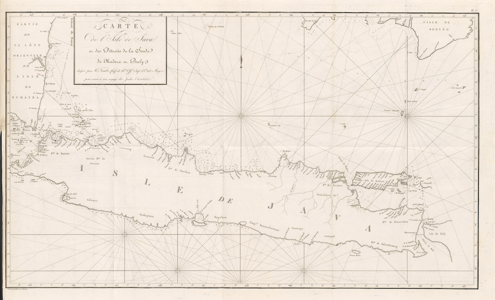
Antique Map Java by Tombe (1811)
Tombe - Charles Francois · 1811
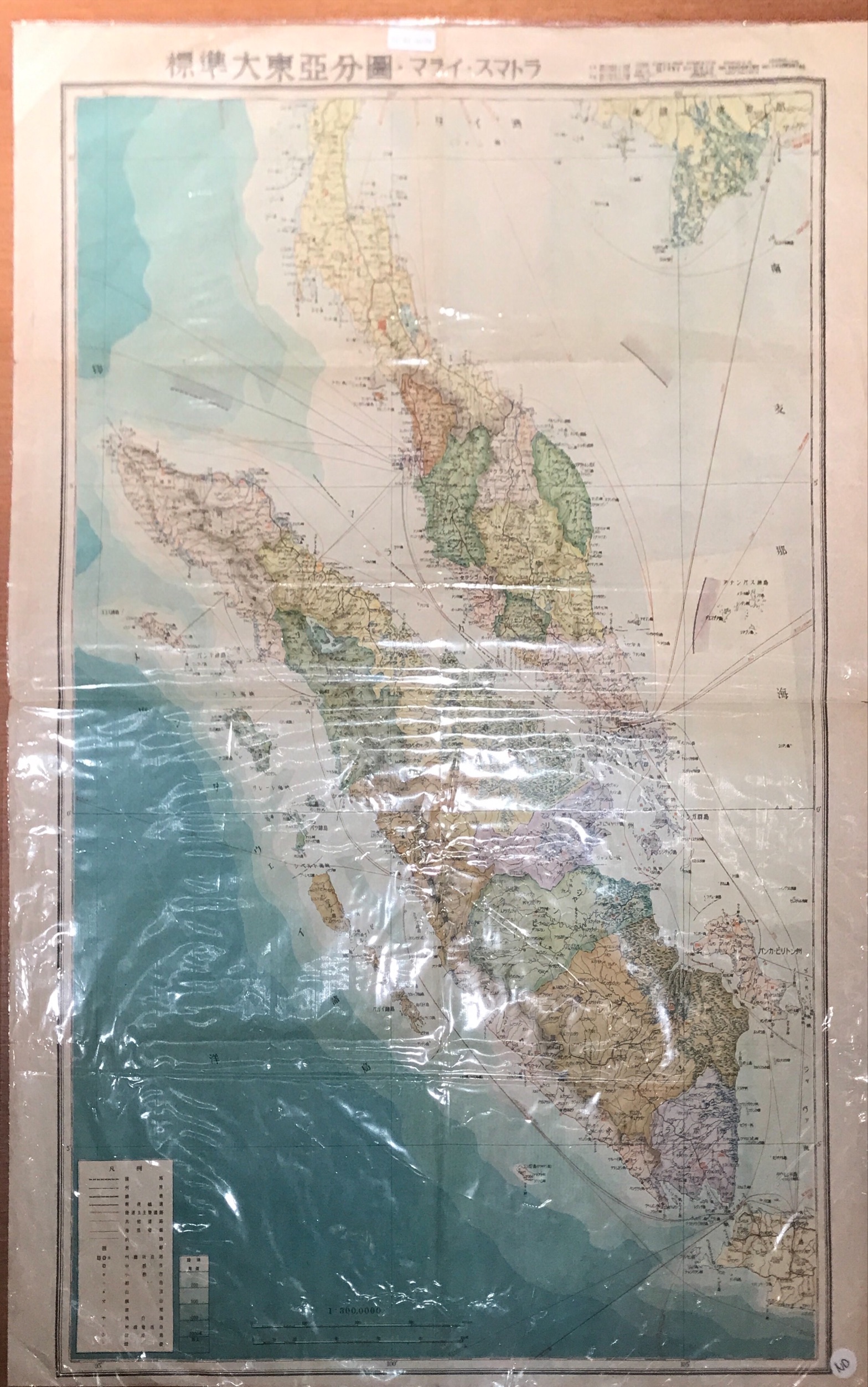
Sumatra and Malaya in the Japanese possessions – 1942
Unknown Publisher · 1943-1945
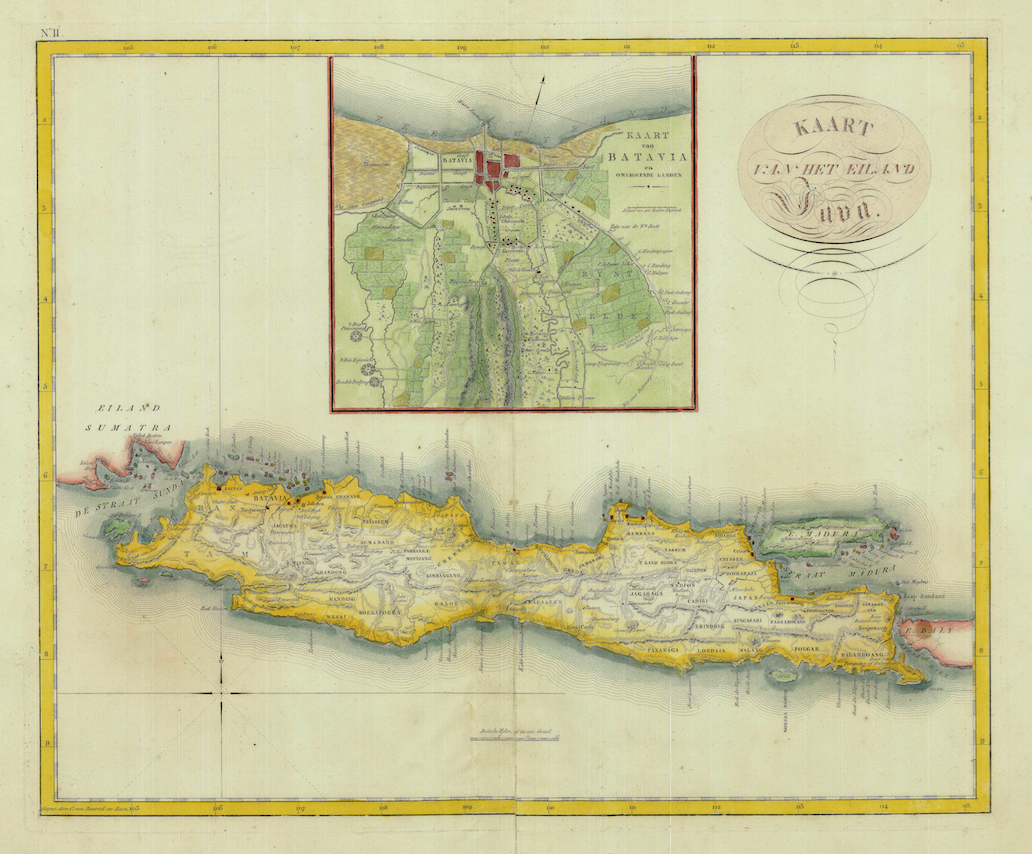
Antique Map Java by Van den Bosch (1818)
van den Bosch · 1818
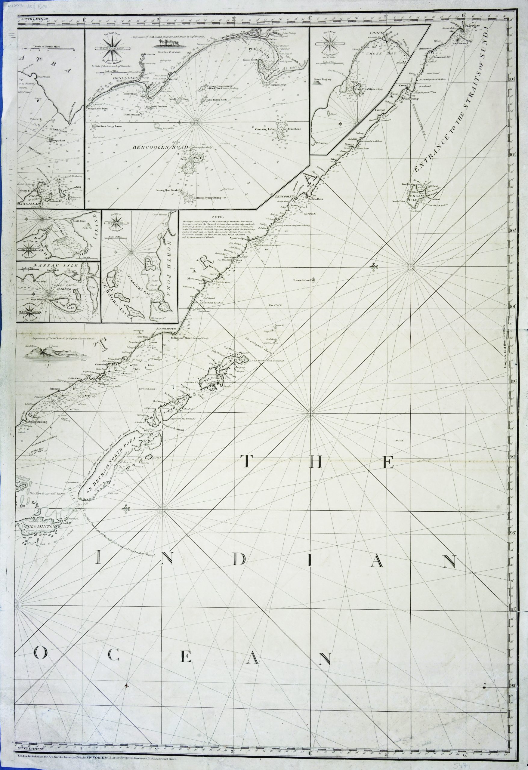
Left-sheet Chart of the Indian Ocean – Norie (c.1832)
J.W Norie · 1832
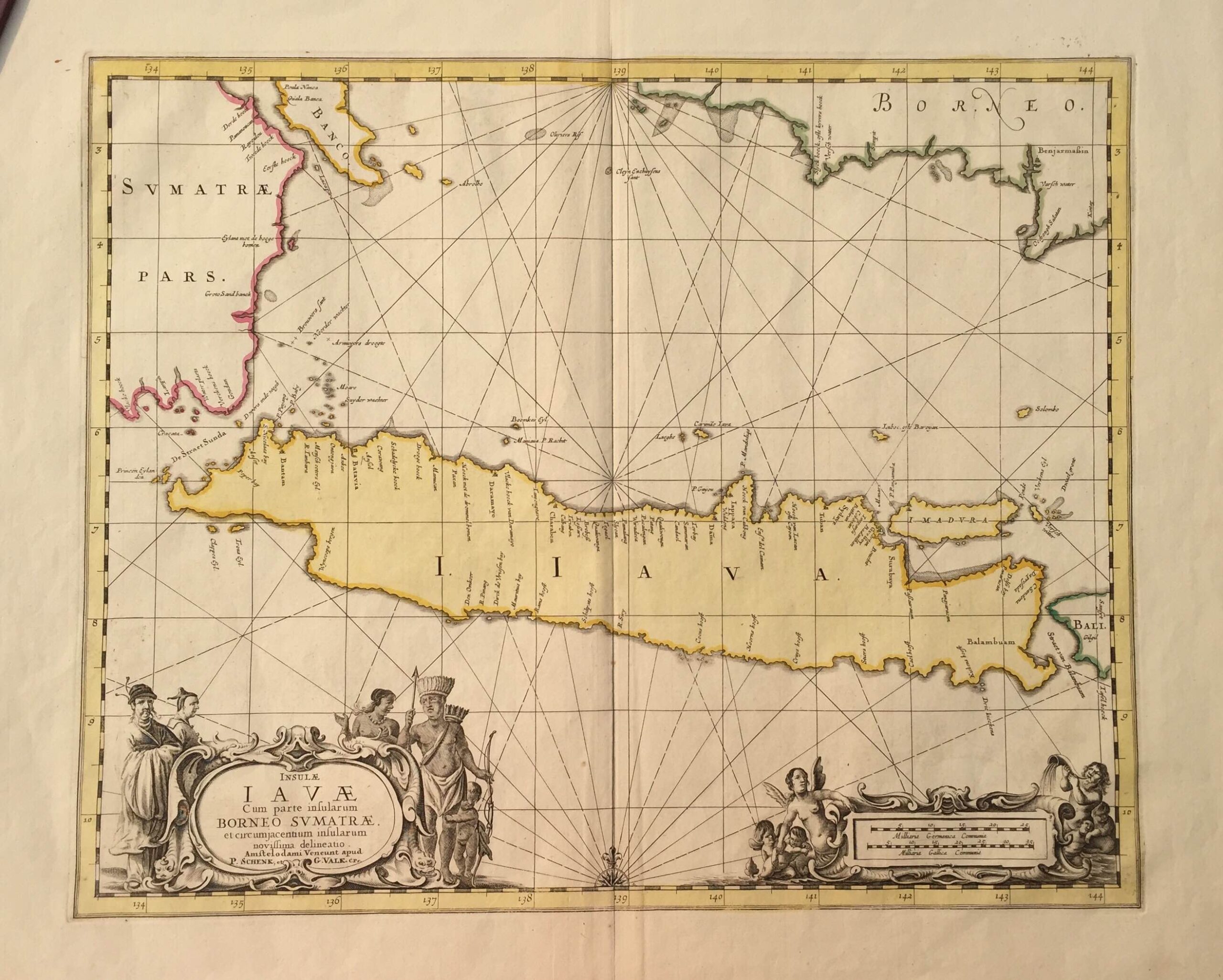
Antique Map Java by Janssonius (c.1657)
Janssonius · 1657
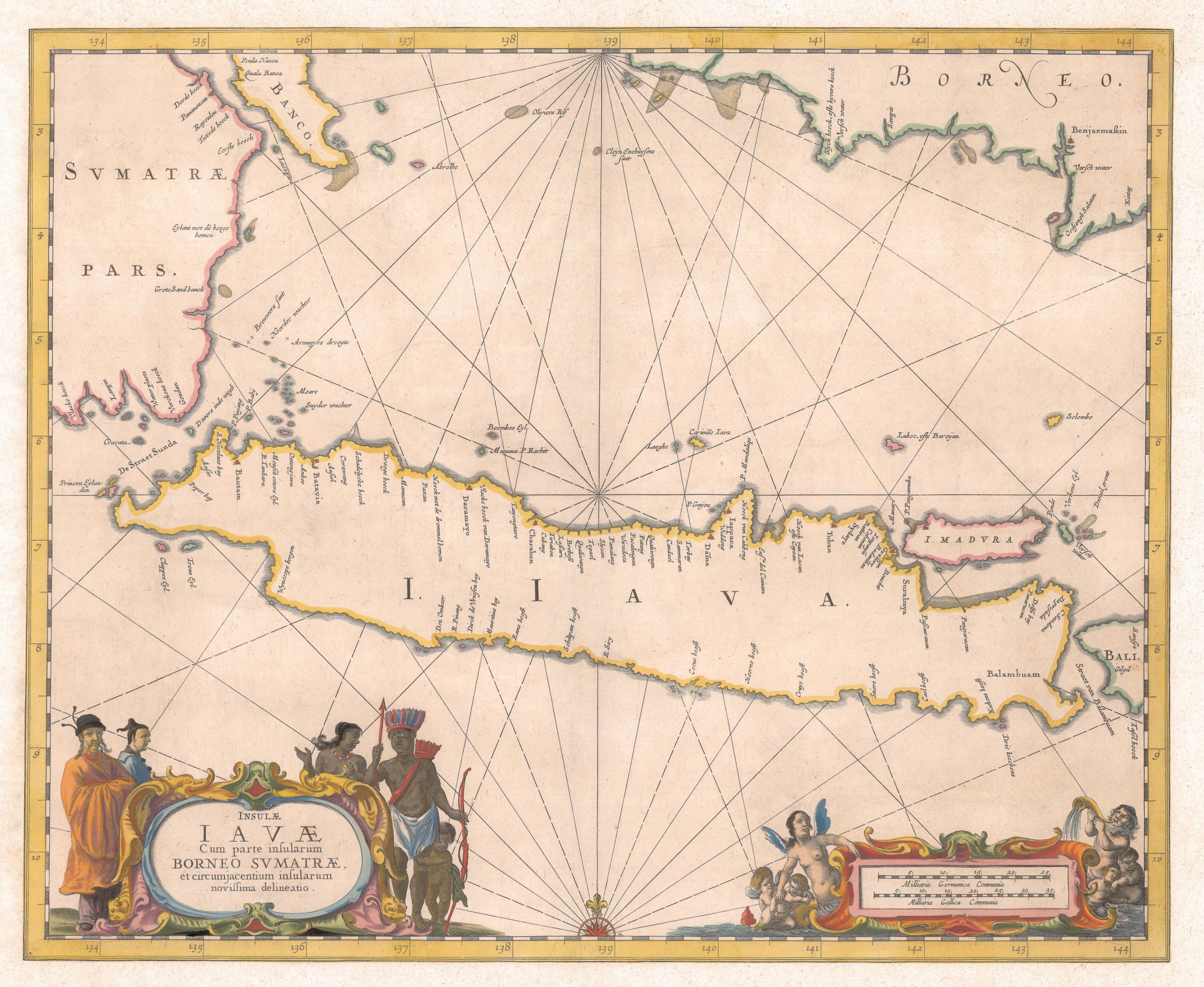
Sea Chart of Java Island – Janssonius c.1657
Janssonius · 1657
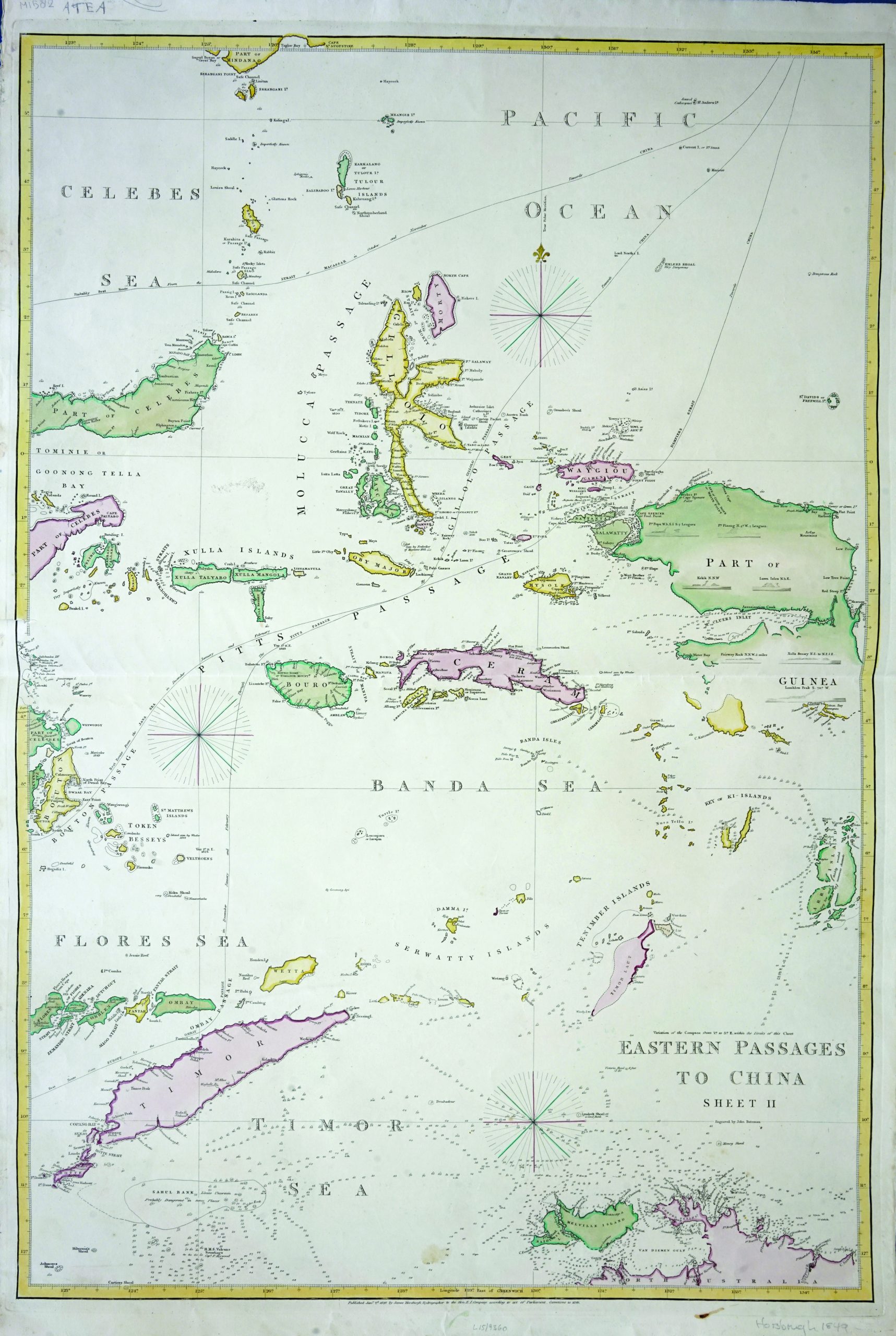
Eastern Passages to China – Bateman (c.1849)
John Bateman · 1849