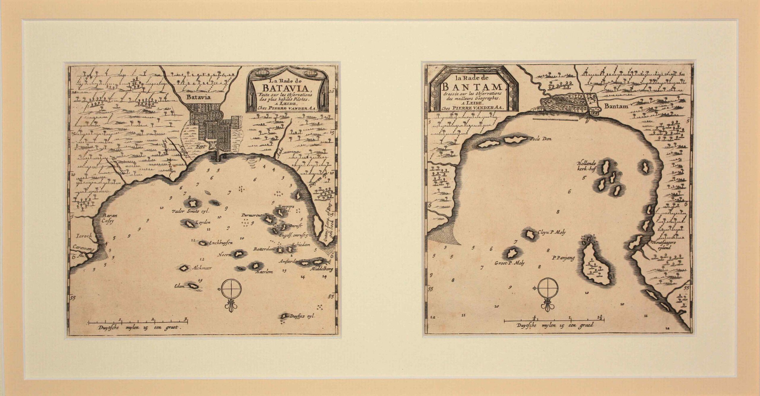
Antique Map Batavia and Bantam by Van der Aa (c.1714)
Van der Aa · 1714-1729
IDR 12,015,000
In our Jakarta gallery
- Maker
- Van der Aa
- Date
- 1714-1729
- Category
- Map
- Reference
- Mc012
Antique Map Batavia and Bantam titled ‘La Rade de Batavia, La Rade de Bantam’.
Two small early 18th century black and white maps of Batavia and Bantam by the prolific Dutch cartographer Pieter van der Aa (1659-1733). First published in his Nouvel Atlas… in 1714 as maps 156 and 158, respectively. The maps were re-issued in his monumental work entitled Galerie Agreable du Monde, completed in 1729, comprising 66 parts and bound in 27 volumes. The Batavia map was number 18 in Part 57 and Bantam map number 1 in Part 58.
Very good condition; each map measures 160 x 162 mm.
Artist: P. van der Aa
Year: c.1714
- An original antique sheet, not a reproduction
- The actual piece is photographed
- Certificate of authenticity on request
- Viewing in Jakarta by appointment