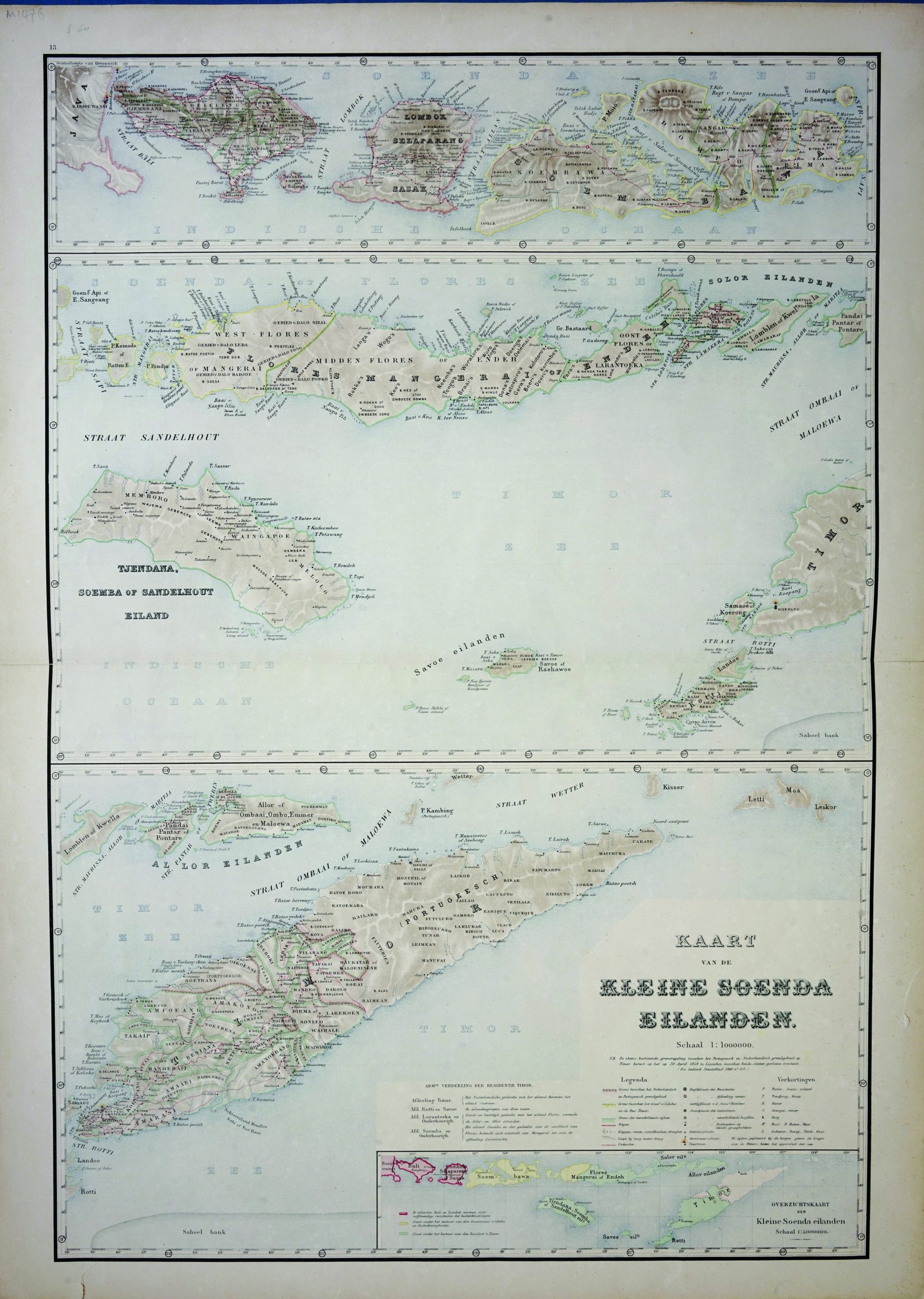
Map of Lesser Sunda Islands – Stemfoort & Siethoff (c.1883-1885)
J.W. Stemfoort/ J.J. ten Siethoff · 1883-1885
US$ 600
In our Jakarta gallery
- Maker
- J.W. Stemfoort/ J.J. ten Siethoff
- Date
- 1883-1885
- Category
- Map
- Reference
- M1476
Titled ‘KAART VAN DE KLEINSE SOENDA EILANDEN – Schaal 1:1000000’
This three-parts map is showing the detailed of
Lesser Sunda Islands , consists of Bali, Lombok, Sumbawa, Flores, Sumba, Timor, Alor Archipelago, Tanimbar Islands, and Barat Daya Islands. All in Indonesian Archipelago. By J.W. Stemfoort / J.J. ten Siethoff.
Published and commissioned by the Dutch Ministry of Colonies, c.1883-1885.
Very good condition ; Measures 910 x 670 mm
- An original antique sheet, not a reproduction
- The actual piece is photographed
- Certificate of authenticity on request
- Viewing in Jakarta by appointment