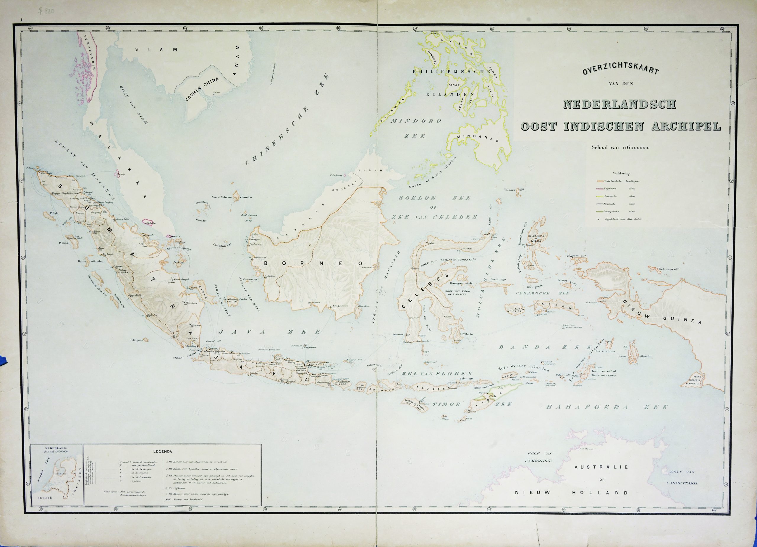
Map of the East Indies c.1895-1901
Unknown · 1895-1901
US$ 880
In our Jakarta gallery
- Maker
- Unknown
- Date
- 1895-1901
- Category
- Map
- Reference
- M1464
A large Dutch origin map of East Indies / Indonesia in the end of 19th century titled
“Overzichtskaart van den Nederlandsch-Indischen archipel”
Showing a full Indonesia geographical map, with Malaka, and the southern Philippines.
Scale 1:6,500,000.
This is one of the map from ‘Nederlandsch Oost Indischen Archipel’ , a Dutch catalogues that compiled maps and published in 1901.
Conditions : Good, age-related toning and a tear at the side and upper side, not affecting the image
Measurements : 900 x 660 mm
- An original antique sheet, not a reproduction
- The actual piece is photographed
- Certificate of authenticity on request
- Viewing in Jakarta by appointment