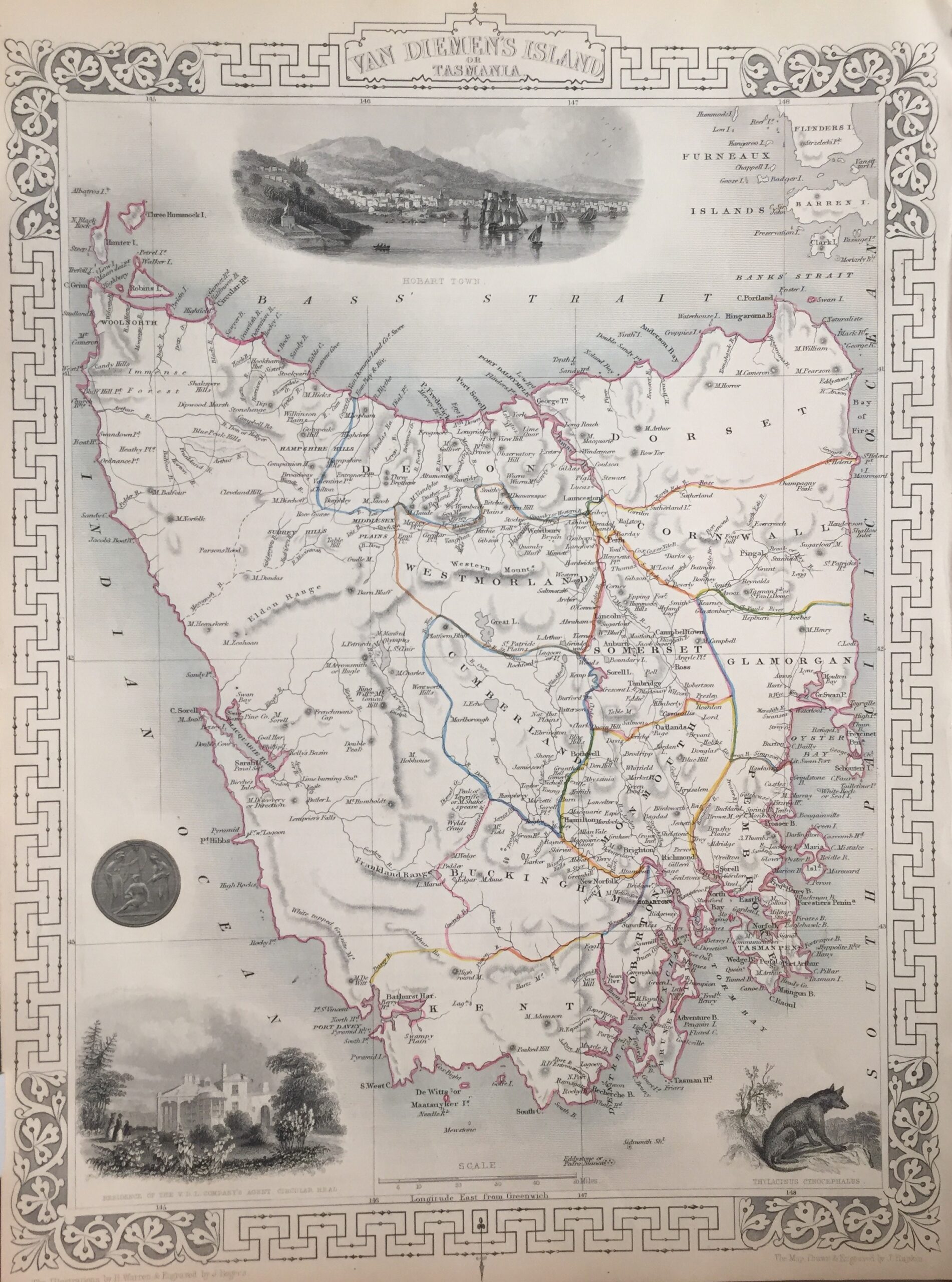
Antique Map Tasmania/Van Diemen’s Land by Tallis (c.1851)
- Maker
- John Tallis
- Date
- 1851
- Category
- Map
- Reference
- M2322-B
Antique Map Tasmania titled ‘Van Diemen’s Island or Tasmania’.
Finely engraved mid 19th century map of Tasmania, Australia (formerly Van Diemen’s Land) which was drawn and engraved by John Rapkin (H. Warren & J. Rogers) and published in John Tallis & co.’s The Illustrated Atlas (London & New York: c.1851). This is an earlier version of the Tallis map (possibly proof) which is without the vignette of ‘Circular Head’ and has a different view of Hobart.
The Illustrated Atlas, published from 1849 to 1853, was the last decorative world atlas. The ‘Van Diemen’s Island’ map was typical of the many fine ones which appeared in this work with its ornamental border and attractive vignettes. Illustrated are views of ‘Hobarton’ (Hobart) and, interestingly, one of the now extinct ‘Thylacinus Cynocephalus’ or Tasmanian Tiger.
Condition: Good
Measures: 252mm x 349mm.
Year: 1849 – 53
- An original antique sheet, not a reproduction
- The actual piece is photographed
- Certificate of authenticity on request
- Viewing in Jakarta by appointment