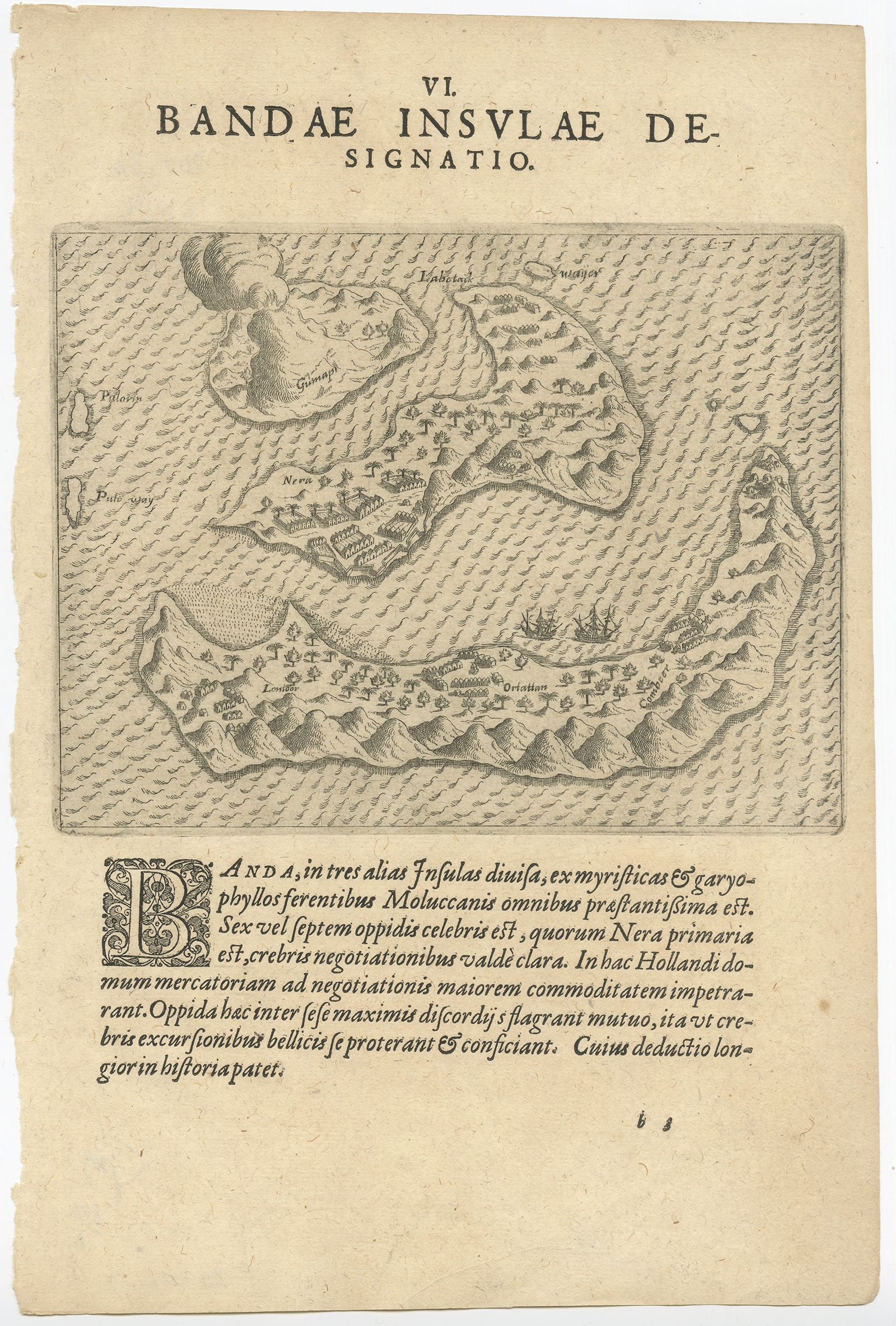
Antique Map of the Banda Islands by De Bry (c.1600)
Theodore De Bry · 1600
US$ 650
In our Jakarta gallery
- Maker
- Theodore De Bry
- Date
- 1600
- Category
- Map
- Edition
- Dutch
- Reference
- BG-11644-3
Antique map Indonesia titled ‘Bandae Insulae designatio’. Antique map depicting the Banda Islands, Indonesia. With Latin text, blank verso. Originates from ‘Indiae Orientalis’ by T. de Bry.
Artists and Engravers: Johann Theodor de Bry (1561 – 1623) was born in Liege in 1561, the eldest son of the engraver and publisher Theodor de Bry. It was from his father that Johann learned his craft, producing both engravings and etchings.
Date: c.1600
Overall size: 20 x 30 cm.
Image size: 18 x 14 cm.
Condition: Very good, age-related toning. Please review the images for further condition details.
- An original antique sheet, not a reproduction
- The actual piece is photographed
- Certificate of authenticity on request
- Viewing in Jakarta by appointment