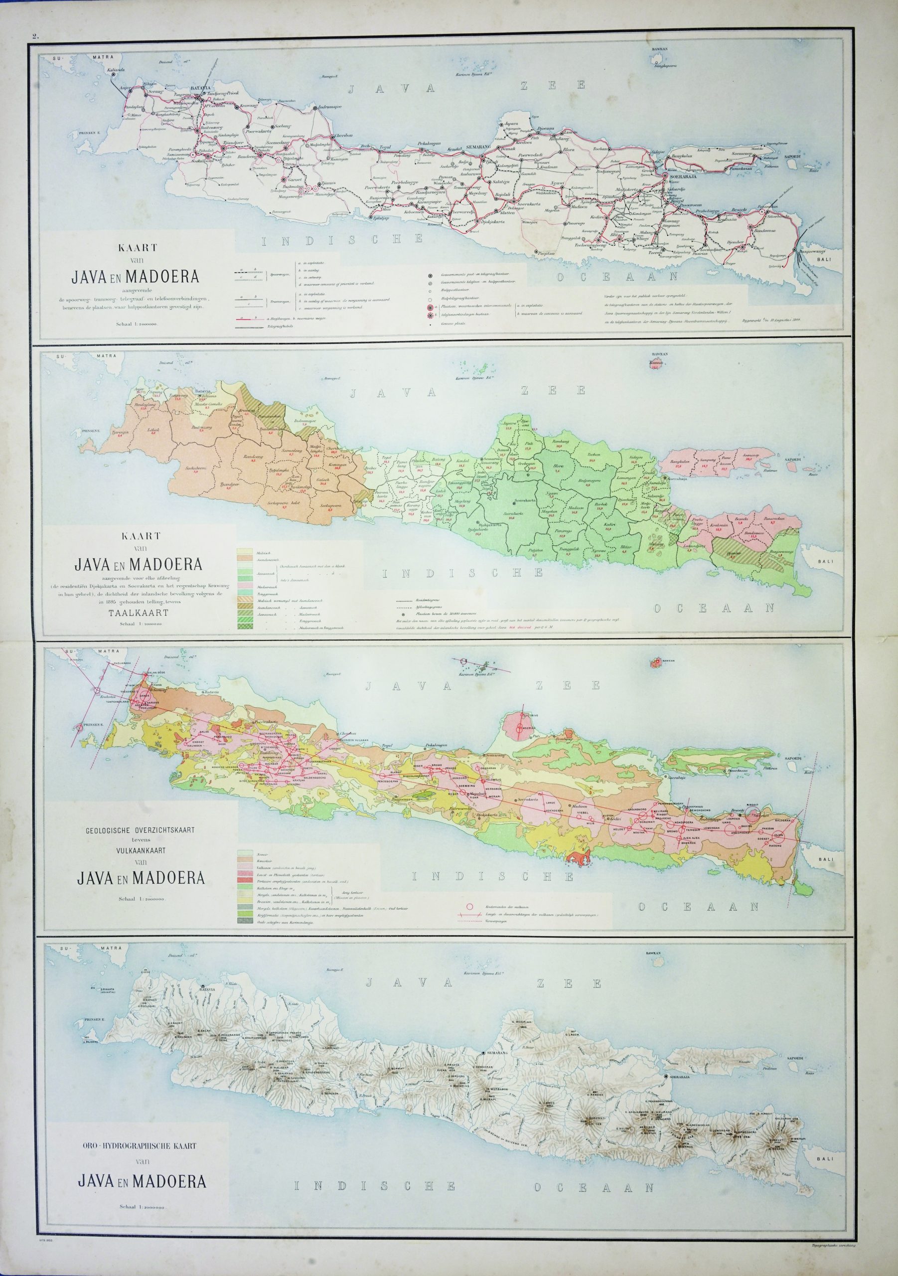
Map of Java and Madura – Stemfoort & Siethoff (c.1900)
J.W. Stemfoort/ J.J. ten Siethoff · 1900
IDR 5,900,000
In our Jakarta gallery
- Maker
- J.W. Stemfoort/ J.J. ten Siethoff
- Date
- 1900
- Category
- Map
- Reference
- M2311
A very detailed four-parts geographic chart of Java and Madura in Indonesia. Shown from the top to bottom ;
First section –
Railway, tramway, telegraph and telephone connections routes
Second section – Each division and density of populations, also languages map
Third section – Geological map, the volcanoes in Java and Madura
Fourth section – Orohydrographic map
This map is published by JW. Stemfoort en J.J. ten Siethoff on the early 20th century.
Very good condition, only brown foxing on the margins and tear at the edge
Measures 900 x 650 mm
- An original antique sheet, not a reproduction
- The actual piece is photographed
- Certificate of authenticity on request
- Viewing in Jakarta by appointment