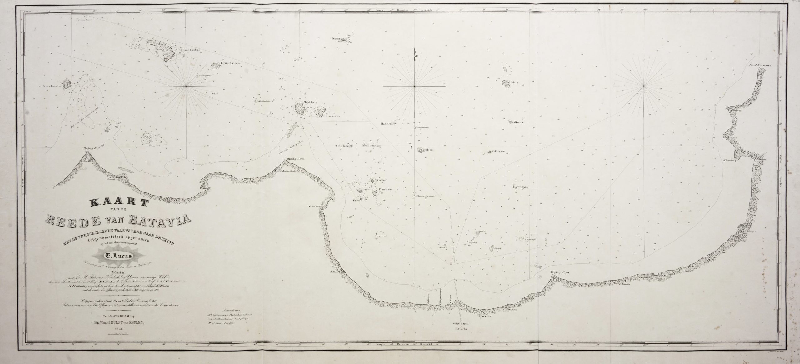
Chart of Batavia Harbour – Escher (c.1841)
- Maker
- B.G Escher
- Date
- 1841
- Category
- Map
- Reference
- M1825
Titled ‘
KAART VAN DE REEDE VAN BATAVIA MET DE VERSCHILLENDE VAARWATERS NAAR DEZELVE trigonometrisch opgenomen op last van den schout bijnacht T. Lucas …….. TE AMSTERDAM, By DE WED. G. HULST VAN KEULEN. 1841′.
A very large and rare mid-19th century Dutch so called blue-black chart centered on Jakarta’s harbor and in original colour showing a number of the ‘Thousand Islands’ (Pulau Seribu) closest to Jakarta including Onrust, the island famous for its ship repair yards. The chart was drawn by B.G.Escher, I.A.C. Eschauzier, B.H.Staring and E.H.Boom during an expedition in 1841 by the ships
Krokodil and
Hekla , engraved by J.C.Zurcher and updated for and published in 1847 by Jacob Swart under the imprint of Gerard Hulst van Keulen of Amsterdam. In 1823, Jacob Swart entered the service of the van Keulen firm, and in 1844, with the death of Johannes Hulst van Keulen, head of the van Keulen Chartmakers was passed to Jacob Swart. When Jacob died in 1866, he was succeeded by his son, Jacob Swart, Jr. Finally the possessions of the firm were sold at auction in 1885.
Condition : Very good, apart from some black marks near the bottom of the centre-fold, verso backed with muslin
Measures : 540 x 1204 mm
- An original antique sheet, not a reproduction
- The actual piece is photographed
- Certificate of authenticity on request
- Viewing in Jakarta by appointment