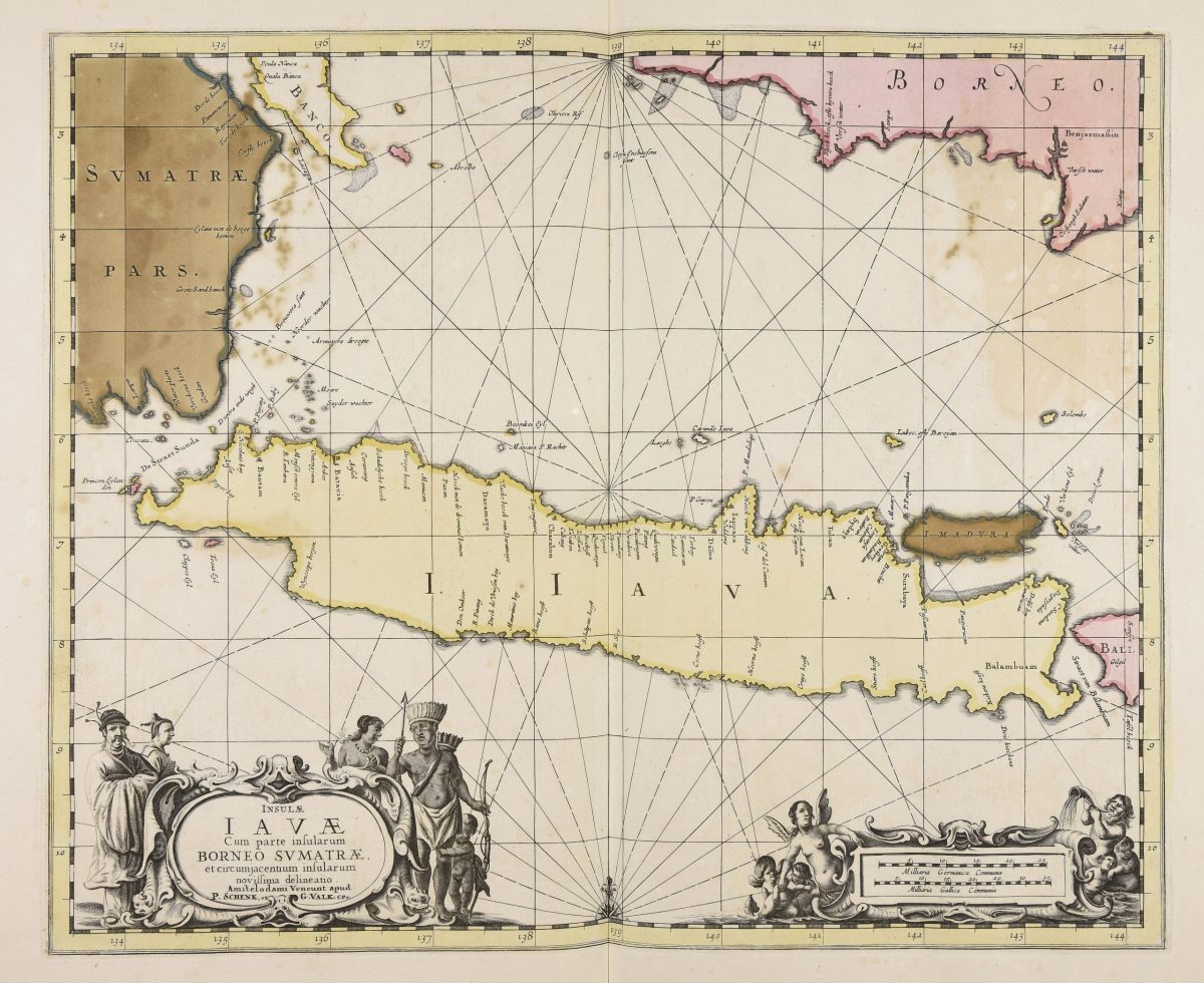
Map of Java island – Janssonius (1657)
- Maker
- Jan jansson
- Date
- 1657
- Category
- Map
- Reference
- M0056
Beautiful map of the Island of Java and part of Borneo, Bali, Madura and Sumatra, by Jan Janssonius,
‘Insulae Iavae, cum parte insularum Borneo, Svmatrae, et circumjacentium insularum, novissima delineatio’
Artists and Engravers:
Jan Janssonius (also known as Johann or Jan Jansson or Janszoon) (1588-1664) was a renowned geographer and publisher of the seventeenth century, when the Dutch dominated map publishing in Europe. Born in Arnhem, Jan was first exposed to the trade via his father, who was also a bookseller and publisher. In 1612, Jan married the daughter of Jodocus Hondius, who was also a prominent mapmaker and seller. Janssonius’ first maps date from 1616.
Date: c.1657
Overall size: 740 x 640 mm. (FRAMED)
Condition: Good, age-related toning.
- An original antique sheet, not a reproduction
- The actual piece is photographed
- Certificate of authenticity on request
- Viewing in Jakarta by appointment