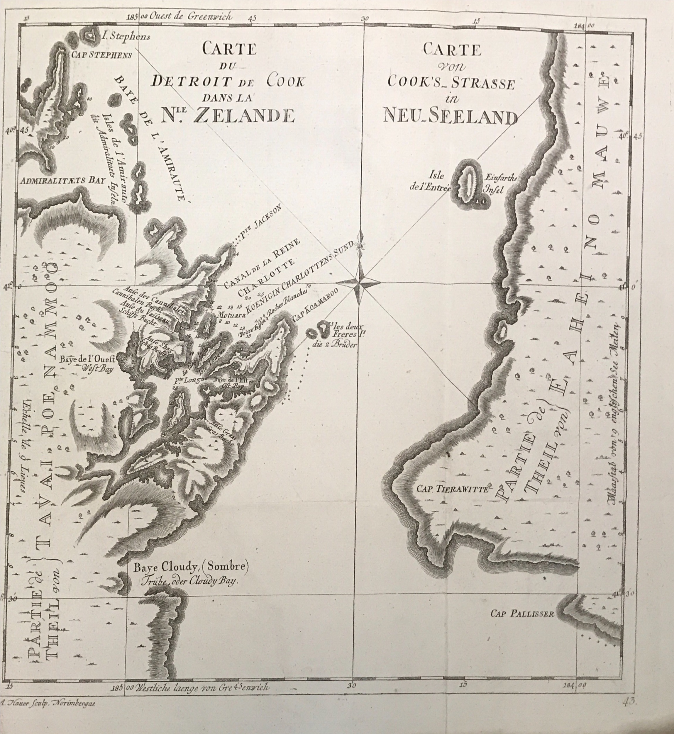
New Zealand map by Captain James Cook (1774)
James Cook/Benard · 1774
IDR 46,000,000US$ 3,000
In our Jakarta gallery
- Maker
- James Cook/Benard
- Date
- 1774
- Category
- Map
- Edition
- French
- Reference
- BG-11487-1
Antique map of New Zealand titled ‘
‘Carte du Detroit de Cook dans la Nle.Zelande – Carte von Cook’s Strasse in Neu-Seeland’
Fine original map copperplate engraved of the coastlines of the Cook Strait in New Zealand passed at the voyage of Captain Cook. Based on Cook’s expeditions.
Captain James Cook FRS (1728-1779) was a British explorer, navigator, cartographer and captain of the British Royal Navy, famous for his three voyages between 1768 and 1779 in the Pacific Ocean and to Australia in particular.
Year: 1774
Condition: A tear on the left side, but not affecting the image of the map.
Measures: 12,5 x 11,8 inch
- An original antique sheet, not a reproduction
- The actual piece is photographed
- Certificate of authenticity on request
- Viewing in Jakarta by appointment