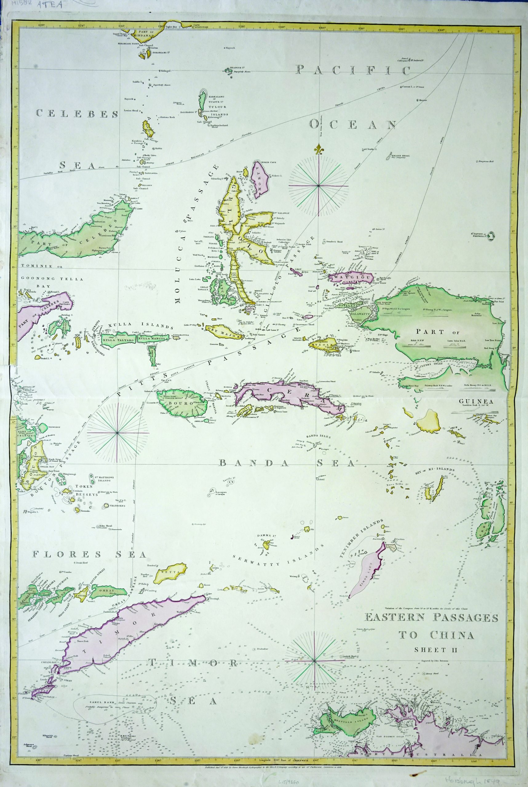
Eastern Passages to China – Bateman (c.1849)
John Bateman · 1849
IDR 22,500,000
In our Jakarta gallery
- Maker
- John Bateman
- Date
- 1849
- Category
- Map
- Reference
- M1582
A large antique Sea Chart showing various passages, and ship routes to China, centred in the Banda Sea region, with Timor island, New Guinea and part of Celebes. Depths are shown by soundings and form lines. Engraved by John Bateman c.1848-1849 and published by James Horsburgh, hydrographer to the Honble. E. I. Company.
Good condition, only brown foxing on the edge of the margins.
Measures 67 x 1000 mm
- An original antique sheet, not a reproduction
- The actual piece is photographed
- Certificate of authenticity on request
- Viewing in Jakarta by appointment