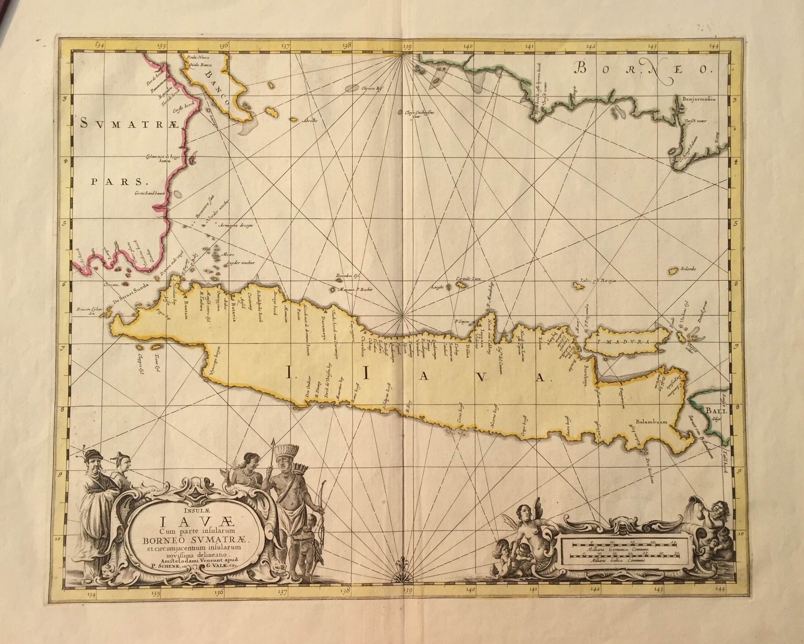
Antique Map Java by Janssonius (c.1657)
- Maker
- Janssonius
- Date
- 1657
- Category
- Map
- Reference
- M0957 (back to Holland)
Antique map Java by Janssonius titled ‘
INSULAE
IAVAE
Cum parte insularum
BORNEO SVMATRA.
et circumjacentium insularum
noviffima delineatio’.
A beautiful mid-17 th century sea chart of Java Island in old colour by the famous Dutch cartographer Jan Jansson also known as Johannes Janssonius (1588-1664) that was originally published in his five-volume sea atlas
Atlantis Majoris Quinta Pars Orbem Maritimum in 1657. One of three folio-sized maps of the three largest Indonesian islands in the atlas, the others being Sumatra and Borneo. This edition was published by Peter Schenk (1661-1711) and Gerard Valk, engravers and booksellers of Amsterdam, who acquired the copper plates of Jansson’s in
Atlantis Majoris 1694 and began to produce Jansson’s maps with their imprimatur;
Excellent condition with wide margins and a strong plate mark; measures 415 x 512 mm.
Artist: J. Janssonius
Year: c.1657
- An original antique sheet, not a reproduction
- The actual piece is photographed
- Certificate of authenticity on request
- Viewing in Jakarta by appointment