Friesland, the Netherlands
Highlights from Langweer
A selection of important maps and prints from our Langweer gallery in Friesland. The full collection, some nineteen thousand originals, is offered at our online shop, maps-prints.com, where every piece can be bought securely and shipped worldwide.
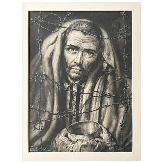
The Prisoner – Original Illustration by Charles Burki, 1965
1965
€ 1,850 · maps-prints.com
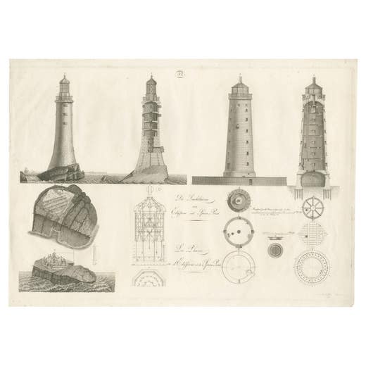
Lighthouse Architecture & Engineering Engravings, Set of 3, c. 1800
1800
€ 1,850 · maps-prints.com
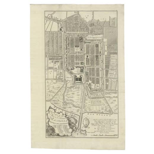
Antique Plan of Batavia, Nowadays Jakarta, Indonesia, 1780
1780
€ 1,848 · maps-prints.com
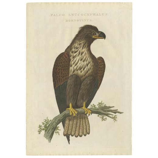
White-Tailed Eagle – Falco Leucocephalus Hornotinus – Antique Bird Print c.1829
M. Houttuyn,J.C. Sepp · 1829
€ 1,800 · maps-prints.com
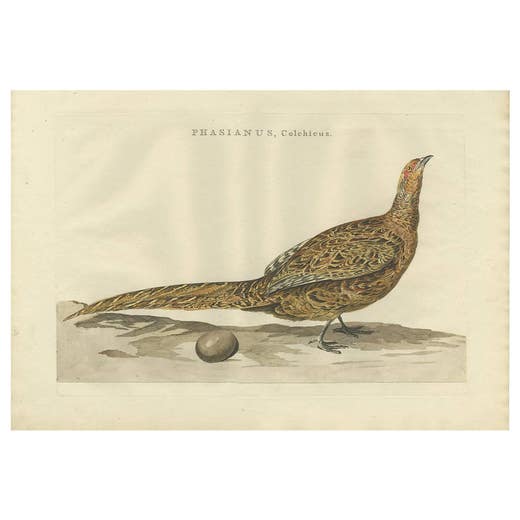
Antique Bird Print of the Common Pheasant by Sepp & Nozeman, 1789
Cornelius Nozeman,M. Houttuyn,J.C. Sepp · 1789
€ 1,800 · maps-prints.com
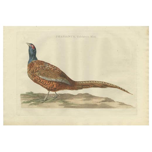
Antique Bird Print of the Common Pheasant 'Male' by Sepp & Nozeman, 1789
Cornelius Nozeman,M. Houttuyn,J.C. Sepp · 1789
€ 1,800 · maps-prints.com
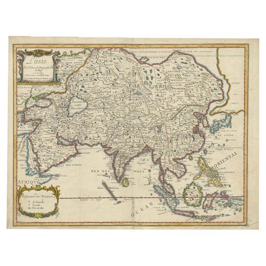
Antique Duval Map of East Asia with China, Japan, Korea and the Great Wall, 1663
1663
€ 1,800 · maps-prints.com
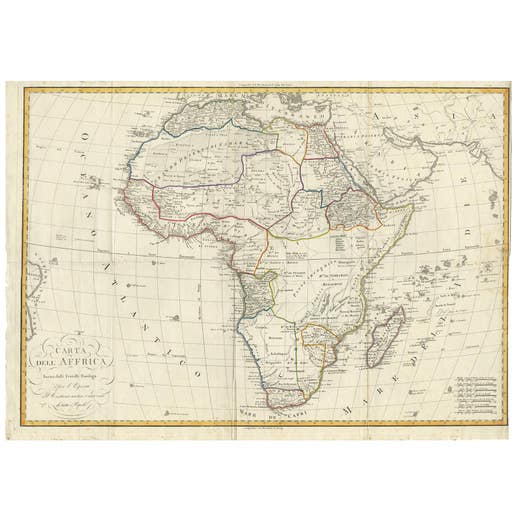
Antique Map of Africa by Bordiga Fratelli 'circa 1818'
1818
€ 1,800 · maps-prints.com
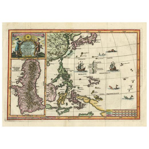
Antique Map of the Philippines and Guam by Scherer, circa 1702
1702
€ 1,800 · maps-prints.com
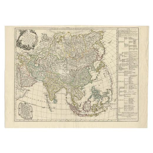
Antique Map of Asia with Additional Country Information, c. 1749
1749
€ 1,800 · maps-prints.com
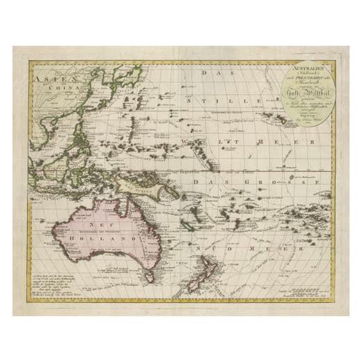
1802 Map of Australasia and the South Pacific - European Exploration Routes
1802
€ 1,800 · maps-prints.com
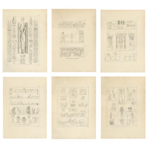
Ancient Egyptian Reliefs & Hieroglyphs, Denon Voyage Egypt, 6 Engravings 1802
1802
€ 1,800 · maps-prints.com
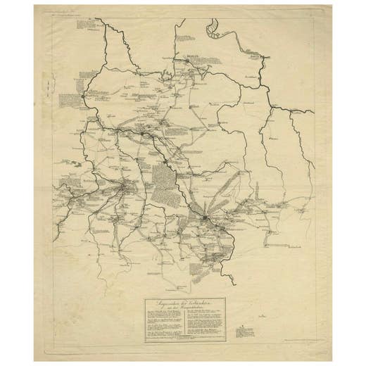
Napoleonic Wars: Germany Allied Military Campaign Map by Ausfeld, 1814
1814
€ 1,800 · maps-prints.com
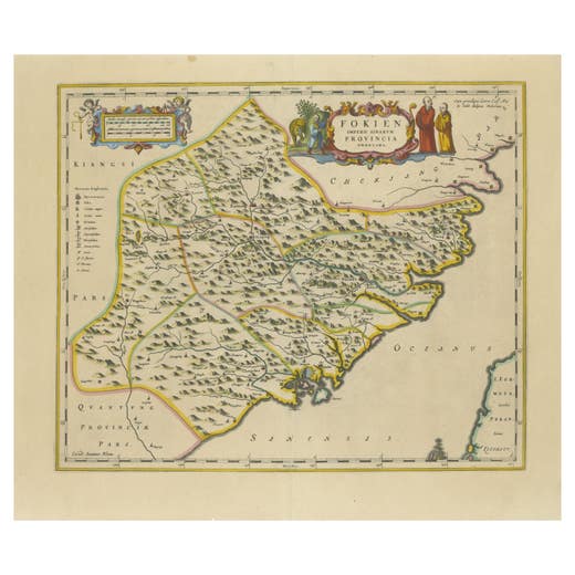
Original 17th-Century Antique Map of Fujian (Fokien) Province, China – by Blaeu
Antique Map
€ 1,780 · maps-prints.com
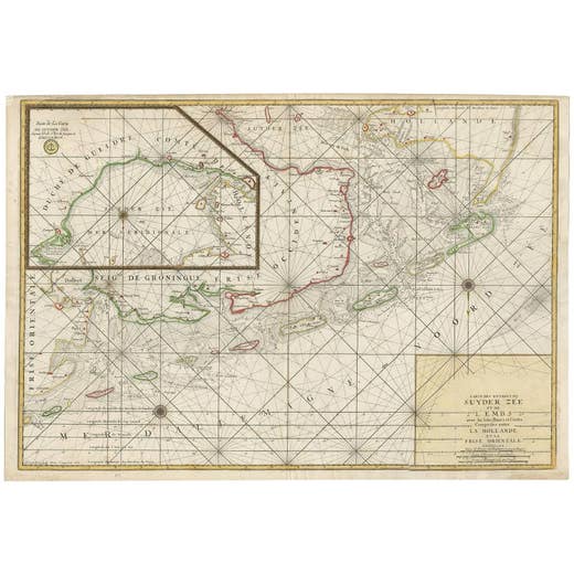
Large Sea Chart of the Zuyder Zee & The Northsea with the Wadden Islands, 1773
H. van Loon · 1773
€ 1,750 · maps-prints.com
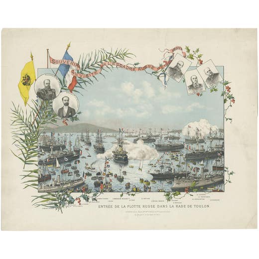
Naval lithograph of Russian fleet arriving in Toulon, France, in 1893
1893
€ 1,750 · maps-prints.com
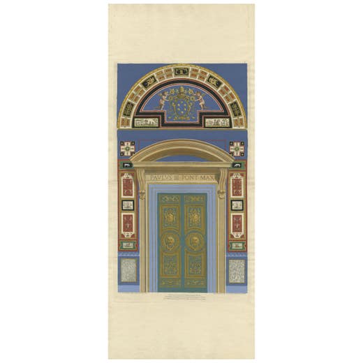
Print of a Religious Fresco or Decorative Pilaster by Ottoviani, 'circa 1775'
1775
€ 1,750 · maps-prints.com
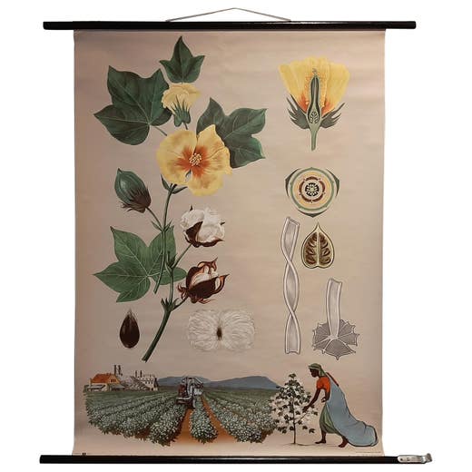
Vintage Botany Wall Chart of a Cotton Plant and Cotton Cultivation, circa 1960
1960
€ 1,750 · maps-prints.com
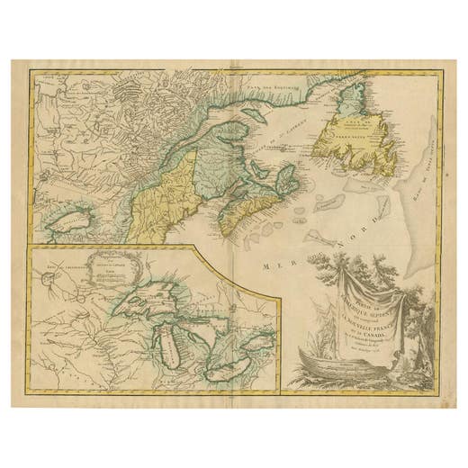
Antique Map of New England and Part of Canada by Vaugondy 'circa 1755'
1755
€ 1,750 · maps-prints.com
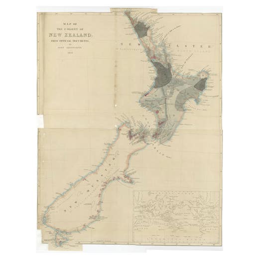
Antique Map of New Zealand by Arrowsmith '1844'
1844
€ 1,750 · maps-prints.com
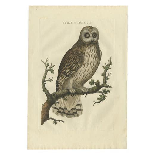
Antique Bird Print of a Male Strix Owl by Sepp & Nozeman, 1770
1770
€ 1,750 · maps-prints.com
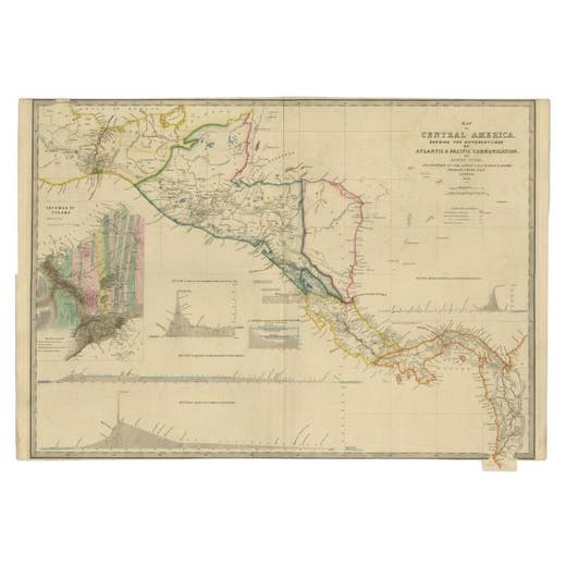
Antique Map of Central America Showing the Communication Lines, 1850
1850
€ 1,750 · maps-prints.com
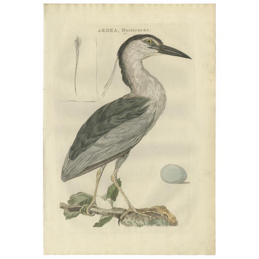
Antique Bird Print of the Black-Crowned Night Heron by Sepp & Nozeman, 1789
1789
€ 1,750 · maps-prints.com
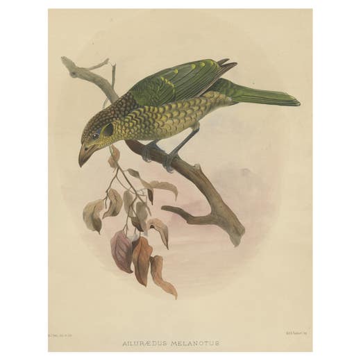
Antique Bird Print of the Black-Cheek Cat Bird by Elliot, c.1873
1873
€ 1,750 · maps-prints.com
Nineteen thousand more at maps-prints.com
Our online shop holds the whole Langweer collection: maps, sea charts, city views, natural history and costume prints, all originals, with secure checkout and worldwide shipping.
Visit maps-prints.com