Friesland, the Netherlands
Highlights from Langweer
A selection of important maps and prints from our Langweer gallery in Friesland. The full collection, some nineteen thousand originals, is offered at our online shop, maps-prints.com, where every piece can be bought securely and shipped worldwide.
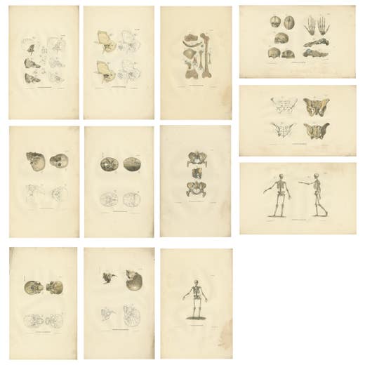
Set of 12 Antique Anatomy Prints of Osteology, '1839'
1839
€ 1,500 · maps-prints.com
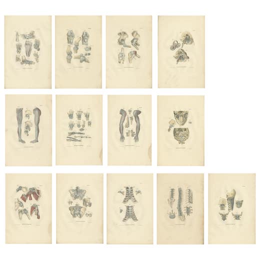
Set of 13 Antique Anatomy Prints of Ligaments and Joints, 1839
1839
€ 1,500 · maps-prints.com
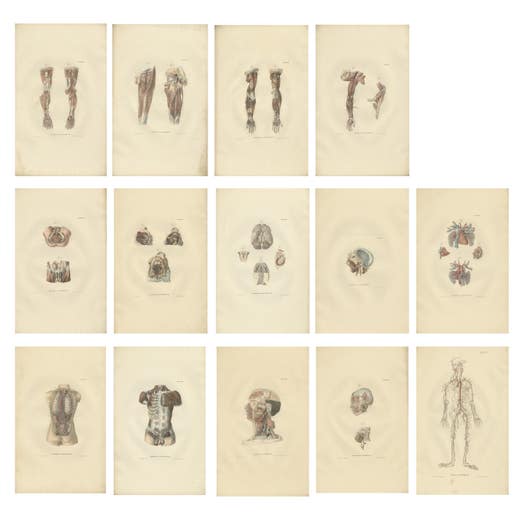
Set of 14 Antique Anatomy Prints of Angiology '1839'
1839
€ 1,500 · maps-prints.com
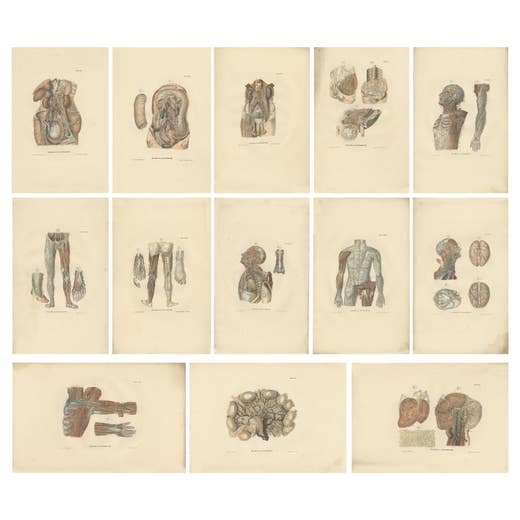
Set of 13 Antique Anatomy Prints of Vessels and the Lymphatic System, 1839
1839
€ 1,500 · maps-prints.com
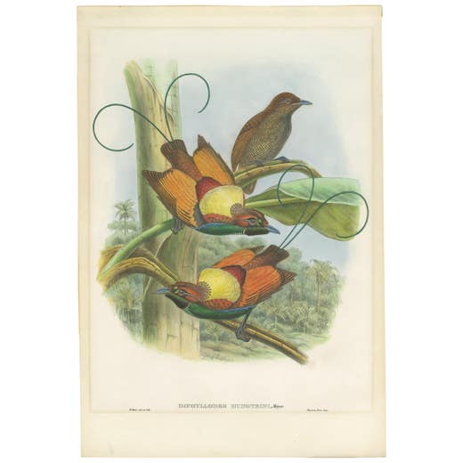
Antique Bird Print of Hunstein's Bird of Paradise by Gould, circa 1850
1850
€ 1,500 · maps-prints.com

Antique Bird Print of the Magificant Bird of Paradise by Gould, circa 1850
1850
€ 1,500 · maps-prints.com
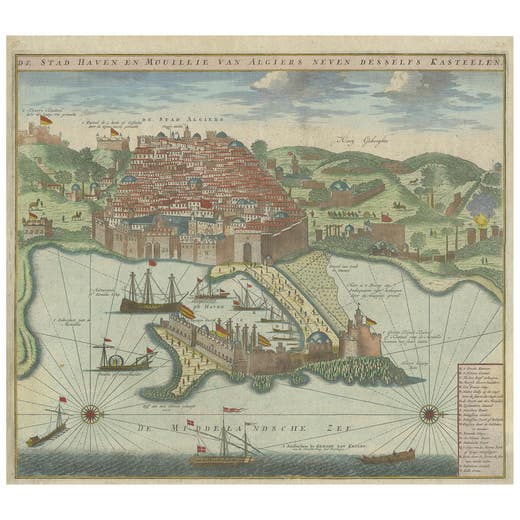
Antique Print of the Port and City of Algiers by Van Keulen, circa 1720
1720
€ 1,500 · maps-prints.com
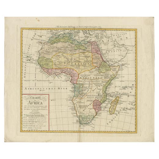
Antique Map of Africa by Homann Heirs, '1804'
1804
€ 1,500 · maps-prints.com
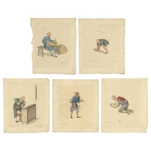
Set of 5 Antique Prints of Professions in China by Dadley, 'c.1810'
1810
€ 1,500 · maps-prints.com
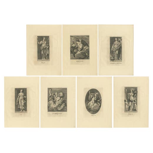
Set of 7 Antique Prints of Various Personifications by Von Prenner, '1748'
1748
€ 1,500 · maps-prints.com
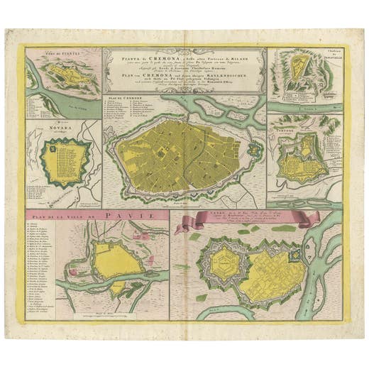
Antique Map with Plans of Cremona, Pavia, Montferrato & Others by Homann, '1734'
1734
€ 1,500 · maps-prints.com
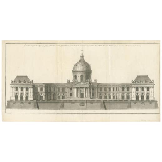
Antique Print of the Facade of the Collège des Quatre-Nations by Mariette '1738'
1738
€ 1,500 · maps-prints.com
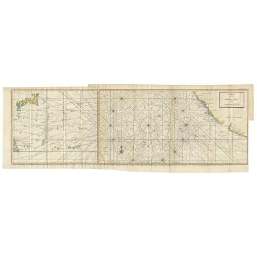
Antique Chart of the Mid-Pacific Ocean by Anson, c.1784
1784
€ 1,500 · maps-prints.com
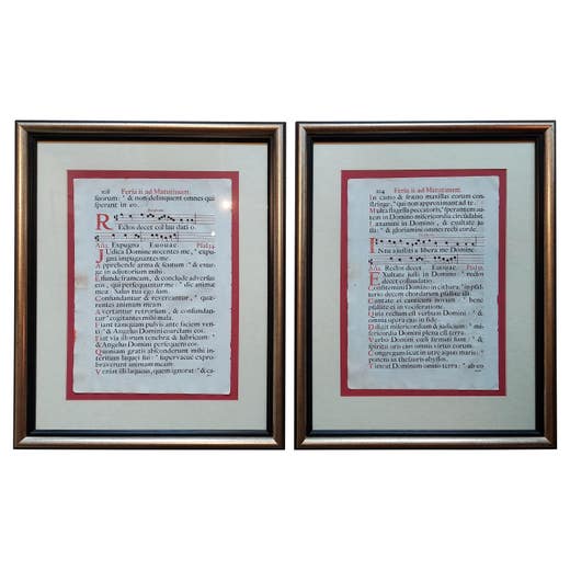
Set of 2 Antique Antiphonal Music Sheets 'Spanish', Published circa 1700
1700
€ 1,500 · maps-prints.com

Antique Chinese Rice Paper Pith Painting of Men and Women '19th century'
19th Century
€ 1,500 · maps-prints.com
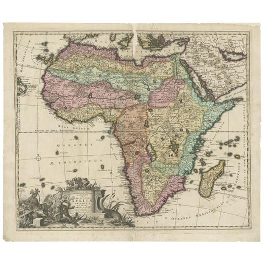
Original Antique Hand- Map of Africa by Allard '1697'
1697
€ 1,500 · maps-prints.com
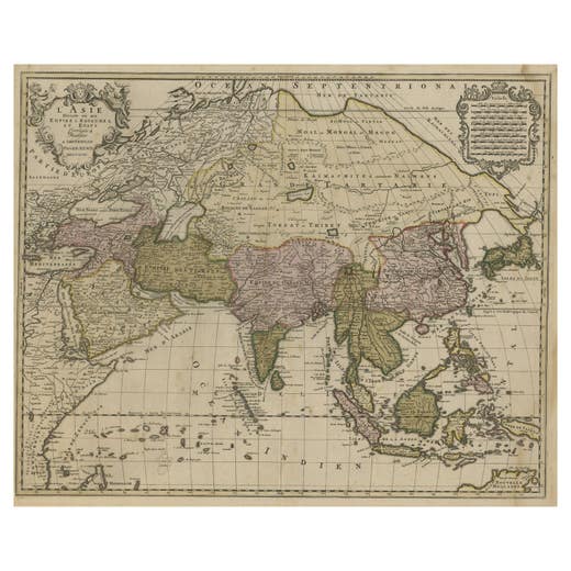
Large Antique Map of Asia including All of Southeast Asia, c.1792
1792
€ 1,500 · maps-prints.com
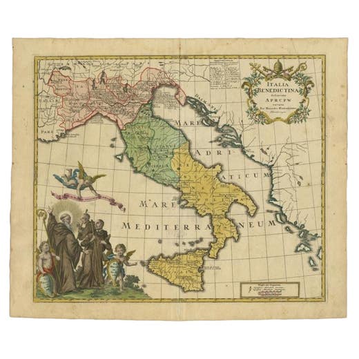
Unusual Benedictine Map of Italy, Showing Various States of the Church, C.1745
1745
€ 1,500 · maps-prints.com
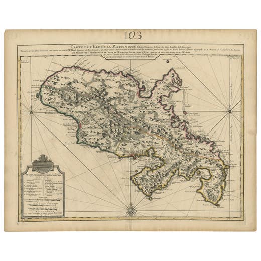
Antique Map of Martinique, Showing Roads, Houses, Sugar Plantations, etc. c.1750
1750
€ 1,500 · maps-prints.com
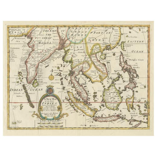
Old Map Covering All of Southeast Asia from Persia to the Timor Island, 1712
1712
€ 1,500 · maps-prints.com
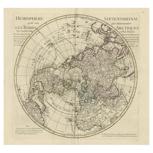
Antique Map of the Northern Hemisphere, 1782
1782
€ 1,500 · maps-prints.com
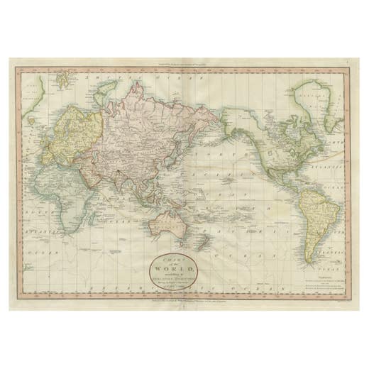
Attractive Antique Map of the World as Planisphere, Shows Cook's Voyages, 1799
1799
€ 1,500 · maps-prints.com
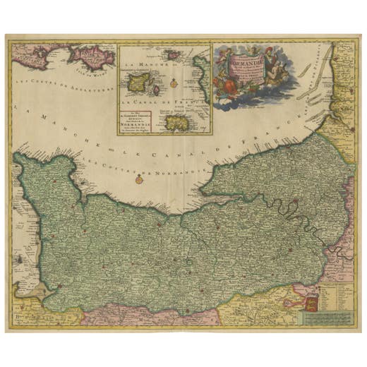
Original Normandy Map by Frederick de Wit, 1705, with Inset of Channel Islands
1705
€ 1,500 · maps-prints.com
Nineteen thousand more at maps-prints.com
Our online shop holds the whole Langweer collection: maps, sea charts, city views, natural history and costume prints, all originals, with secure checkout and worldwide shipping.
Visit maps-prints.com