Friesland, the Netherlands
Highlights from Langweer
A selection of important maps and prints from our Langweer gallery in Friesland. The full collection, some nineteen thousand originals, is offered at our online shop, maps-prints.com, where every piece can be bought securely and shipped worldwide.
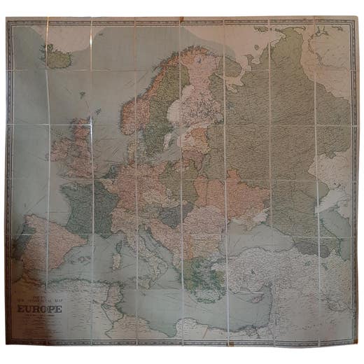
Large Wall Map of Europe by George Philip & Son, circa 1920
1920
€ 2,500 · maps-prints.com
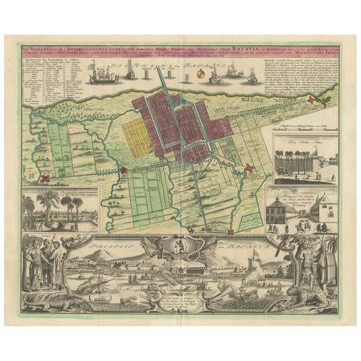
Antique Map and Views of Batavia by Homann Heirs, '1733'
1733
€ 2,500 · maps-prints.com
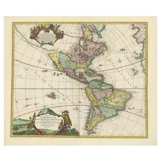
Antique Map of America with California as an Island by Homann '1710'
1710
€ 2,500 · maps-prints.com
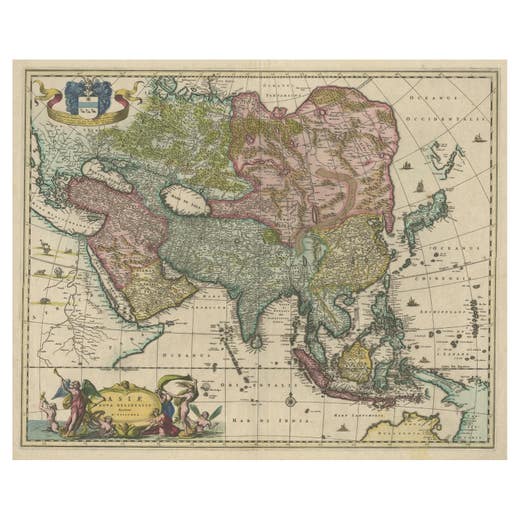
Antique Map of Asia and the East Indies and Korea as a Peninsula, ca.1660
1660
€ 2,500 · maps-prints.com
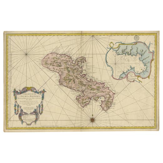
Stunning Large Scale Antique Map of Martinique, Rare, Published 1758
1758
€ 2,500 · maps-prints.com
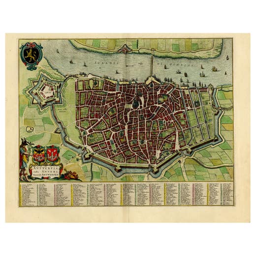
Beautiful Original Antique Map of Antwerp, Belgium by Mapmaker Blaeu, ca.1652
1652
€ 2,500 · maps-prints.com
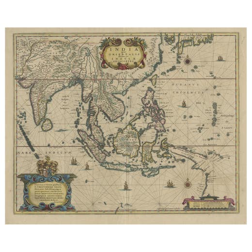
Original Antique Hand-Colored Map of The East Indies and Southeast Asia, c.1644
1644
€ 2,500 · maps-prints.com
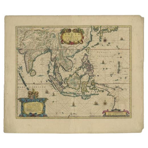
Original Antique Map of the East Indies (Indonesia) by Janssonius, c.1644
Johannes Janssonius · 1644
€ 2,500 · maps-prints.com
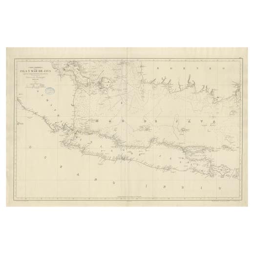
Large Chart of the island and sea of Java, Indonesia
Antique Map
€ 2,500 · maps-prints.com
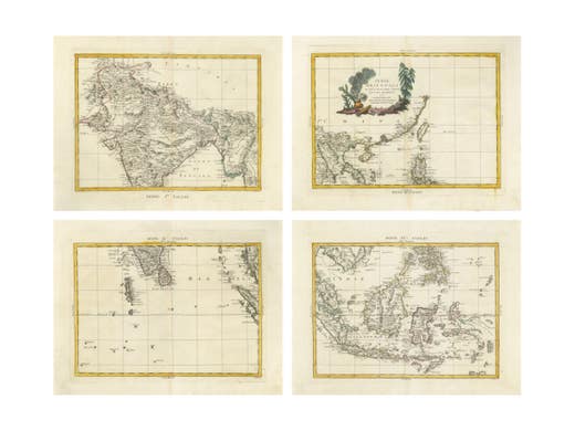
Antique Map Set East Indies – India, Indochina, Indonesia, Zatta 1784
1784
€ 2,495 · maps-prints.com
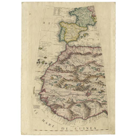
Rare Antique Map of Southwestern Europe and West Africa by V.M. Coronelli, 1692
Vincenzo Coronelli · 1692
€ 2,450 · maps-prints.com
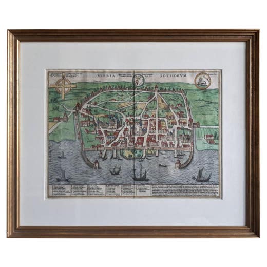
Antique Map of the City of Visby 'Sweden' by F. Hogenberg, 1598
1598
€ 2,450 · maps-prints.com
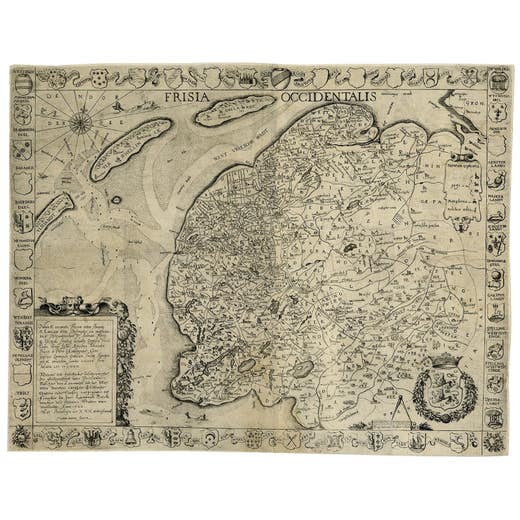
Frisia Occidentalis, A Rare Antique Engraving of Friesland, The Netherlands
Antique Map
€ 2,450 · maps-prints.com
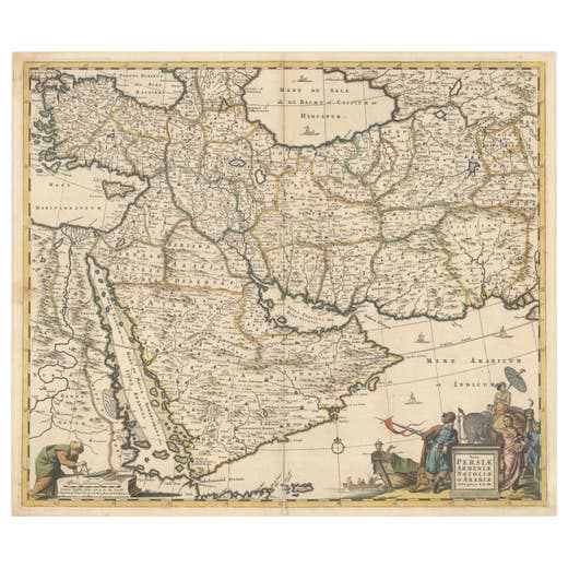
Circa 1691 Frederick de Wit Map: Middle East with Arabia, Persia & More
1691
€ 2,450 · maps-prints.com
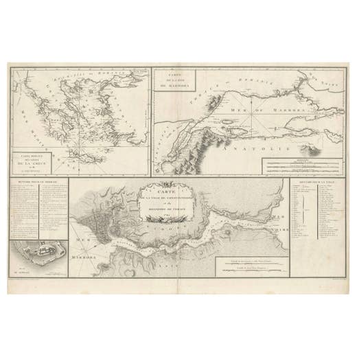
Map of Constantinople, Bosphorus, the Coasts of Greece and the Archipelago, 1785
1785
€ 2,450 · maps-prints.com
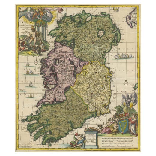
Hibernia Regnum Map by Carel Allard, 1700: Hand-Colored Provinces of Ireland
1700
€ 2,400 · maps-prints.com
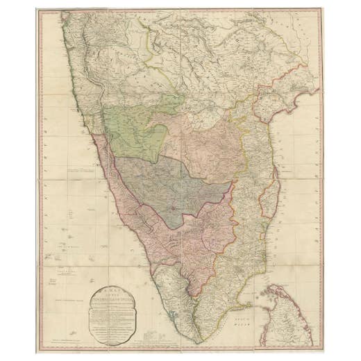
Large Decorative Colonial-Era Map of South India – Peninsula of India, 1800
1800
€ 2,400 · maps-prints.com
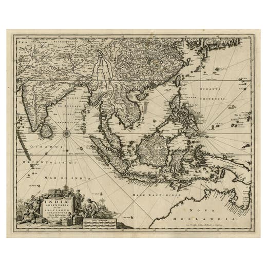
Antique Map of the Strait of Malacca, Malay Peninsula & Dutch Indies, c.1670
1670
€ 2,350 · maps-prints.com
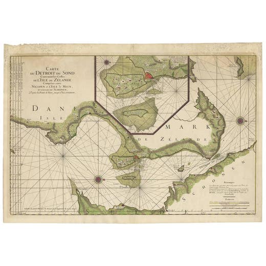
Antique Map: Carte du Détroit du Sond with Copenhagen Inset, 1693
Unknown · 1693
€ 2,250 · maps-prints.com
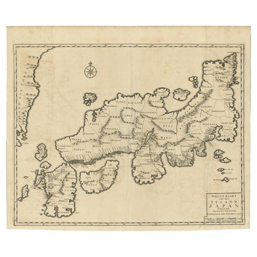
Rare Antique Map of Japan with Place Names Given in Dutch Nomenclature, 1726
1726
€ 2,250 · maps-prints.com
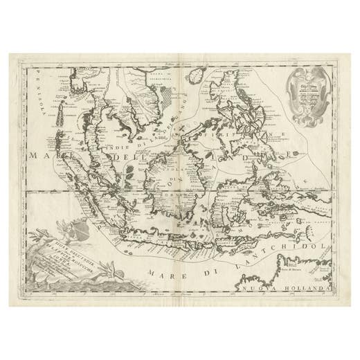
Original Antique Map of the Philippines, Malaysia, Indonesia, Singapore, c.1690
1690
€ 2,250 · maps-prints.com
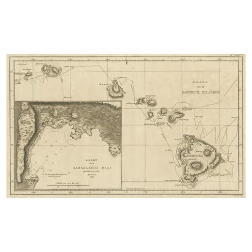
Map of the Hawaiian Islands with a Large Inset of Karakakooa Bay, 1803
1803
€ 2,250 · maps-prints.com
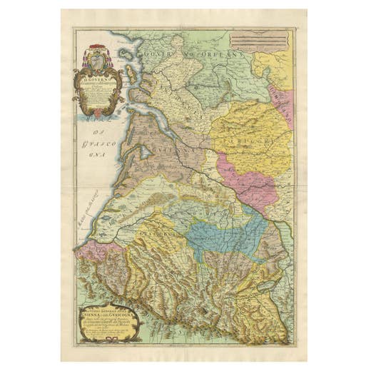
Large 1695 Hand-Colored Engraved Map of Gascony (Gascogna), France
1695
€ 2,250 · maps-prints.com
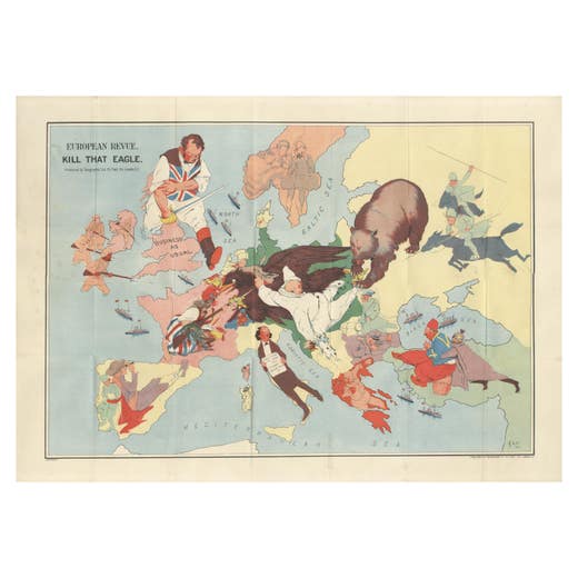
WWI Satirical Cartoon Map: 'Kill That Eagle' by J.H. Amschewitz, 1914
1914
€ 2,250 · maps-prints.com
Nineteen thousand more at maps-prints.com
Our online shop holds the whole Langweer collection: maps, sea charts, city views, natural history and costume prints, all originals, with secure checkout and worldwide shipping.
Visit maps-prints.com