Friesland, the Netherlands
Highlights from Langweer
A selection of important maps and prints from our Langweer gallery in Friesland. The full collection, some nineteen thousand originals, is offered at our online shop, maps-prints.com, where every piece can be bought securely and shipped worldwide.
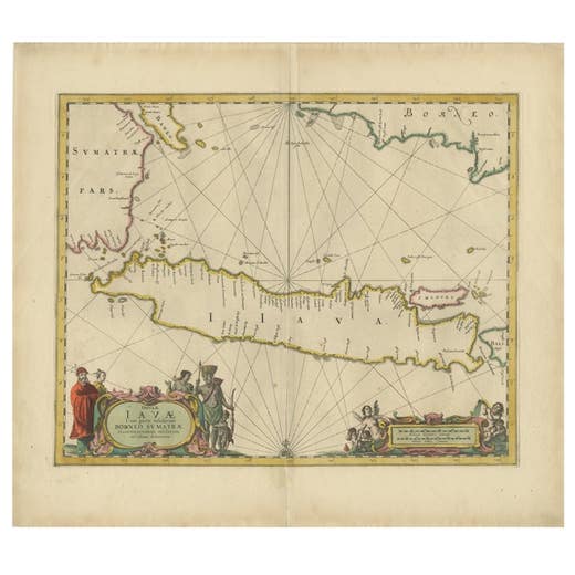
Antique Map of the Island Java, Indonesia, c.1650
1650
€ 3,250 · maps-prints.com
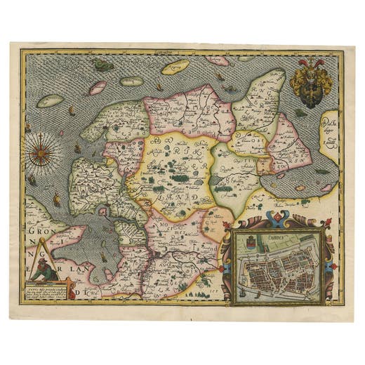
Stunning Decorative Antique Map of East Frisia with an Inset of Emden, c.1610
1610
€ 3,250 · maps-prints.com
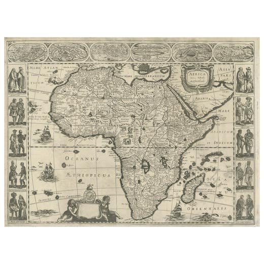
Antique Map of Africa by Janssonius, Rare Paneled Print, Circa 1655
1655
€ 3,000 · maps-prints.com
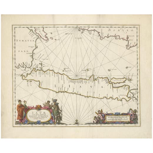
Antique Map of Java by Janssonius, circa 1650
1650
€ 2,950 · maps-prints.com
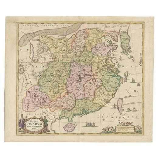
Antique Map of China and Korea incl Formosa and Hainan, by Janssonius, ca.1650
1650
€ 2,950 · maps-prints.com
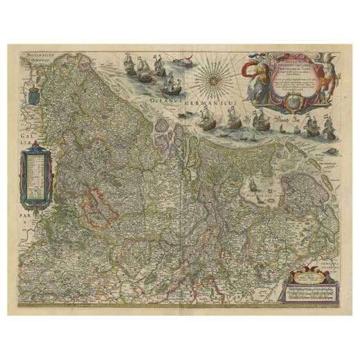
Handsome Old Detailed Map of the Low Countries by Famous Mapmaker Blaeu, ca.1635
1635
€ 2,950 · maps-prints.com
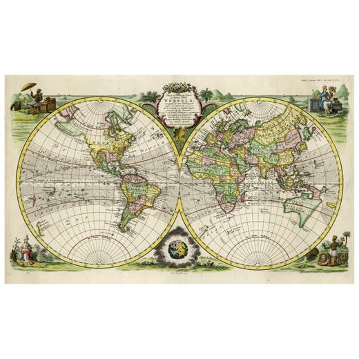
Rare Original Double Hemisphere World Map with Allegorical Figures, 1785
1785
€ 2,950 · maps-prints.com
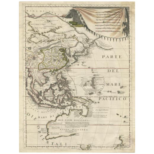
Antique Map of East Asia by Coronelli, circa 1690
1690
€ 2,900 · maps-prints.com
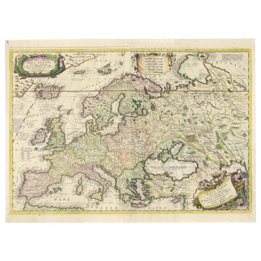
17th-Century Coronelli Map of Europe, Engraved Detail, Venice 1692
1692
€ 2,900 · maps-prints.com
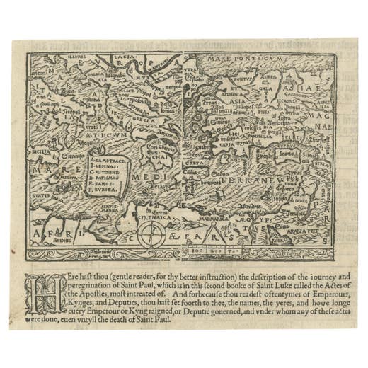
Rare and Interesting Small Antique Woodcut Map of the Mediterranean, 1568
1568
€ 2,800 · maps-prints.com
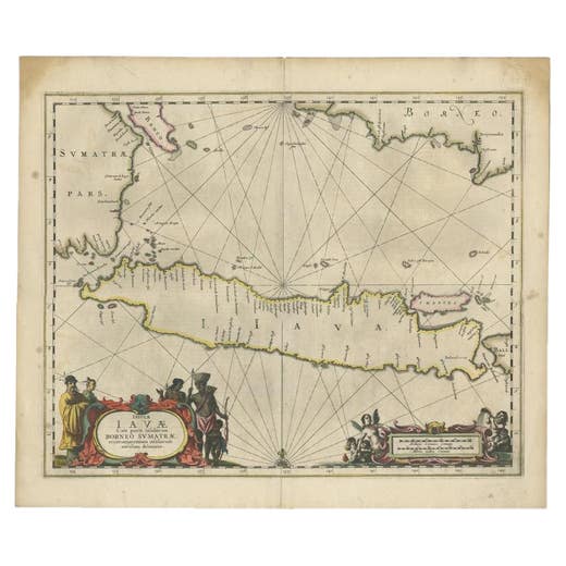
Antique Map of Java and Part of Borneo, Indonesia, c.1657
1657
€ 2,750 · maps-prints.com
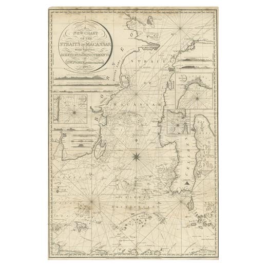
Antique Map of Straits of Makassar by J.W. Norie, Engraved Chart, 1820
1820
€ 2,750 · maps-prints.com
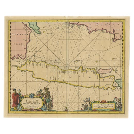
Antique Map of Java in The Dutch East Indies, Now Indonesia, c.1690
1690
€ 2,750 · maps-prints.com
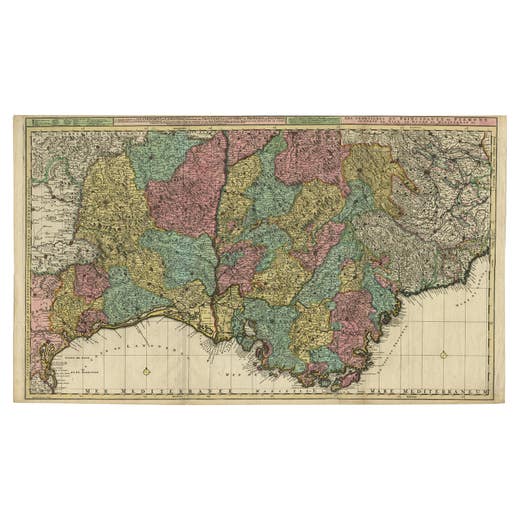
Map of Languedoc-Roussillon and Provence in France and Piedmont in Italy, c1680
1680-1689
€ 2,750 · maps-prints.com
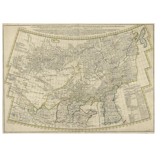
Rare Hand-Colored Antique Map of Tartary, China and Korea, ca.1741
1741
€ 2,750 · maps-prints.com
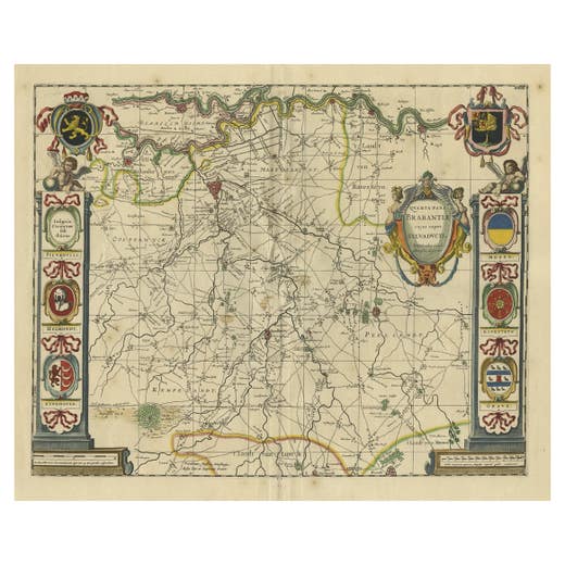
Decorative Antique Map of the Dutch Province of Noord-Brabant, ca.1640
1640
€ 2,750 · maps-prints.com
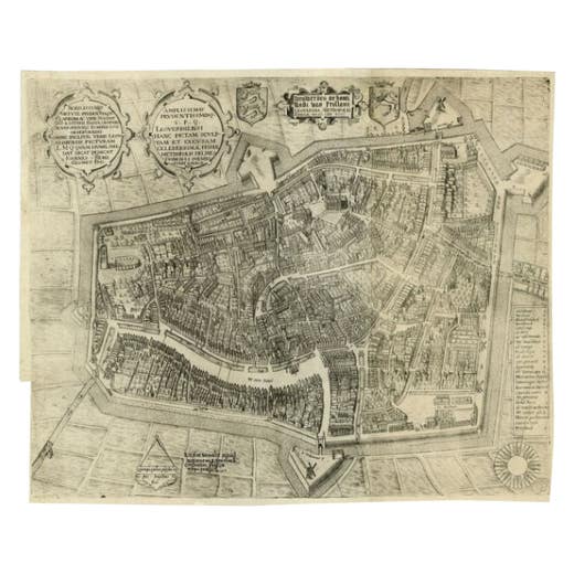
Antique Map of the City of Leeuwarden by Bast, 1603
1603
€ 2,725 · maps-prints.com
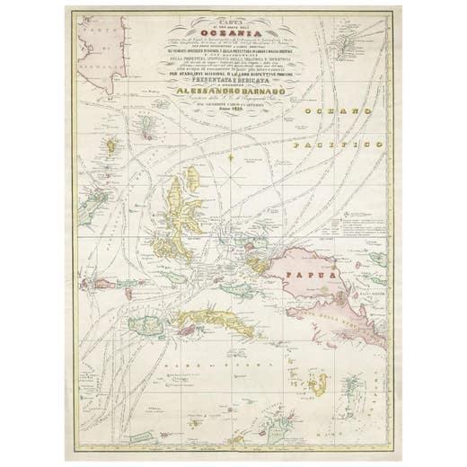
Large Italian Map of Islands of Oceania, incl Papua, Timor, Banda, Ceram, 1855
1855
€ 2,650 · maps-prints.com
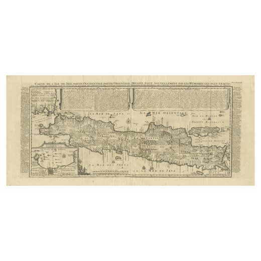
Antique Map of Java by Henri Chatelain, Decorative Print, 1718, France
1718
€ 2,650 · maps-prints.com
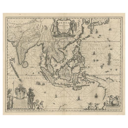
Map of Southeast Asia, Extending from India to Tibet & Japan to New Guinea, 1640
1640
€ 2,650 · maps-prints.com
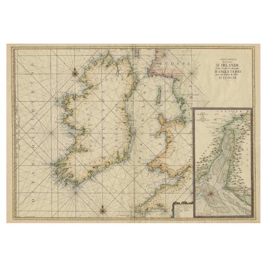
Large 1693 Maritime Map of Irish Sea, West Coasts of Ireland, England, Scotland
1693
€ 2,600 · maps-prints.com
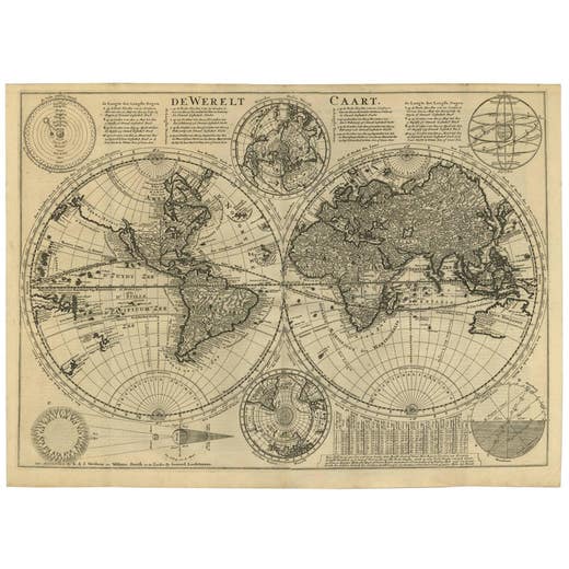
Mid-18th Century Antique World Map by R. & J. Wetstein, Netherlands
Mid-18th Century
€ 2,500 · maps-prints.com
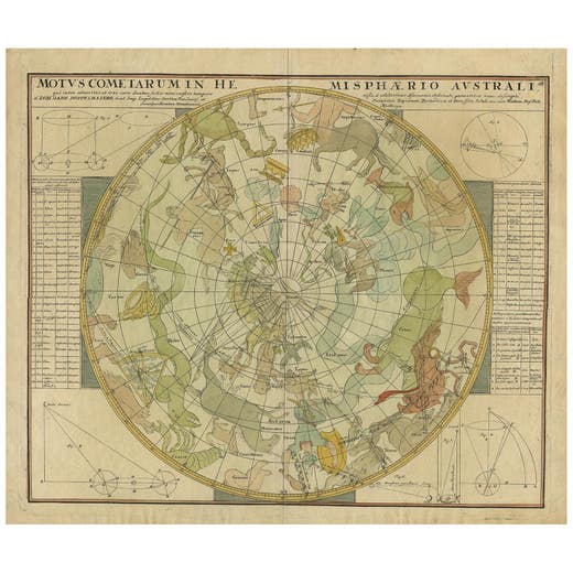
Antique Chart of the Passage of Comets in the Southern Sky, circa 1740
1740
€ 2,500 · maps-prints.com
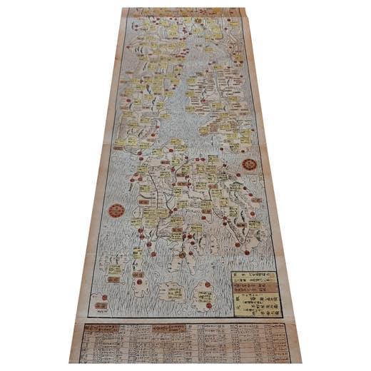
Antique Japanese Woodblock Print Map, Paper, Circa 1860, Large Size
1860
€ 2,500 · maps-prints.com
Nineteen thousand more at maps-prints.com
Our online shop holds the whole Langweer collection: maps, sea charts, city views, natural history and costume prints, all originals, with secure checkout and worldwide shipping.
Visit maps-prints.com