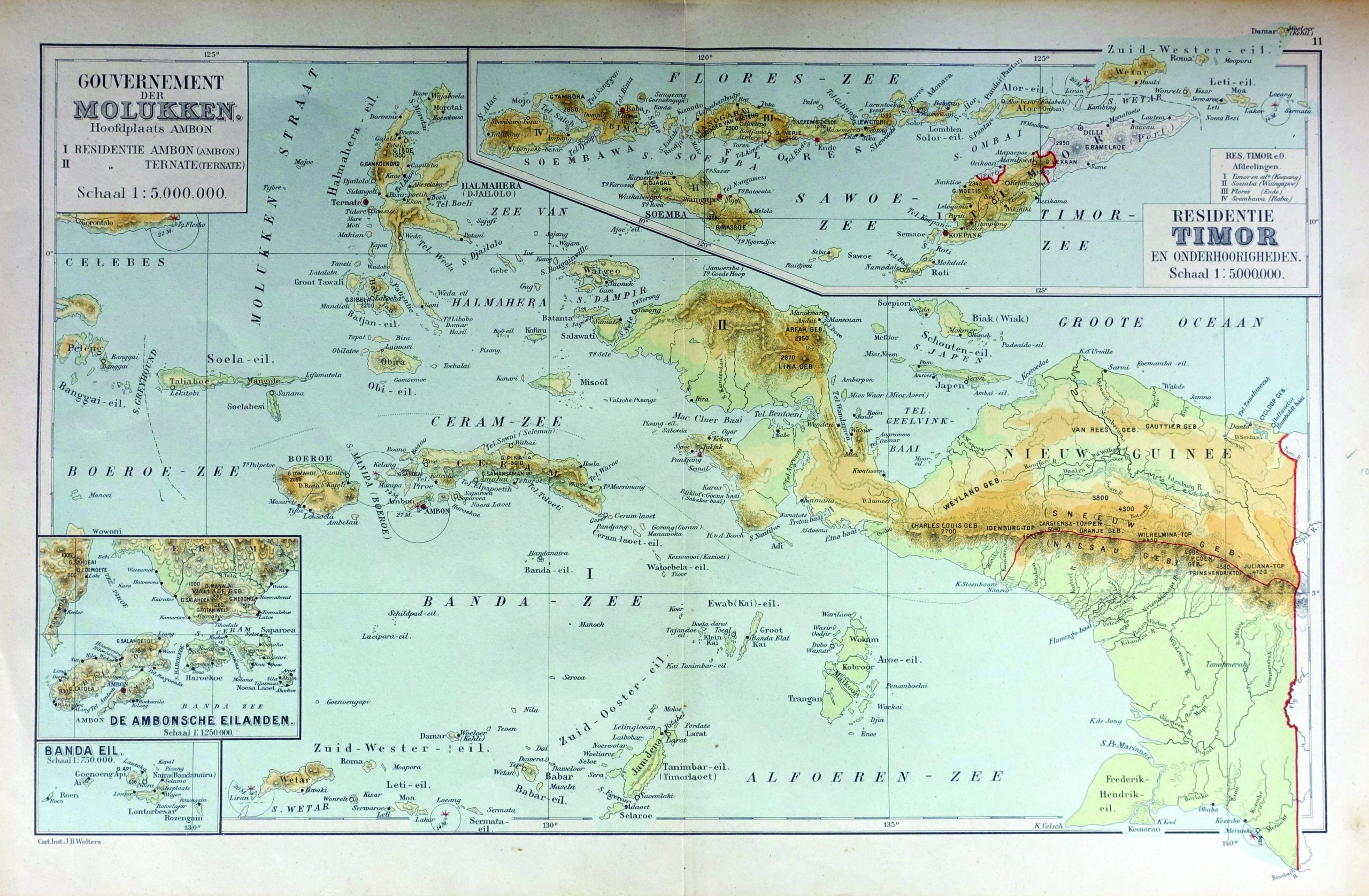
Map of Maluku Island – Unknown (1892)
J.B. Wolters · 1929
IDR 2,800,000
In our Jakarta gallery
- Maker
- J.B. Wolters
- Date
- 1929
- Category
- Map
- Edition
- Dutch
- Reference
- M2347
A 19th century map of Maluku island, Banda, Flores, Papua island and a part of Papua-Nugini.
Titled ‘ Gouvernement de Molukken, Hoofdplaats AMBON’
By unknown maker. Scale 1:5.000.000
Dimensions : 480 mm x 300 mm
Year : 1892
- An original antique sheet, not a reproduction
- The actual piece is photographed
- Certificate of authenticity on request
- Viewing in Jakarta by appointment