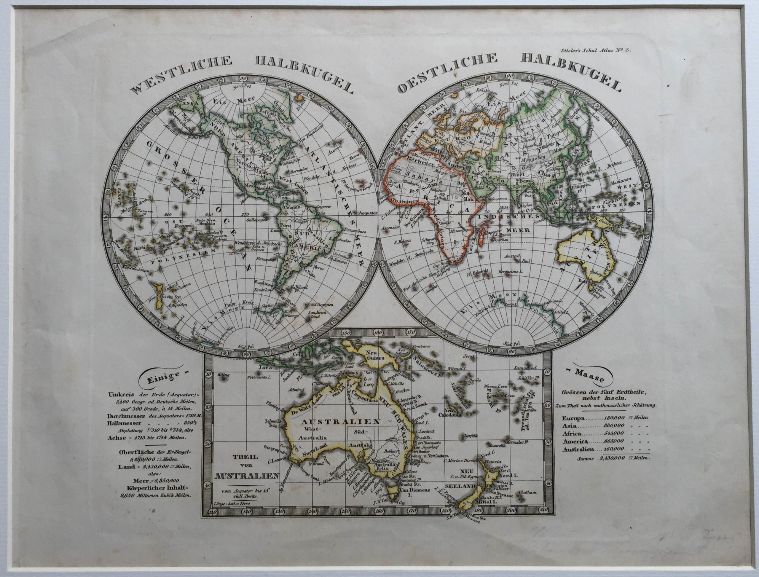
Antique World Map by A. Stieler (c.1870)
Justus Perthes · 1870
IDR 2,500,000
In our Jakarta gallery
- Maker
- Justus Perthes
- Date
- 1870
- Category
- Map
- Reference
- M1661
Antique world map by A. Stieler titled ‘Westliche Halbkugel, Oestliche Halbkugel’. Beautiful antique world map in two hemispheres. A special inset map depicts Australia and New Zealand. This map originates from an edition of Stieler’s ‘Schul-Atlas, these atlasses were published between 1821 and 1914 at the Justus Perhespublishing house in Gotha. This antique world map most likely originates from an edition published between 1870 and 1890.
Adolf Stieler was a German cartographer and lawyer. He worked most of his life in the Justus Perthes Geographical Institute in Gotha.
Artist: A. Stieler
Year: c.1870
- An original antique sheet, not a reproduction
- The actual piece is photographed
- Certificate of authenticity on request
- Viewing in Jakarta by appointment