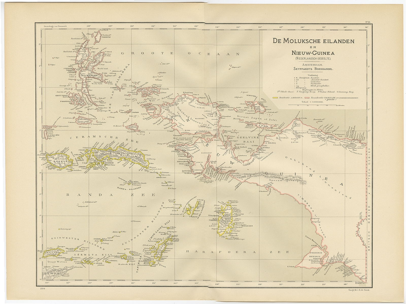
Map of Maluku Islands and New Guinea – Dornseiffen c.1900
Dr. I. Dornseiffen · 1875-1879
IDR 2,500,000
In our Jakarta gallery
- Maker
- Dr. I. Dornseiffen
- Date
- 1875-1879
- Category
- Map
- Edition
- Dutch
- Reference
- BGJC-023
Antique map titled ‘De Moluksche Eilanden en Nieuw Guinea’. Old map of the Moluccas or Maluku Islands, also showing part of New Guinea. This map originates from ‘Atlas van Nederlandsch Oost- en West-Indië’ by I. Dornseiffen.
Artists and Engravers:
Published by Seyffardt’s Boekhandel, Amsterdam.
Dimensions : 522 x 390 mm
Condition : Very good, general age-related toning.
- An original antique sheet, not a reproduction
- The actual piece is photographed
- Certificate of authenticity on request
- Viewing in Jakarta by appointment