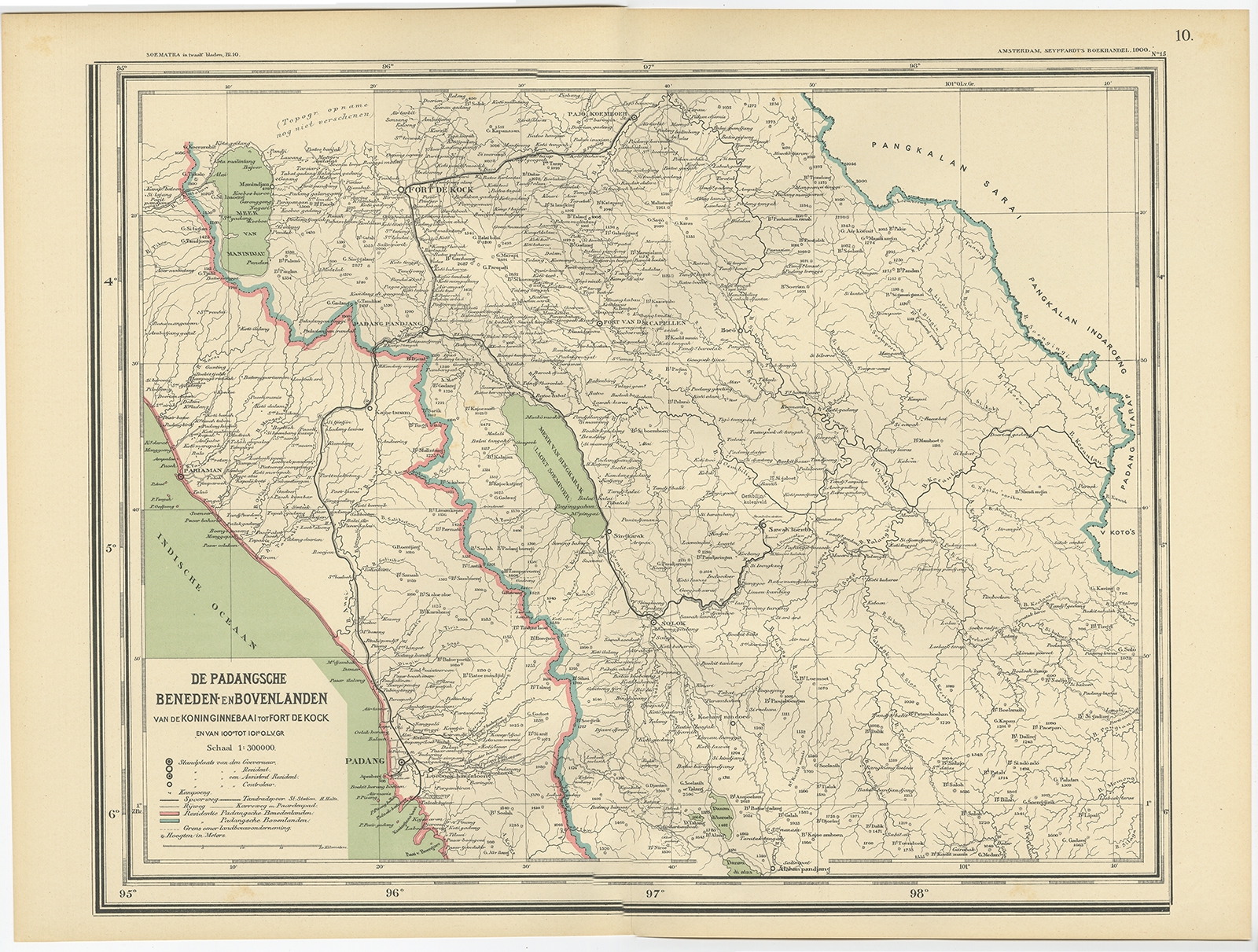
Map of Padang – Dornseiffen c.1900
Dr. I. Dornseiffen · 1875-1879
IDR 2,500,000
In our Jakarta gallery
- Maker
- Dr. I. Dornseiffen
- Date
- 1875-1879
- Category
- Map
- Edition
- Dutch
- Reference
- BGJC-015
Antique map titled ‘De Padangsche Beneden-en Bovenlanden van de Koninginnedbaai tot Fort de Kock’. Old map of Padang, Sumatra. This map originates from ‘Atlas van Nederlandsch Oost- en West-Indië’ by I. Dornseiffen.
Artists and Engravers:
Published by Seyffardt’s Boekhandel, Amsterdam.
Dimensions : 530 x 380 mm
Condition : Very good, general age-related toning.
- An original antique sheet, not a reproduction
- The actual piece is photographed
- Certificate of authenticity on request
- Viewing in Jakarta by appointment