Friesland, the Netherlands
Highlights from Langweer
A selection of important maps and prints from our Langweer gallery in Friesland. The full collection, some nineteen thousand originals, is offered at our online shop, maps-prints.com, where every piece can be bought securely and shipped worldwide.
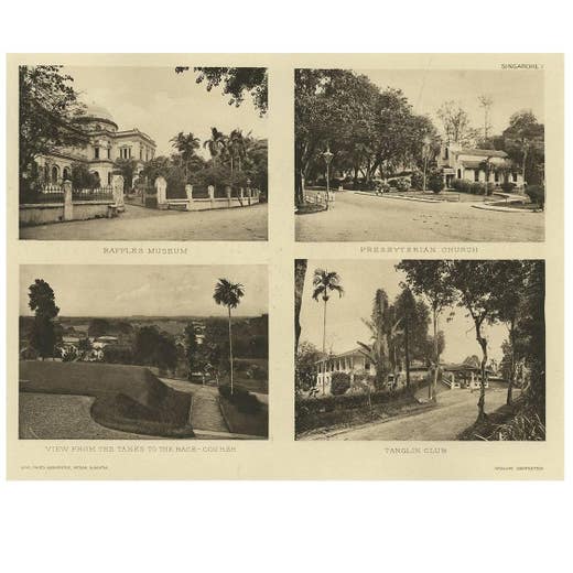
Malay Peninsula by C.J. Kleingrothe, 1907
Charles J. Kleingrothe · 1907
€ 22,000 · maps-prints.com
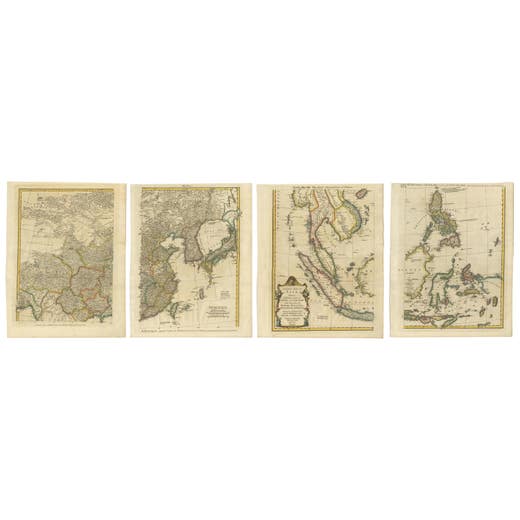
Set of Four Original Antique Maps of Asia by Bolton & Seale, circa 1770
1770
€ 7,850 · maps-prints.com
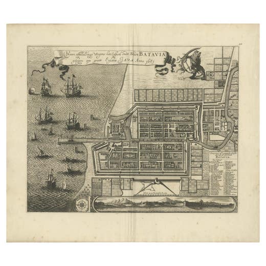
Rare 1681 Map of Batavia: Detailed Dutch Colonial Era Cartography, 1681
1681
€ 5,900 · maps-prints.com
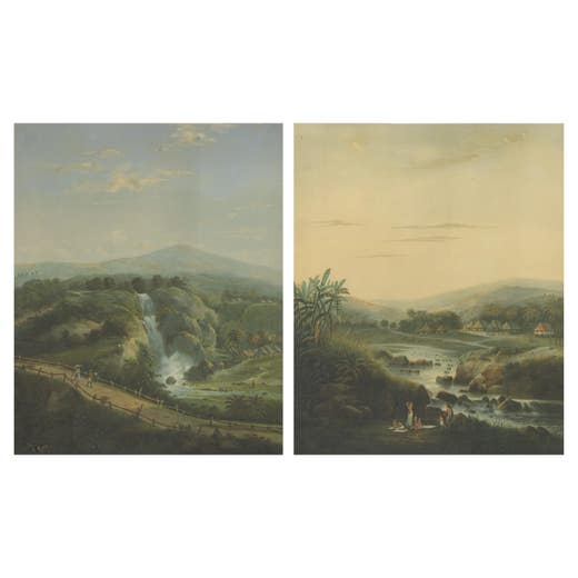
Java Landscapes – Rare Pair of Deluxe Folio Chromolithographs by Salm, 1865-72
1865
€ 5,270 · maps-prints.com
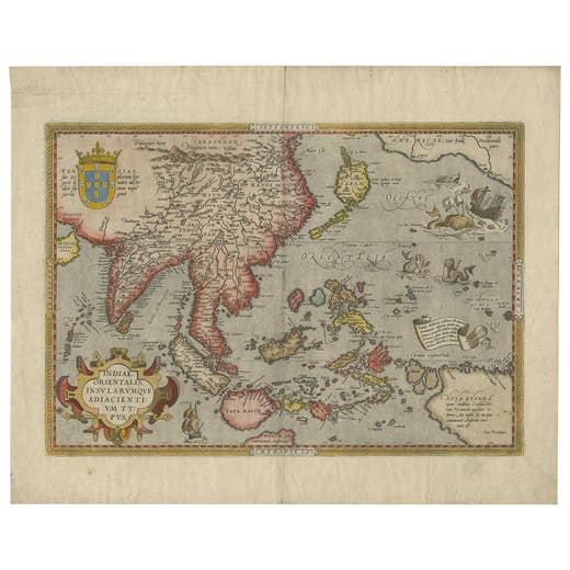
Antique Ortelius Map of Asia Featuring Japan, China, Taiwan & East Indies, 1587
Abraham Ortelius · 1587
€ 4,950 · maps-prints.com
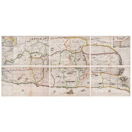
1658 Large Map of the Holy Land by Jansson – Twelve Tribes of Israel in 6 Sheets
1658
€ 3,700 · maps-prints.com
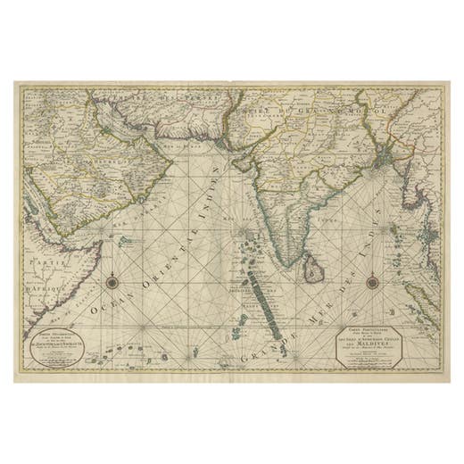
Antique Map of Southern Asia with India, the Maldives, Ceylon and Arabia, c.1700
1700
€ 3,500 · maps-prints.com
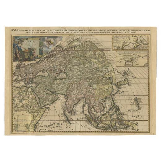
Important and Scarce Antique Map of Asia from Jesuit Sources, C.1713
1713
€ 3,500 · maps-prints.com
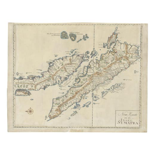
Antique Map of Sumatra, Indonesia 'c.1780'
1780
€ 3,500 · maps-prints.com
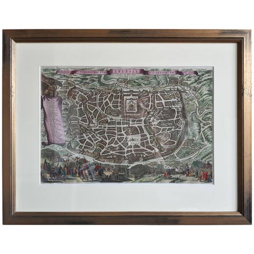
Antique Map of the City of Jerusalem by N. Visscher, 1702
1702
€ 3,450 · maps-prints.com
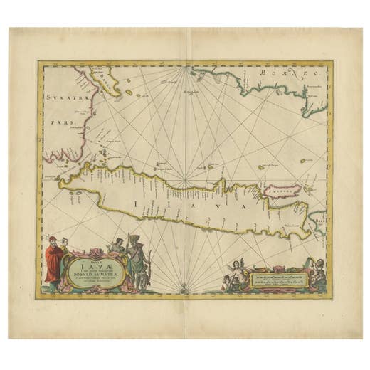
Antique Map of the Island Java, Indonesia, c.1650
1650
€ 3,250 · maps-prints.com
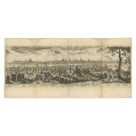
Constantinople – Panoramic Engraving by Matthäus Merian the Elder, 1635
1635
€ 3,140 · maps-prints.com
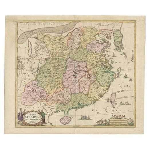
Antique Map of China and Korea incl Formosa and Hainan, by Janssonius, ca.1650
1650
€ 2,950 · maps-prints.com
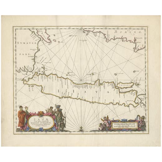
Antique Map of Java by Janssonius, circa 1650
1650
€ 2,950 · maps-prints.com
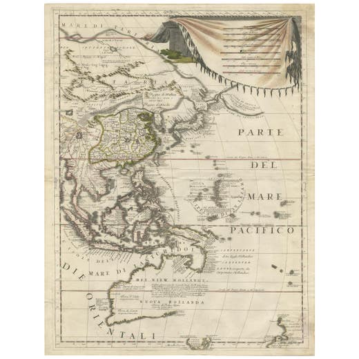
Antique Map of East Asia by Coronelli, circa 1690
1690
€ 2,900 · maps-prints.com
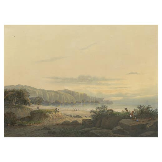
Original Antique Chromolithograh of Srigonjo Bay, the South Coast of Java, 1872
1872
€ 2,750 · maps-prints.com
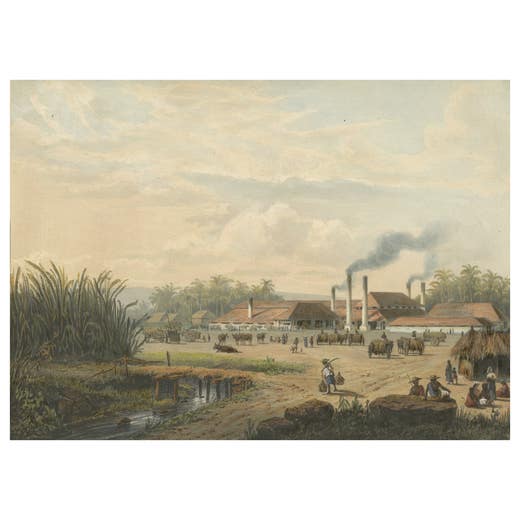
Original Chromolithograph of a Sugar Factory in Java, Indonesia, 1872
1872
€ 2,750 · maps-prints.com
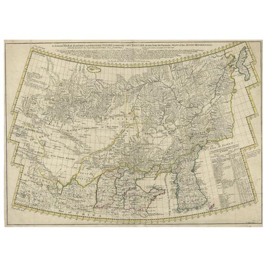
Rare Hand-Colored Antique Map of Tartary, China and Korea, ca.1741
1741
€ 2,750 · maps-prints.com
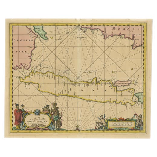
Antique Map of Java in The Dutch East Indies, Now Indonesia, c.1690
1690
€ 2,750 · maps-prints.com
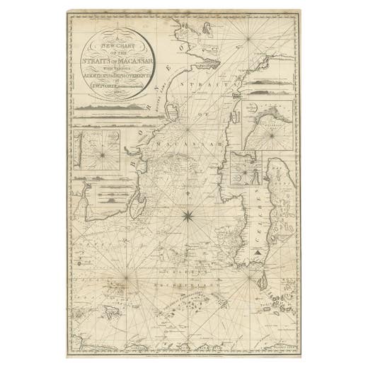
Antique Map of Straits of Makassar by J.W. Norie, Engraved Chart, 1820
1820
€ 2,750 · maps-prints.com
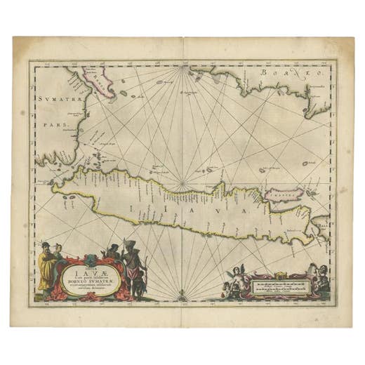
Antique Map of Java and Part of Borneo, Indonesia, c.1657
1657
€ 2,750 · maps-prints.com
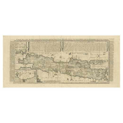
Antique Map of Java by Henri Chatelain, Decorative Print, 1718, France
1718
€ 2,650 · maps-prints.com
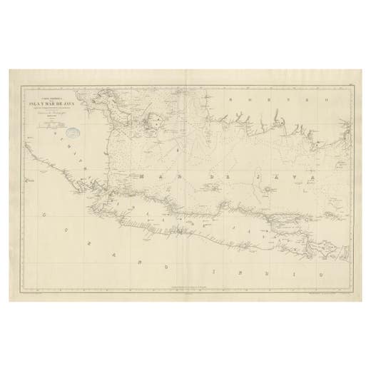
Large Chart of the island and sea of Java, Indonesia
Antique Map
€ 2,500 · maps-prints.com
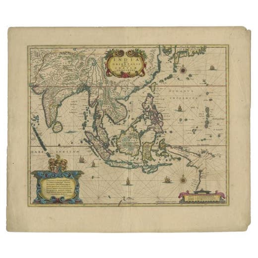
Original Antique Map of the East Indies (Indonesia) by Janssonius, c.1644
Johannes Janssonius · 1644
€ 2,500 · maps-prints.com
Nineteen thousand more at maps-prints.com
Our online shop holds the whole Langweer collection: maps, sea charts, city views, natural history and costume prints, all originals, with secure checkout and worldwide shipping.
Visit maps-prints.com