Friesland, the Netherlands
Highlights from Langweer
A selection of important maps and prints from our Langweer gallery in Friesland. The full collection, some nineteen thousand originals, is offered at our online shop, maps-prints.com, where every piece can be bought securely and shipped worldwide.
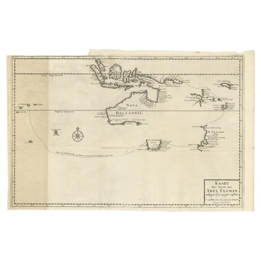
Early Map of Australasia, Marking The Route of Abel Tasman in 1642 'Publ. 1726'
1642
€ 8,500 · maps-prints.com
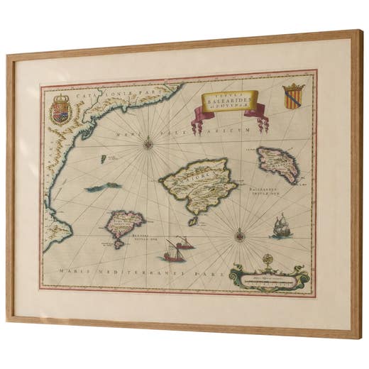
Antique Blaeu Map Mallorca Ibiza Balearic Islands, Mediterranean, 1642
1642
€ 4,750 · maps-prints.com
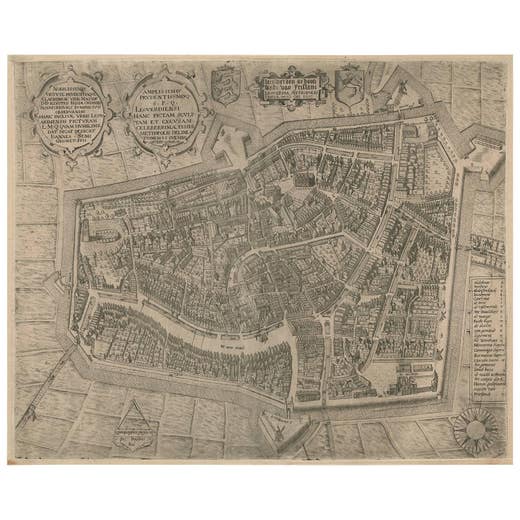
Rare Antique Map of Leeuwarden by P. Bast, 1603, Wall Art, Netherlands
P. Bast · 1603
€ 4,250 · maps-prints.com
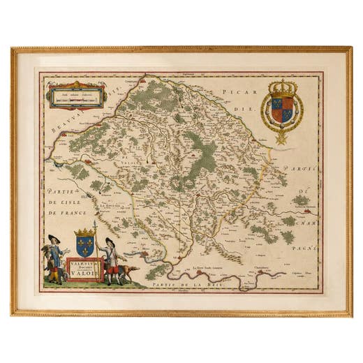
Antique Map of Valois, Picardy France – Blaeu Hand Colored c.1642
1642
€ 3,950 · maps-prints.com
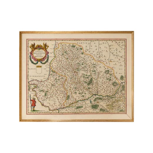
Antique Map Beauvais, Picardy France – Blaeu Hand Colored c.1642
1642
€ 3,450 · maps-prints.com
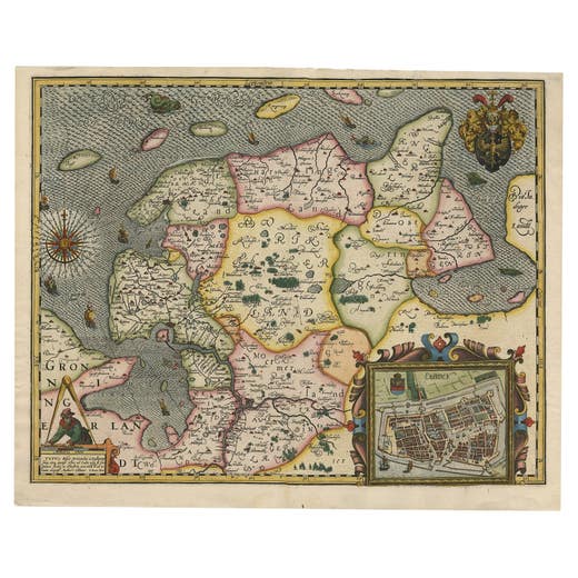
Stunning Decorative Antique Map of East Frisia with an Inset of Emden, c.1610
1610
€ 3,250 · maps-prints.com
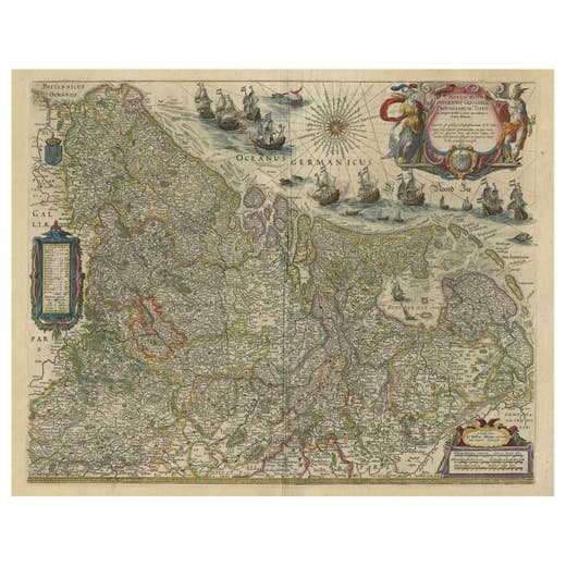
Handsome Old Detailed Map of the Low Countries by Famous Mapmaker Blaeu, ca.1635
1635
€ 2,950 · maps-prints.com
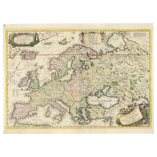
17th-Century Coronelli Map of Europe, Engraved Detail, Venice 1692
1692
€ 2,900 · maps-prints.com
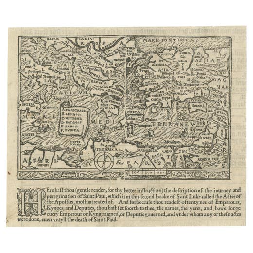
Rare and Interesting Small Antique Woodcut Map of the Mediterranean, 1568
1568
€ 2,800 · maps-prints.com
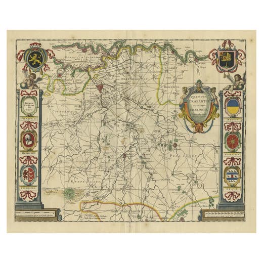
Decorative Antique Map of the Dutch Province of Noord-Brabant, ca.1640
1640
€ 2,750 · maps-prints.com
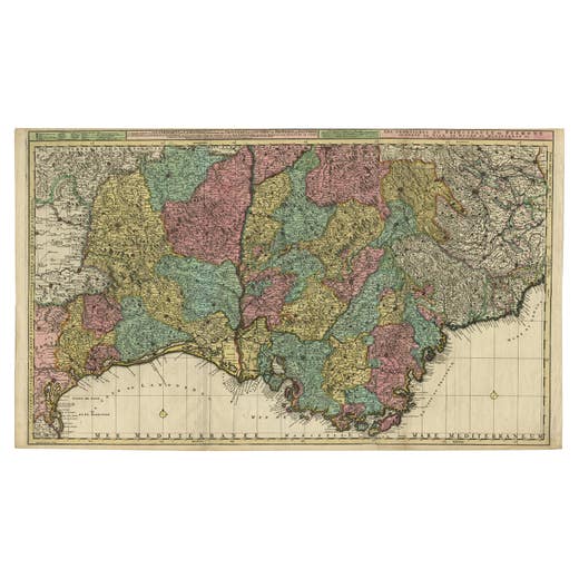
Map of Languedoc-Roussillon and Provence in France and Piedmont in Italy, c1680
1680-1689
€ 2,750 · maps-prints.com
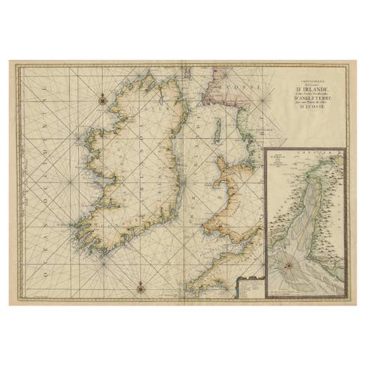
Large 1693 Maritime Map of Irish Sea, West Coasts of Ireland, England, Scotland
1693
€ 2,600 · maps-prints.com
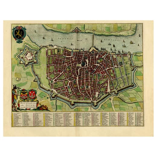
Beautiful Original Antique Map of Antwerp, Belgium by Mapmaker Blaeu, ca.1652
1652
€ 2,500 · maps-prints.com
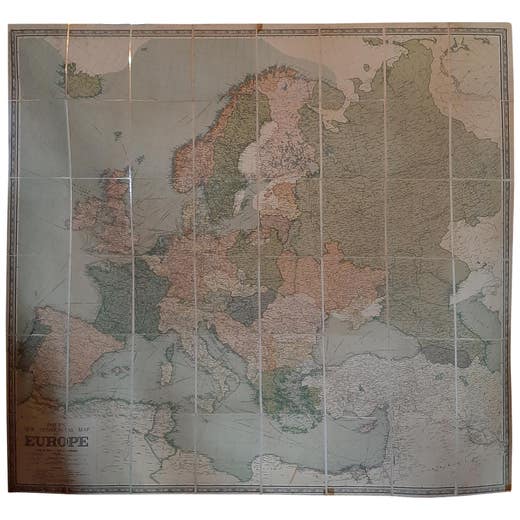
Large Wall Map of Europe by George Philip & Son, circa 1920
1920
€ 2,500 · maps-prints.com
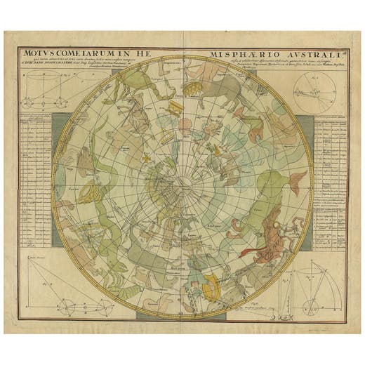
Antique Chart of the Passage of Comets in the Southern Sky, circa 1740
1740
€ 2,500 · maps-prints.com
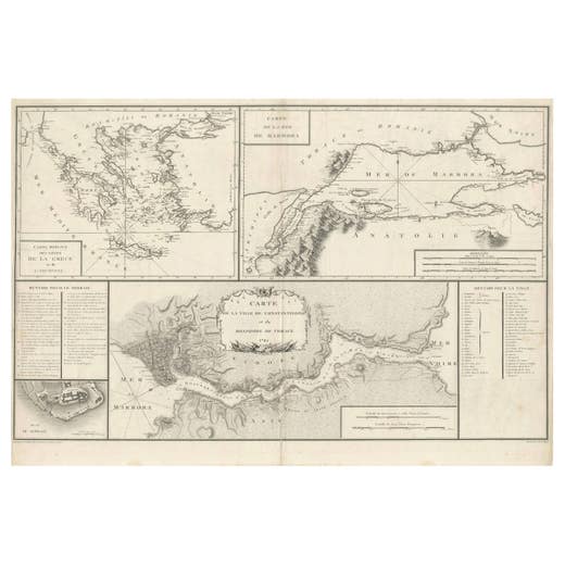
Map of Constantinople, Bosphorus, the Coasts of Greece and the Archipelago, 1785
1785
€ 2,450 · maps-prints.com
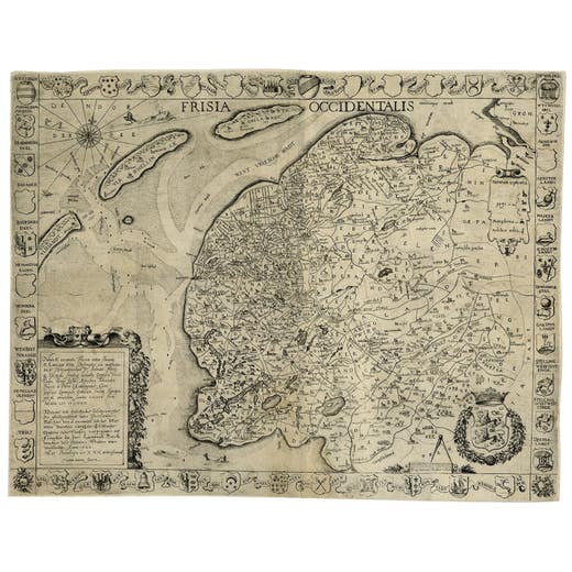
Frisia Occidentalis, A Rare Antique Engraving of Friesland, The Netherlands
Antique Map
€ 2,450 · maps-prints.com
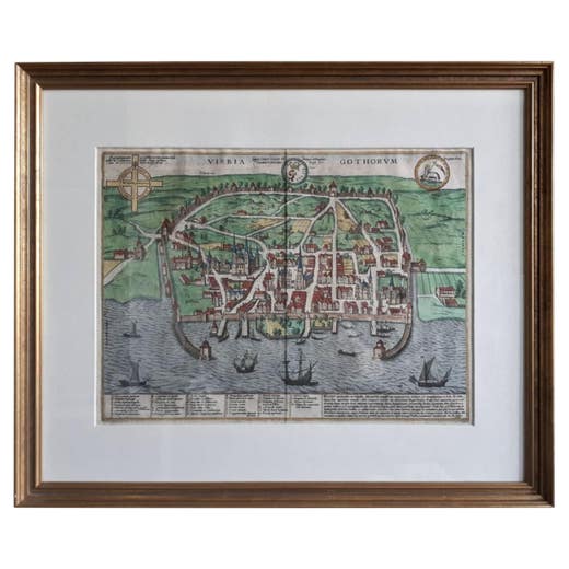
Antique Map of the City of Visby 'Sweden' by F. Hogenberg, 1598
1598
€ 2,450 · maps-prints.com
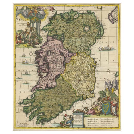
Hibernia Regnum Map by Carel Allard, 1700: Hand-Colored Provinces of Ireland
1700
€ 2,400 · maps-prints.com
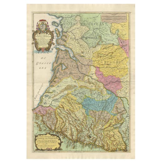
Large 1695 Hand-Colored Engraved Map of Gascony (Gascogna), France
1695
€ 2,250 · maps-prints.com
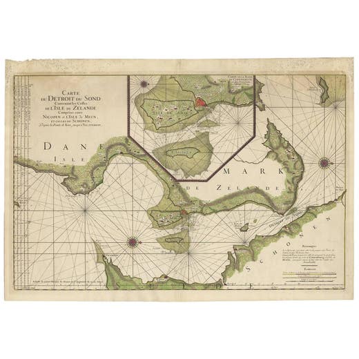
Antique Map: Carte du Détroit du Sond with Copenhagen Inset, 1693
Unknown · 1693
€ 2,250 · maps-prints.com
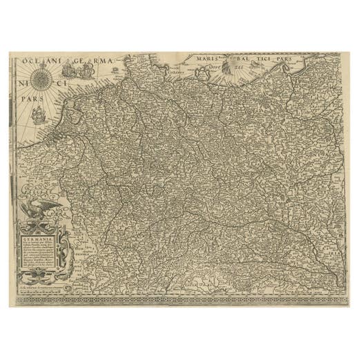
Antique Map of the German Empire with decorative Title Cartouche
Antique Map
€ 2,200 · maps-prints.com
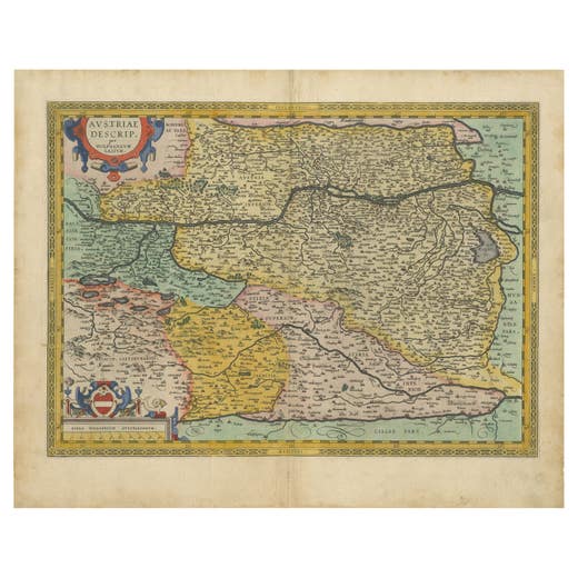
Austria by Wolfgang Lazius – A Magnificent 16th-Century Map from Ortelius, 1592
1592
€ 2,200 · maps-prints.com
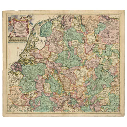
Rare Theodore Danckerts Map of the Lower Rhine and Moselle River Regions
Antique Map
€ 2,200 · maps-prints.com
Nineteen thousand more at maps-prints.com
Our online shop holds the whole Langweer collection: maps, sea charts, city views, natural history and costume prints, all originals, with secure checkout and worldwide shipping.
Visit maps-prints.com