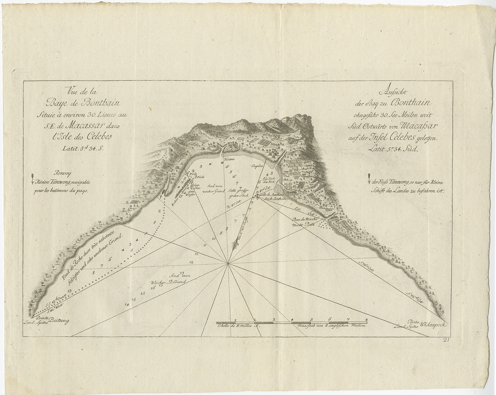
Antique Map of Celebes (Sulawesi) by Hawkesworth (1774)
Phillip Carteret · 1774
IDR 4,000,000
In our Jakarta gallery
- Maker
- Phillip Carteret
- Date
- 1774
- Reference
- BGJC-0014
Antique map titled ‘Vue de la Baye de Bonthain (..)’. Map of the island Sulawesi (Celebes), Indonesia that Philip Carteret rested his crew and made repairs to his ship the Swallow for 5 months. Originates from ‘Geschichte der See-Reisen und Entdeckungen im Süd-Meer welche auf Befehl Sr. Großbrittanischen Majestät unternommen, und von Commodore Byron, Capitain Wallis, Capitain Carteret und Capitain Coockim Dolphin, der Swallow, und dem Endeavour nach einander ausgeführt worden sind (..)’.
Artists and Engravers:
Published by Haude & Spener, Berlin.
Date: 1774
Overall size: 32.5 x 26.5 cm.
Image size: 29 x 17.5 cm.
Condition: Very good, general age-related toning. Please review the images for further condition details.
- An original antique sheet, not a reproduction
- The actual piece is photographed
- Certificate of authenticity on request
- Viewing in Jakarta by appointment