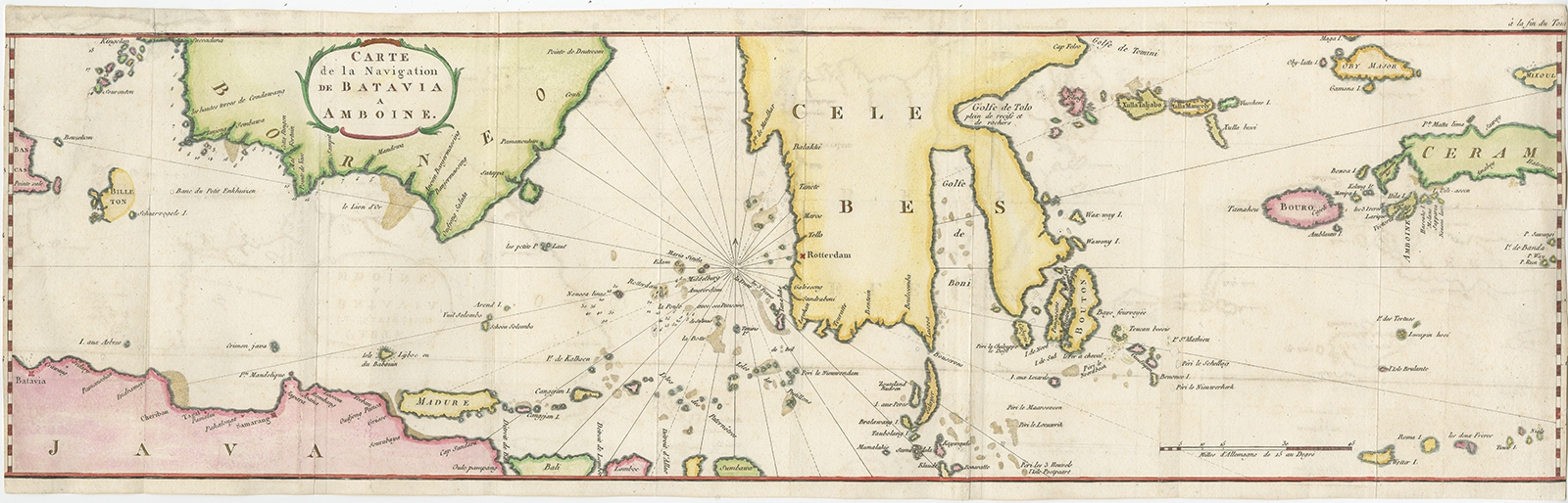
Carte de la Navigation de Batavia a Amboina – Stavorinus (1779)
Stavorinus · 1779
US$ 875
In our Jakarta gallery
- Maker
- Stavorinus
- Date
- 1779
- Reference
- BG-11358
Antique map Indonesia titled ‘Carte de la Navigation de Batavia a Amboina’. Rare chart of Indonesia including Borneo, Java, Celebes, Ceram and more. This map originates from ‘Voyage par le Cap de Bonne-Esperance et Batavia a Samarang, a Macassar, a Amboine et a Surate, en 1774, 75, 76, 77 et 78. Traduit du Hollandais’.
Artists and Engravers:
Published by H.J. Jansen, Paris.
Date: 1779
Overall size: 74.5 x 23 cm.
Image size: 74 x 21 cm.
Condition: Good, professionally restored. Some toning, Please review the images for further condition details.
- An original antique sheet, not a reproduction
- The actual piece is photographed
- Certificate of authenticity on request
- Viewing in Jakarta by appointment