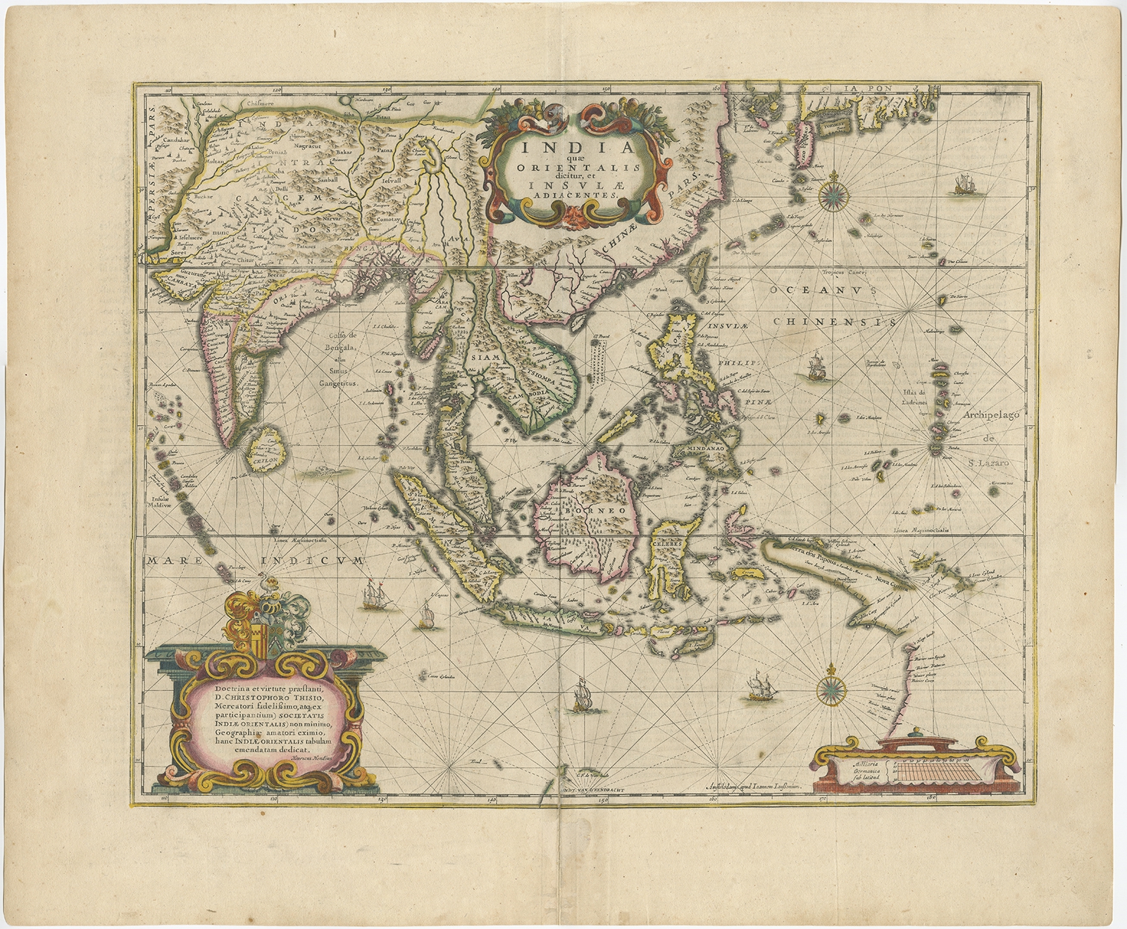
Antique Map of the East Indies by Janssonius (c.1644)
Janssonius · 1644
IDR 33,000,000
In our Jakarta gallery
- Maker
- Janssonius
- Date
- 1644
- Reference
- BG-11283
Antique map titled ‘India quae Orientalis dicitur, et Insulae adiacentes’. Old map of the East Indies and Southeast Asia showing the area between India in the West and parts of Japan, the Marianas and New Guinea/Australia in the East. This map is dedicated to D. Christophorus Thisius by Henricus Hondius. Published by J. Janssonius, c.1644.
Artists and Engravers:
Johannes Janssonius (Jansson), ( 1588- 1664) Amsterdam was born in Arnhem, the son of Jan Janszoon the Elder,a publisher and bookseller.
Date: c.1644
Overall size: 60 x 50 cm.
Image size: 49 x 39.5 cm.
Condition: Very good, general age-related toning. Rare, contemporary coloring. French text on verso. Please review the images for further condition details.
- An original antique sheet, not a reproduction
- The actual piece is photographed
- Certificate of authenticity on request
- Viewing in Jakarta by appointment