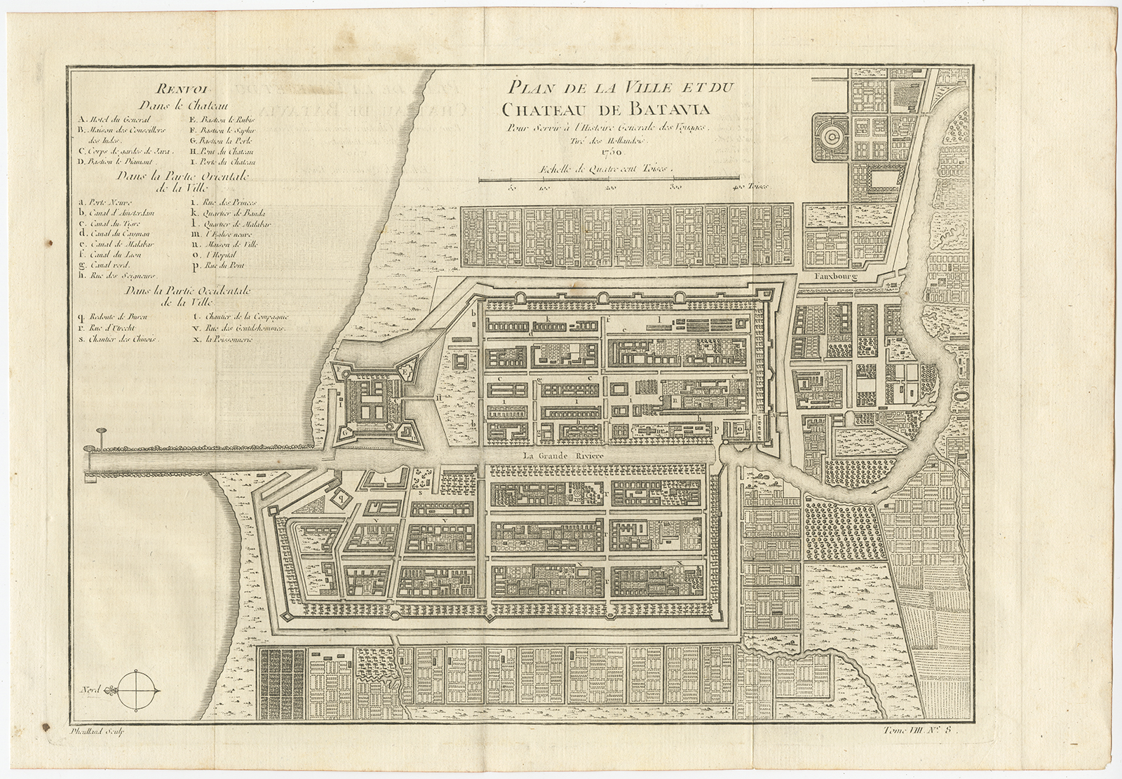
Map of Batavia – Bellin (1750)
Bellin/Prevost · 1750
€ 450
In our Jakarta gallery
- Maker
- Bellin/Prevost
- Date
- 1750
- Reference
- BG-11199
Antique map of Batavia titled ‘Plan de la Ville et du Château de Batavia’
An 18th century copperplate engraved map with hand-coloring and a indicated key identifying the principal streets and canals.
Artists and Engravers: Jacques Nicolas Bellin (1703 – 21 March 1772) was born in Paris. He was hydrographer of France’s hydrographic office, member of the Académie de Marine and of the Royal Society of London. Over a 50 year career, he produced a large number of maps of particular interest to the Ministère de la Marine.
Conditions: Good, age-toning
Measurements: 360 x 250 mm
- An original antique sheet, not a reproduction
- The actual piece is photographed
- Certificate of authenticity on request
- Viewing in Jakarta by appointment